Telluride’s summer economy depends on public land access
Telluride’s summer starts on public ground, where trailheads, OHV roads, and agency lines decide what you can do and which local businesses feel the flow.
Outdoor recreation on public lands in Colorado generates roughly $42 billion a year, the Forest Service estimates. In Telluride, Bear Creek, Bridal Veil, and the route toward Tomboy Lake run across Forest Service ground, while the four-wheel-drive roads reaching old mining claims cut through BLM land. That access turns the valley’s scenery into hiking, biking, fishing, hunting, and off-road season.
The trails that shape the day
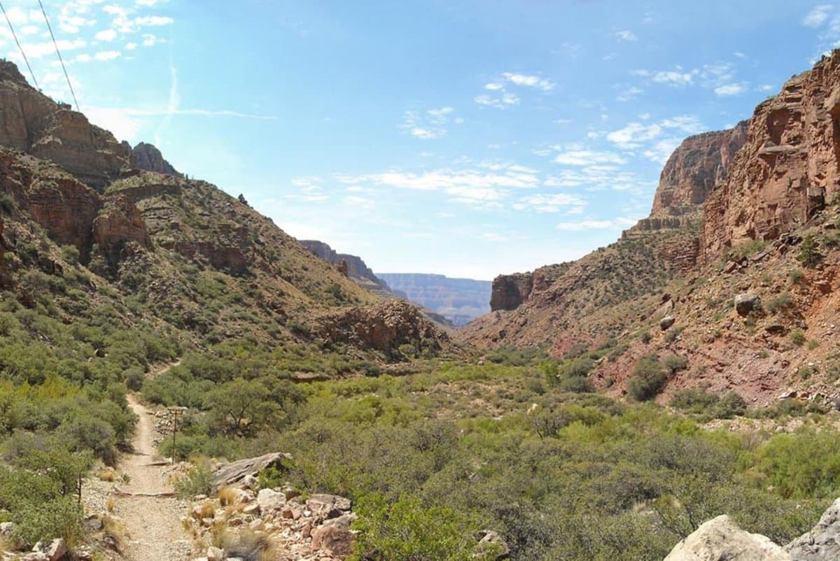
Telluride’s most important summer routes are not abstract lines on a map. The Bear Creek Trail begins at the south end of Pine Street on the Town of Telluride’s Bear Creek Preserve and runs to Bear Creek Falls, while the Bridal Veil Trail starts at the road closure gate on Forest Service Road 648 and climbs past the privately owned Bridal Veil Powerhouse, where visitors are asked to stay on trail and respect private property. The Wasatch Trail feeds the upper Bear Creek drainage, and the Blixt Trail follows an old mining road up toward Bridal Veil Basin, where history and high-alpine access are still packed into the same corridor.
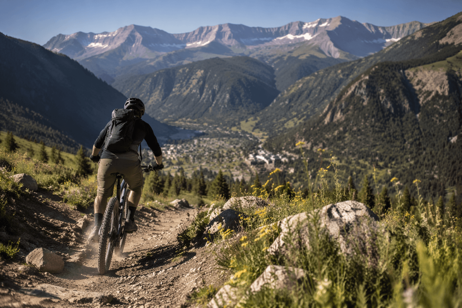
Closer to town, the Jud Wiebe Trail begins at the end of Aspen Street and ends at Tomboy Road, which makes it one of the cleanest examples of how Telluride’s public-land network directs daily choices. Jud Wiebe is a popular loop with wide views of town, Bear Creek, and neighboring peaks, and Tomboy Road itself is a challenging OHV route linking Telluride and Ouray over 13,114-foot Imogene Pass. Along the way, the road enters the privately owned Tomboy Townsite after about 4.5 miles, a reminder that public access here often runs right up against private ground, historic mining remnants, and sharply different kinds of use.
How to read the map before you go
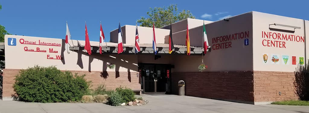
In Telluride, the smartest summer move is to identify the managing agency before you commit to a route. The Forest Service’s interactive visitor map shows roads, trails, recreation sites, wilderness areas, and wild and scenic rivers, while BLM map tools focus on designated roads and trails managed for current and future access. The San Juan National Forest keeps visitor maps, publications, and current conditions available through district offices, because the right line on the map is not always the right line on the ground.
The Forest Service manages more than 165,000 miles of National Forest System trails nationwide, and the BLM’s travel-management system is built around a designated network of roads and trails meant to protect access while keeping use organized. In Telluride, that is the difference between heading out for a loop on foot, taking a bike higher into the basin, or choosing a motorized route.
Where crowding and stewardship are most visible
The pressure points are easiest to see on the most popular routes. Jud Wiebe is a popular loop, and the Wasatch Trail is a popular route into the upper Bear Creek drainage, which is exactly where summer congestion tends to pile up close to town and where trail wear becomes visible fast. The terrain is rugged, and the San Juan National Forest asks visitors to respect each other and the natural resources.
Blixt follows an old mining road, Bridal Veil climbs past a privately owned powerhouse, and Tomboy Road runs through a privately owned townsite, so staying on route is not just about convenience, it is about keeping historic sites, private inholdings, and fragile mountain terrain from taking the hit. BLM’s travel-management system centers on a designated network that protects recreational access.
What a good Telluride day looks like
A strong Telluride summer plan starts with the same habit every time: check the map, match your route to the managing agency, and decide whether you are headed onto a foot trail, a bike route, an OHV road, or a corridor that crosses private land before it reaches the next basin. That is how Bear Creek, Bridal Veil, Jud Wiebe, Wasatch, Blixt, and Tomboy stop being names on a brochure and become actual choices for the day.
This article was produced by Prism’s automated news system from verified source data, official records, and press releases, then run through automated quality and moderation checks before publishing. The system is built and supervised by the people who set the standards it runs under. Read our full AI policy.
Know something we missed? Have a correction or additional information?
Submit a Tip