Arizona Trail Association site helps plan desert-to-Utah adventures
Bookmark the Arizona Trail Association site before you lock in a route. It tracks water, passages, volunteer work, and route changes that can reshape a desert-to-Utah trip.
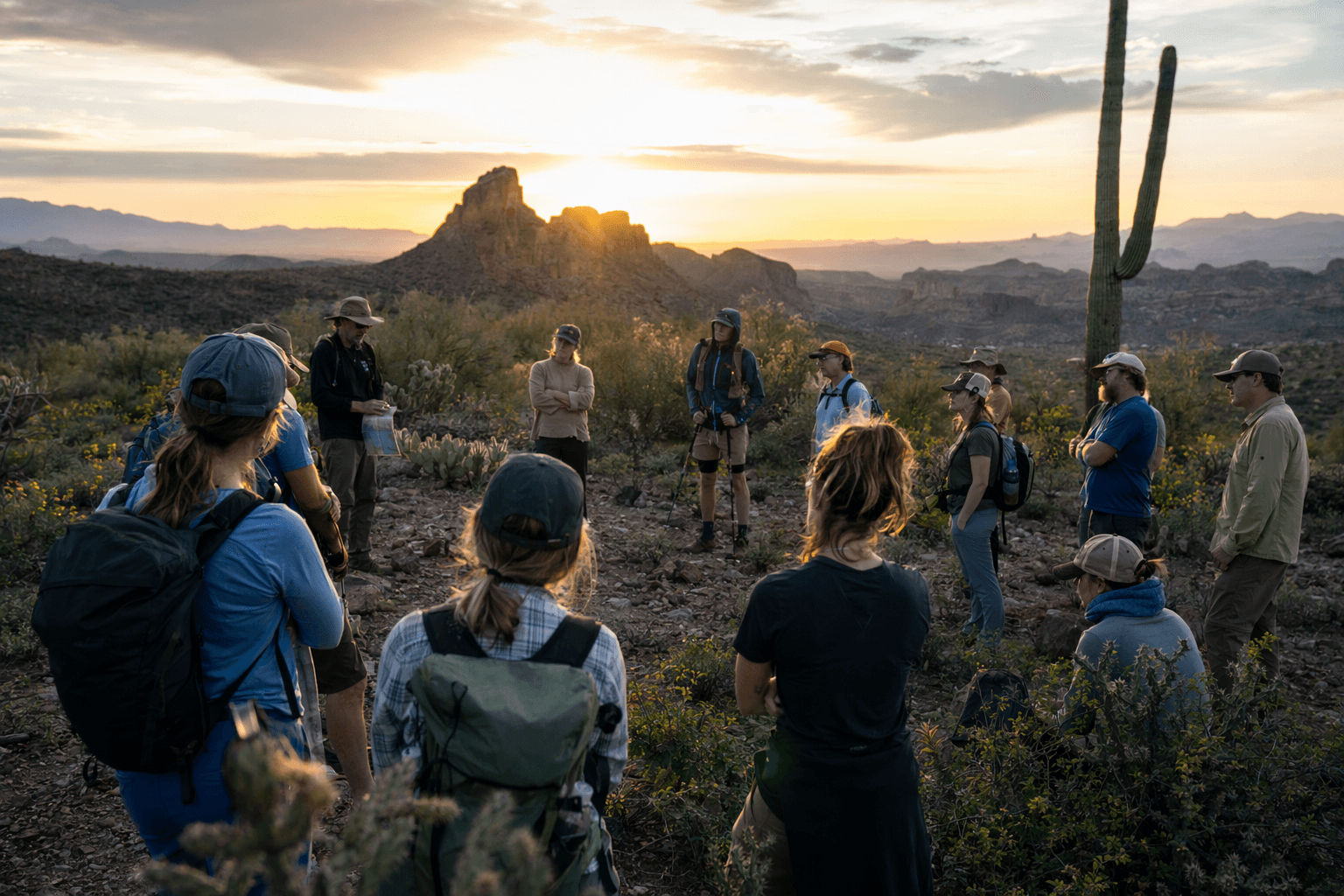
The Arizona Trail Association site is the first tab to open
The Arizona Trail Association site is the working hub for anyone planning time on the Arizona National Scenic Trail. This is not just a place to admire a famous route from afar. It is where you check the moving parts that can change a trip fast: water conditions, passage details, volunteer updates, route news, and the support network that keeps an 800-mile crossing of Arizona usable.
That matters because the Arizona Trail is non-motorized and stretches from Mexico to Utah across deserts, mountains, canyons, forests, and communities. Hikers, backpackers, bikepackers, equestrians, runners, and section travelers all face different logistics on the same trail, and those logistics shift with season, elevation, and route management. The site is built to help you plan around those realities before you commit to a desert traverse, a mountain section, or a shorter overnight.
What the trail is, in practical terms
The Arizona Trail is divided into 43 passages, and that structure is one of the biggest reasons the official site is useful. Instead of forcing you to work from a single broad map, the site breaks the route into pieces that are easier to compare, plan, and combine into a realistic itinerary. Each passage page gives you detailed maps, profiles, tracks, and waypoints, plus gateway communities and water-source information.
That combination is exactly what travelers need when mileage depends on conditions rather than wishful thinking. A passage with reliable access to water and a nearby gateway community can look very different from a long dry stretch that demands more careful carrying strategy. The site’s map tools, including the Arizona Trail App, are designed for that kind of decision-making. They let you zoom out for the whole corridor or focus tightly on the parts of the route that will shape your next day, your resupply, or your exit plan.
Why the water and access details deserve attention
On the Arizona Trail, water is not a sidebar. It is a trip-defining variable. The association’s passage pages and map resources include water-source information because daily mileage, camping choices, and safety margins all change when springs, tanks, creeks, or other sources are uncertain. That is especially important for travelers moving through the desert side of the route, where a seemingly simple section can become much more demanding if conditions shift.
The trail also runs through gateway communities, and those towns are part of the planning equation too. They affect resupply, lodging, food, transportation, and in some cases whether a section hike is practical at all. When you use the official site well, you are not just looking for where the line on the map goes. You are building a safer route around what is actually available on the ground.
Track the news feed before you depart
The site’s home page points users toward featured trail news, passage updates, event calendars, programs, a store, and media content. That mix is valuable because the Arizona Trail is a living route, not a fixed backcountry artifact. A good itinerary depends on knowing what has changed recently, especially if your trip crosses sections where stewardship work, access issues, or route improvements are underway.
Recent reporting on the site shows why. In May 2025, the association reported water-quality testing related to concerns about gastrointestinal illness along the trail, a reminder that route planning sometimes has to account for health and safety beyond the usual weather and mileage calculations. The site has also carried updates on reroutes that continue to reduce roadwalk mileage on parts of the trail. That kind of change may seem small on a map, but it can alter the experience of a section and affect how you pace, stage, or support a trip.

For travelers, the lesson is simple: check the news before you leave, not after you are already committed to a long segment.
Look for the stewardship story behind the route
The Arizona Trail Association is not only maintaining information. It is helping manage a community project. The organization says it incorporated in 1994 as a nonprofit, and the trail itself gained official National Scenic Trail designation in 2009 after decades of advocacy and route-building work. That history matters because it explains why the site contains so much practical detail. The trail has been built, refined, and defended by an active network of people, not left to stand on its own.
Matthew J. Nelson has served as Executive Director since 2012, and the site says his connection to the trail goes back more than 25 years. That long involvement shows up in the tone of the organization’s work: steady, operational, and focused on the actual demands of moving people across a huge corridor. If you are planning a trip, that kind of continuity is worth paying attention to. It usually means the information is being shaped by someone who understands the route from the inside.
The numbers show how active the community still is
The association’s 2024 completion survey received 1,271 unique entries between February 12, 2019 and July 4, 2024. That is a strong sign that the trail continues to draw a wide range of travelers, from finishers to section hikers to riders and runners who are only touching part of the route. It also reflects the value of a central planning site. When that many people are attempting the trail in different ways, the need for clear passage-by-passage information only grows.
The organization’s 2024 annual report also highlights Trail Operations, Volunteer Program, Veterans Program, Seeds of Stewardship, and 2025 priorities. Those program names tell you a lot about how the Arizona Trail is managed. This is a route shaped by work on the ground, by volunteers, and by programs that keep the corridor usable and connected. If your trip depends on a trail segment being open, maintained, and signed well enough to follow, those efforts are part of your planning whether you see them or not.
What the latest route reporting says about the trail’s future
A February 2026 story republished on the site gave a blunt snapshot of how much work remains. Nelson said about 80 miles of the Arizona Trail were still co-located with dirt roads, and about 40 miles of singletrack projects had been completed over the prior 10 years. That is the kind of detail travelers should notice because it affects the character of a trip. Road sections, singletrack projects, and ongoing reroutes all change how remote, smooth, or exposed a day feels.
It also reinforces why the official site deserves a permanent spot in your trip-planning routine. The Arizona Trail is still being improved, still being monitored, and still being shaped by the people who maintain it. If you want to make better decisions about water, mileage, access, and timing, this is the place to start before you head from the border north toward Utah.
This article was produced by Prism’s automated news system from verified source data, official records, and press releases, then run through automated quality and moderation checks before publishing. The system is built and supervised by the people who set the standards it runs under. Read our full AI policy.
Did this article answer your question?


