Arizona Trail study reveals wildlife and recreation patterns across biomes
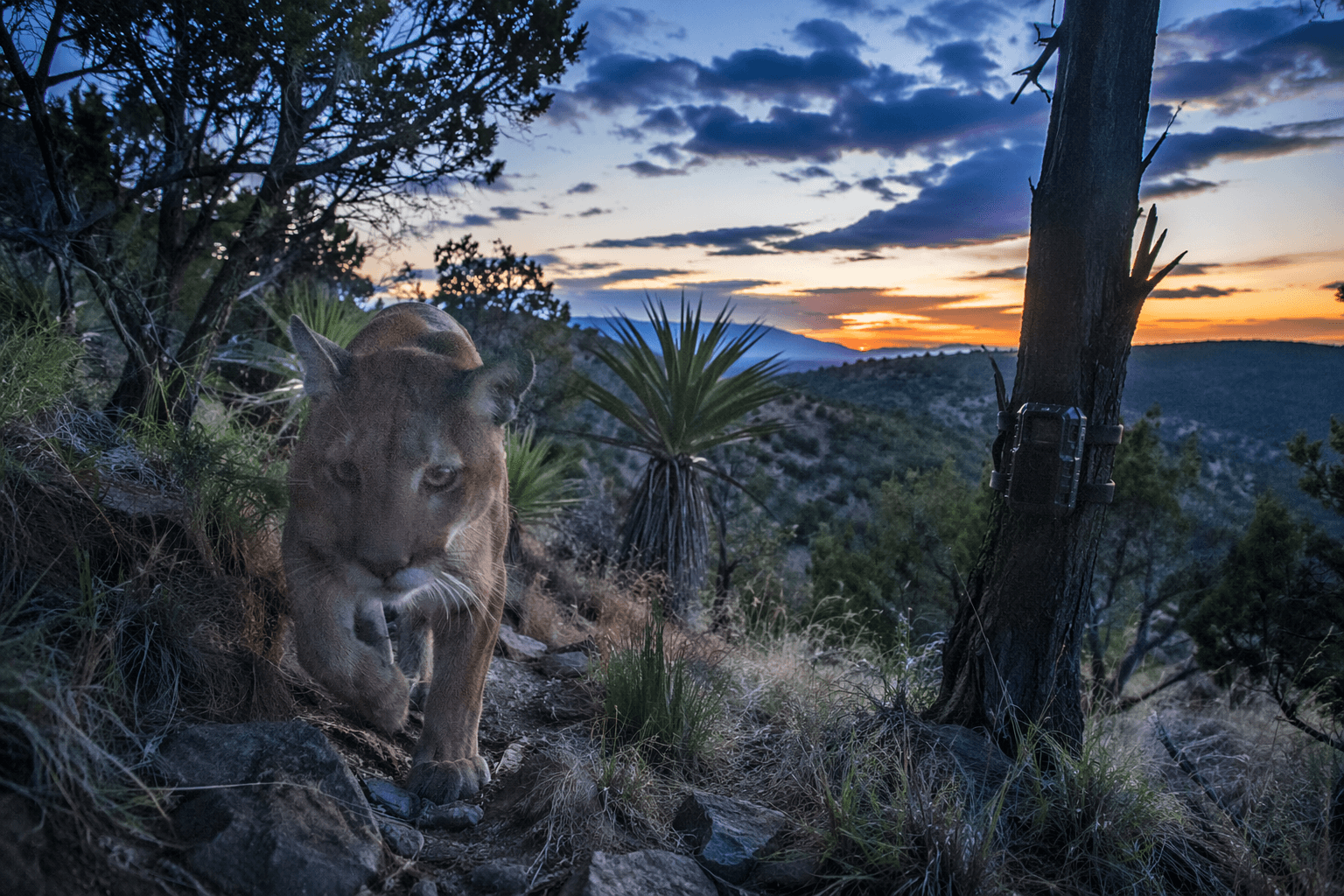
New trail camera data from 59 sites shows the Arizona Trail is shared by more than 25 mammal species and heavy human traffic, forcing smarter trip planning now.
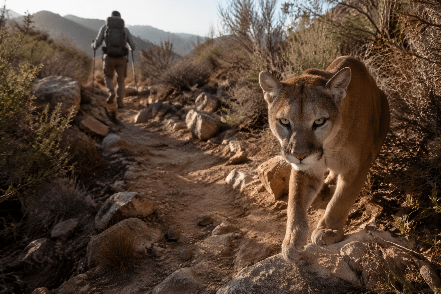
Hikers, bikers, and equestrians on the Arizona Trail now have a clearer reason to slow down, make less noise, and think harder about where they camp. A new wildlife and recreation report, built from 59 camera traps placed along the Arizona National Scenic Trail, recorded more than 5,400 images of 25 mammal species and more than 40,000 images of people moving through the corridor.
The Arizona Trail Association released the final report on May 28, 2026, after a study that ran from 2017 through 2023 with Arizona State University. The project gives trail users a rare statewide look at how recreation and wildlife overlap across the 800-mile non-motorized route that runs from Mexico to Utah through deserts, mountains, canyons, forests, history, communities and people.
That matters on the ground because the report does more than count cameras and animals. It examines methodology, camera locations, species diversity and richness, activity patterns, recreational uses, pet activity and cattle occurrence, creating a practical baseline for anyone planning a thru-hike, section hike, bikepacking trip or wildlife-focused day hike. For trip planning, the message is straightforward: the Arizona Trail is busy enough that your timing, group size, noise level, yielding habits and campsite choice all shape the experience for wildlife and for other users.
The Arizona Trail Association says its mission is to protect, maintain, enhance, promote and sustain the trail as a unique encounter with the natural environment. That mission now has a deeper data set behind it, and the report should help trail stewards, volunteer crews and land managers think more clearly about disturbance, seasonal use and the places where recreation pressure and habitat overlap.
The wider management picture lines up with that approach. The U.S. Forest Service’s Arizona National Scenic Trail land-and-resources guidance includes wildlife, recreation setting, visitor experience and sustainable recreation access. Arizona’s Wildlife Action Plan also draws on input from resource professionals, federal and state agencies, sportsmen groups, conservation organizations, Native American tribes, recreational groups, local governments and citizens.
Heather Bateman, whose Arizona State University profile focuses on how human land use affects vertebrate populations and habitats, fits squarely into that conversation. Her work underscores why trail cameras matter: they help show where wildlife still moves through a landscape that also carries thousands of hikers, mountain bikers and equestrians.
For anyone heading onto the AZT now, the takeaway is immediate. This is not just a route to complete; it is a shared corridor where the best trips are the ones that leave the lightest footprint.
This article was produced by Prism’s automated news system from verified source data, official records, and press releases, then run through automated quality and moderation checks before publishing. The system is built and supervised by the people who set the standards it runs under. Read our full AI policy.
Did this article answer your question?


