Bryce Canyon begins final path segment to connect Red Canyon route
Bryce Canyon’s final 2.3-mile path segment started, closing the last gap in a 22-mile car-light corridor while Bryce Point Road work slowed summer access.

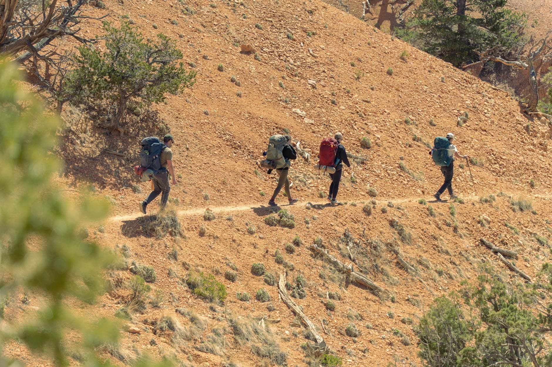
Bryce Canyon National Park began the final stretch of its 22-mile shared-use path, a project that will soon link Bryce Canyon City with Red Canyon on the Dixie National Forest and give visitors a continuous car-light route through the park. The last 2.3-mile segment is the piece that completes the system most riders already know as the Canyon 2 Canyon bike trail, and it changes the practical travel picture inside Bryce Canyon this season.
Most of the work followed Bryce Point Road and was scheduled to last about five months, with construction hours set for Monday through Friday from 8 a.m. to 6 p.m. Park officials said visitors should expect flagging operations, periodic slowdowns, and temporary delays where construction equipment shares the roadway. For families, cyclists, and RV travelers trying to move between Bryce Canyon City, Bryce Amphitheater, and the park’s overlooks, the message was clear: shuttle timing and parking decisions mattered more once the work zone tightened the corridor.

Bicycles were not allowed on Bryce Point Road during construction for safety reasons, which forced riders to rethink how they reached one of the park’s signature viewpoints. Bryce Point remained accessible on foot through the Rim Trail, Bryce Connector, and the Under the Rim Trail, but the roadway itself was reserved for the project. The existing shared-use path stayed open from Red Canyon through Bryce Canyon City to Inspiration Point, preserving a key alternative for visitors who wanted to avoid driving into the busiest sections of the park.
The National Park Service said the project was designed to improve safety, accessibility, congestion management, and alternative transportation. That goal has been years in the making: most of the path was built in 2016, Bryce Canyon launched its alternative transportation system in 2000, and planning documents show why the final connection matters. One filing cited a 30% rise in visitation between 2008 and 2012, while another noted the park first topped 1 million visitors in 1992 and later exceeded 1.2 million in 1996 and again from 2009 through 2013. Park planners said nearly a million people a year already use the shuttle and shared-use path combined, a figure that shows how much this final segment will matter once the last gap is closed.
For Bryce visitors, the payoff is bigger than a finished trail map. The corridor will eventually offer a full 22.0-mile route that ties together the park, Bryce Canyon City, and Red Canyon, but this summer the tradeoff is construction around Bryce Point Road and fewer biking options there. The finish line is in sight, and the route that has long carried shuttle riders, walkers, and cyclists is finally becoming whole.
This article was produced by Prism’s automated news system from verified source data, official records, and press releases, then run through automated quality and moderation checks before publishing. The system is built and supervised by the people who set the standards it runs under. Read our full AI policy.
Did this article answer your question?


