Lightning-caused fire near Santa Fe prompts restrictions in national forest
Lightning ignited multiple fires across Santa Fe National Forest, with the Rio Fire growing to 184 acres and smoke visible from the foothills and I-25.
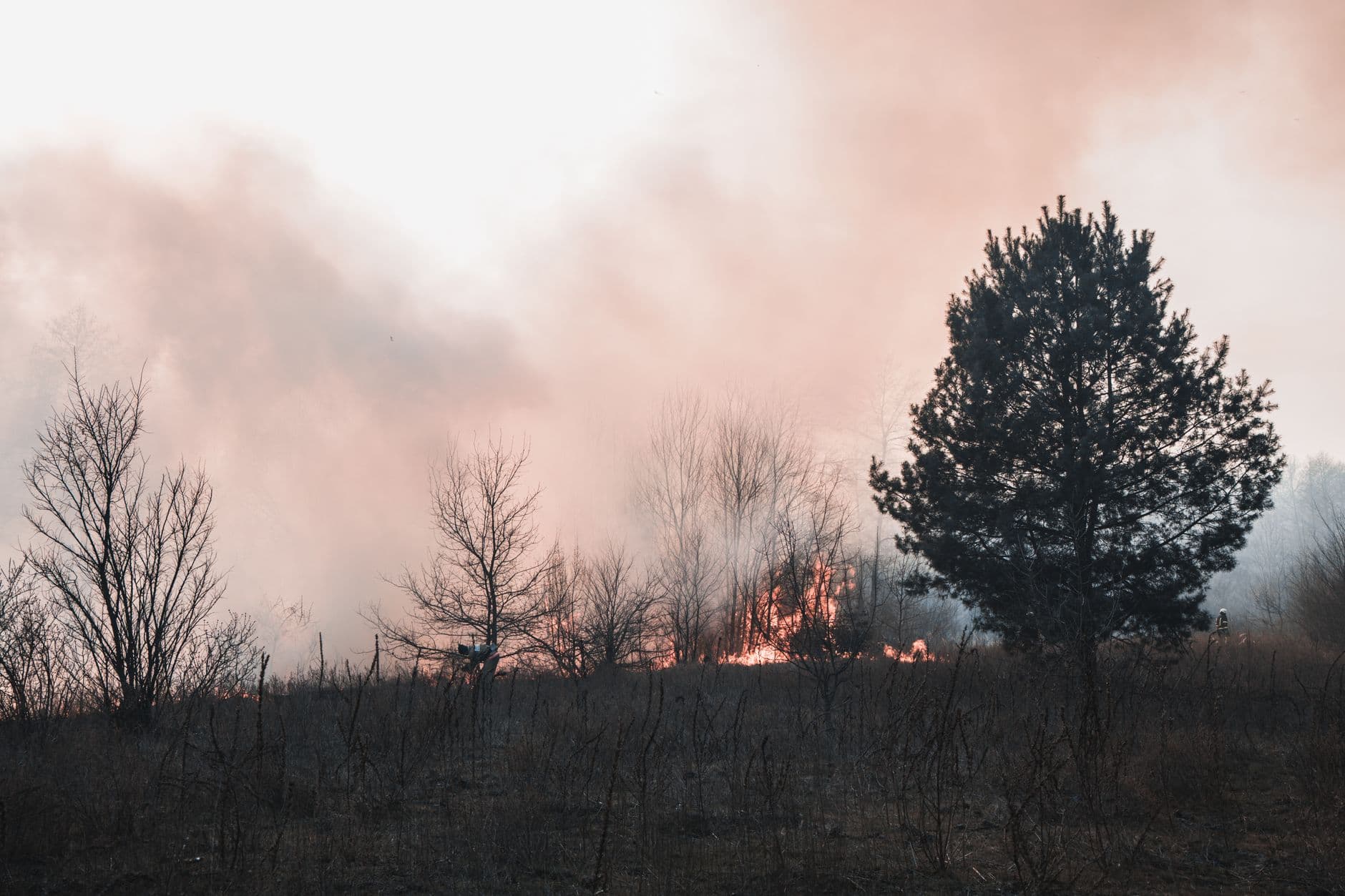
Lightning and dry fuels turned Santa Fe National Forest into a fast-changing trip-planning zone, with multiple fires breaking out after a thunderstorm crossed Northern New Mexico on June 15. The forest was already under forest-wide Stage 1 Fire Restrictions from April 2 through September 30, and managers responded to every new start with full suppression and direct extinguishment. For hikers, campers, and scenic drivers, that meant smoke, access limits, and the chance of rapid restriction changes across the high country around Santa Fe and beyond.
The most immediate concern for visitors near the city was the Pelada Fire in the Pecos-Las Vegas Ranger District, six miles east of Santa Fe on Forest Road 79 and three miles north of Canada de Los Alamos. It was first spotted the evening of June 16, when it was estimated at four to five acres and creeping through fuels with 2- to 4-foot flame lengths. By the next update, crews had stopped its forward progress, built a fire line around the perimeter, and held it at 4.9 acres with about 30 personnel on scene, including one hotshot crew, two fire engines, and an ambulance. Smoke was expected to show up in the Santa Fe foothills, Canada de Los Alamos, and along Interstate 25 near Arroyo Hondo.


The larger problem was the Rio Fire on Mesa De La Gallina, three miles northeast of Chicoma Mountain. It started in rocky country loaded with dead-and-down fuels, ponderosa pine, and brush, then grew from about 5 to 10 acres to 128 acres by June 17 as red flag conditions, limited safe access, and heavy fuels pushed the fire harder. On June 18 it remained 0% contained, and the Northern New Mexico Type 3 Incident Management Team was ordered in after operational complexity increased. The fire reached 166 acres on June 19 and 184 acres by June 21, when 167 personnel and four Interagency Hotshot Crews were assigned. A Red Flag Warning covered the forest from noon to 9 p.m. on June 17.

Air support was moving almost as fast as the ground crews. Type 1 helicopters, Air Attack, air tankers, and the local Type 3 helicopter cycled between the Rio Fire and refueling points in Santa Fe, Los Alamos, Española, and Abiquiu Lake. Forest officials have also pointed visitors to current fire, smoke, road, and weather information before heading out, a reminder that summer plans in this forest can shift quickly once lightning, wind, and dry timber line up. For anyone headed into the Pecos corridor, the Santa Fe foothills, or the back roads north of the city, the signal is clear: watch the smoke, watch the wind, and be ready to pivot before the next update changes the route.
This article was produced by Prism’s automated news system from verified source data, official records, and press releases, then run through automated quality and moderation checks before publishing. The system is built and supervised by the people who set the standards it runs under. Read our full AI policy.
Did this article answer your question?


