Moab planning commission weighs zoning changes shaping recreation access
A 235-acre rezone above Moab could reshape traffic, lodging, and trail access near Sand Flats long before visitors notice the first change.

Moab’s next trip-shaping decisions are already on the table
The biggest thing to watch in Moab right now is not a road closure or a trail sign, it is zoning. A 235-acre rezone above town could eventually change where people sleep, drive, and launch their recreation days around Sand Flats, Slickrock, and Hell’s Revenge.
That is why the Grand County Planning Commission has become essential reading for anyone planning a future trip here. Its meetings, held at 5:30 p.m. on the 2nd and 4th Monday of each month in the Grand County Commission Chambers at 125 E. Center St. in Moab, are where the long fuse gets lit on changes that may not show up in the travel experience for months or years.
The Steen parcel is the one with the biggest traveler consequences
The most consequential item in play is the Steen property, a 235.23-acre parcel owned by Minnie Lee Ventures LLC, the Steen family entity tied to Ashley Steen, a descendant of Moab uranium boom figure Charlie Steen. The request would change the land from Range and Grazing to Resort Commercial, and county planning staff said it fits the Future Land Use Plan for Spanish Valley.
That zoning label matters because Resort Commercial can allow up to five residential units per acre, which works out to about 1,175 units at full buildout on the full parcel. No one is saying that density is coming tomorrow, but the point of a zoning decision is that it creates the legal path for what can come later. For visitors, that means the real impact could be more beds, more traffic, more pressure on access roads, and a different edge to the recreation corridor south of town.
The public hearing on this rezone drew sharp resistance. About 20 speakers opposed the request at the April 7 Grand County Commission hearing, and no one other than the applicant spoke in favor. The hearing stayed open through April 15, and the county did not vote on April 21 because the applicant asked for a postponement.
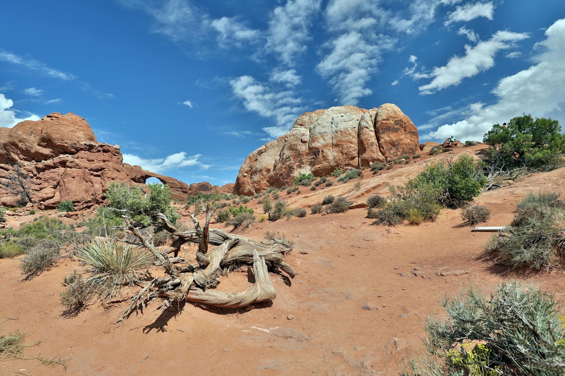
Why Sand Flats people are paying attention first
This is not just a planning fight about abstract growth. The parcel sits above Moab near the Sand Flats Recreation Area and the Slickrock and Hell’s Revenge trail area, which is exactly why the proposal is landing so hard with the people who know this landscape best.
The Sand Flats Stewardship Committee formally recommended denial, and Andrea Brand, who chairs the committee and directs Sand Flats Recreation Area, gave the kind of numbers that make the stakes impossible to ignore: Sand Flats draws more than 250,000 visitors annually, generates more than $25 million in economic activity, and supports 99 businesses operating under BLM permits. Those figures explain why even a single rezoning can feel like a front-country issue for the entire adventure economy.
The City of Moab also weighed in with a formal April 15 letter urging Grand County to deny the rezone. The city said its concerns include annexation, municipal services, and possible drinking-water contamination, and it pushed back on the idea that Moab is uninterested in annexation. City leaders said they are willing to consider annexing unincorporated parcels identified in the annexation policy plan if service and legal requirements can be met.
The city also said the applicant’s stated goals include a guided rappel course, a food truck, a climbing zone, and an OHV event space. That mix tells you what kind of place is being envisioned: not just a subdivision, but a recreation-oriented development that could change the feel of the corridor well before any full buildout arrives.
The atmosphere at the meeting says a lot about Moab
One of the clearest signs that this is a community living inside its recreation economy is the way the planning conversations themselves sound. Transcript excerpts from the April 27 planning commission summary included talk about trail racing, packet pickup, and changing trail classifications. That is not the language of a sleepy county board. It is the language of a place where land-use decisions and outdoor culture are locked together.
The commission also moved a Sims zoning map amendment forward on a 6-1 vote, another reminder that map-level choices can quietly determine where visitor-serving uses, lodging, and access patterns land over time. These are the kinds of decisions that do not create an immediate closure, but can shape where the next cluster of parking pressure, commercial activity, or trailhead spillover shows up.
Public frustration around the Steen case went beyond the parcel itself. Comments also raised objections about how the commission handled the property and broader concerns about conflict-of-interest rules and decision-making transparency. In a town where every parking slot and trail connection matters, process is part of the trip experience too, because opaque decisions tend to create the biggest surprises.
The warning from Kane Creek is still hanging over the room
Opponents kept reaching for history, and not without reason. They pointed to a 1992 Grand County rezoning near Kane Creek that was originally understood as a 10-acre campground and later became the basis for a much larger residential proposal. That example is why longtime Moab watchers treat zoning as a promise with a very long tail.
It is also why the current debate is being watched so closely by neighbors like McKay Edwards of Moab Springs Ranch, who said he was notified only days before the hearing. When people feel late to the conversation, distrust deepens fast, especially in a gateway community where development decisions can ripple into congestion, access, and the visitor experience for years.
What to watch next
The practical question for travelers is simple: if the Steen rezone or a similar map amendment moves ahead, what changes first? Usually it is not a dramatic headline. It is the slow build of new commercial pressure, more demand for roads and services, and the possibility that future lodging or recreation businesses cluster closer to the routes people already use to reach the desert.
That is why this planning cycle matters now, not later. Moab’s commissioners, chaired by Jerry Klaes with Megan Schafer as vice chair and members Aaron Lindberg, Mary Hofhine, Robert O'Brien, Randy Day, and Sara Kimmerle, are shaping the boundaries of what recreation access will look like when the next wave of visitors arrives. In Moab, the future of a trip often gets decided long before the trailhead ever changes.
This article was produced by Prism’s automated news system from verified source data, official records, and press releases, then run through automated quality and moderation checks before publishing. The system is built and supervised by the people who set the standards it runs under. Read our full AI policy.
Did this article answer your question?


