Adams County guide maps 22 nature trails, 4 fitness trails
Adams County’s trail guide packs 22 nature trails and 4 fitness trails into one map-based planner for family walks, workouts and scenic outings.
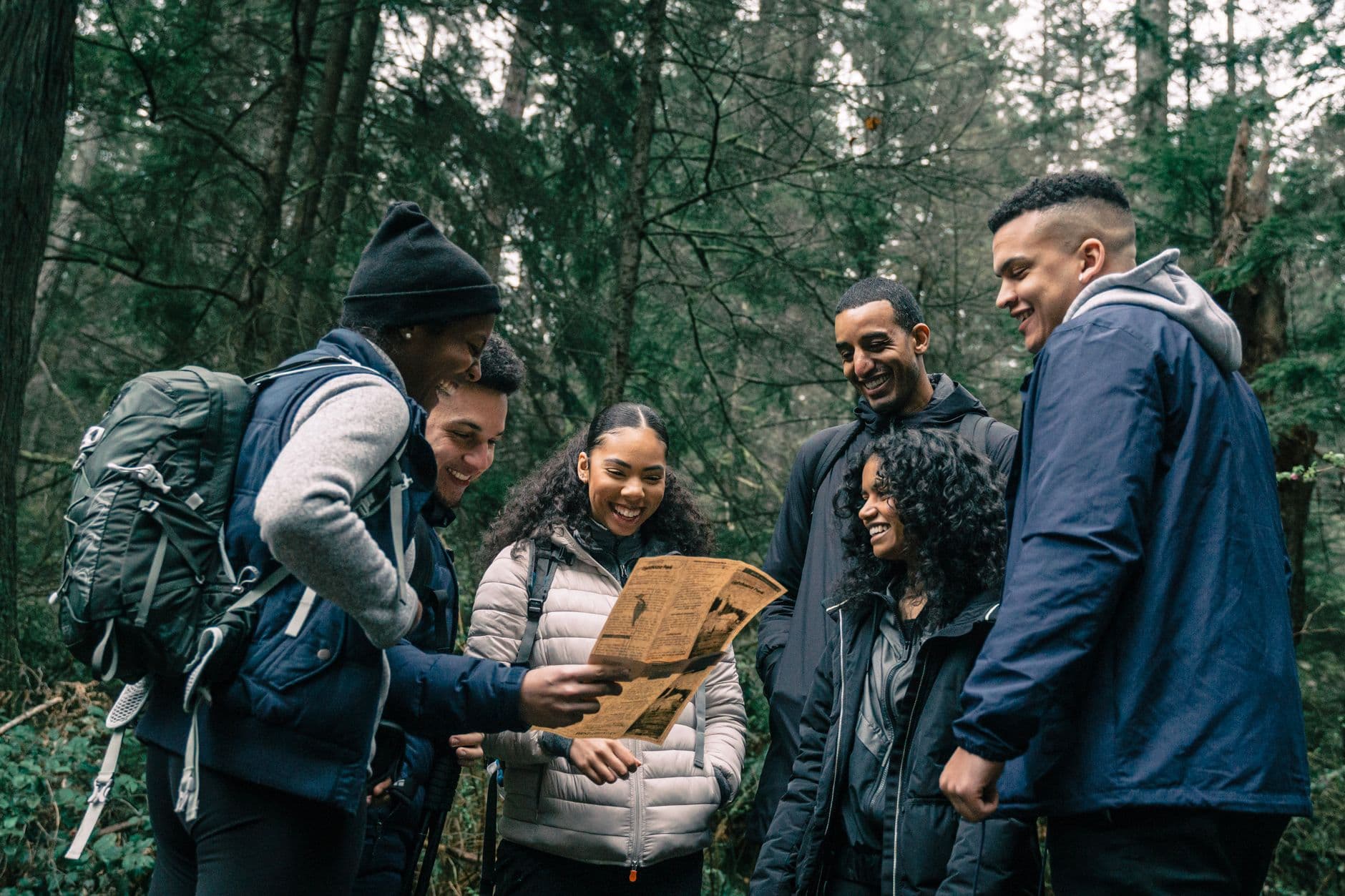
The best way to see Adams County on foot is through its trail map, not by hunting for one perfect trail. The Hiker’s Guide to Adams County, Ohio gathers 22 nature trails and 4 fitness trails into a single planning tool, with maps, coordinates and other details that make an outing easier to choose before you leave home.
How the guide is built
Produced by The Nature Conservancy in partnership with Leadership Adams, the guide is designed around public hiking trails across the county. Its own language calls Adams County a “patchwork of history and nature,” and that phrase fits the format as much as the place: the brochure is less a glossy overview than a working map for people who want to get outside with a purpose.
That matters because the guide does more than name destinations. It gives trail maps, coordinates and planning information in one place, which makes it useful for comparing where a hike starts, how it fits into a day, and how much ground it covers. The fold-out map of nearby Shawnee State Park gives the brochure another layer of utility, especially for anyone trying to connect one outing with a larger county trip.
Choosing the right walk
The guide’s biggest strength is that it helps match the trail to the reason for going. Families can use it to look for easier walks and shorter outings, while more committed hikers can compare trail length, terrain and access points before choosing a route. The four fitness trails give the county a separate set of options for people who want a walk that functions more like a workout than a sightseeing stop.
That makes the brochure useful for everyday decisions, not just weekend adventures. If the plan starts in West Union, Peebles, Seaman or Manchester, the guide offers a way to choose a nearby public trail without piecing together directions from scattered flyers or word-of-mouth tips. The result is practical: instead of seeing Adams County only from the car window, you can use the map to decide where to step onto the ground.
What the county’s landscape adds
Adams County’s outdoor draw is bigger than any single trailhead. In a 2020 post promoting the forthcoming guide, the Adams County Travel & Visitors Bureau said the county had “36,000 + acres set aside for nature conservation,” a figure that helps explain why the trail network feels so wide-ranging. Hills, forests, prairies and river-country scenery all sit within that larger conservation footprint, giving the guide a landscape that changes as you move from one section of the county to another.
The Edge of Appalachia Preserve System is part of that story. The Nature Conservancy identifies the preserve system as being in Adams County, and that connection places the guide inside one of the region’s most recognizable protected landscapes. The county’s outdoor identity is not just local pride, either: the Buckeye Trail Association highlighted Adams County destinations in a summer 2022 issue of The Trailblazer, naming Serpent Mound, Shawnee State Forest and the Edge of Appalachia Preserve as must-see sites along the Buckeye Trail.
Why the guide works as a countywide planner
The guide is strongest when it is used as a decision tool, not simply as a list. Adams County already shows up in broader trail directories such as TrekOhio, which groups parks and preserves managed by federal, state, county and nonprofit agencies, and HiiKER, which shows a cluster of hikes in the county. That wider listing helps confirm what the guide makes obvious: Adams County has enough trail country to justify a countywide brochure that keeps all the options in one place.
Adams County Travel & Visitors Bureau still maintains an outdoors page, which keeps hiking part of the county’s tourism identity. The guide fits that effort by translating conservation into something a visitor or resident can actually use on a Saturday morning. Rather than sending people on a hunt for separate maps and separate trail notes, it packages the county’s public hiking trails into a single field guide.
A landscape with a future
The trail network is also part of a broader public push to connect conservation with community development. In January 2026, Adams County public and nonprofit leaders launched a new partnership to leverage the region’s natural assets, reflect its heritage and promote a more sustainable future. That kind of planning gives the trail guide added relevance, because it shows that the county’s outdoor spaces are being treated as part of its long-term civic identity, not just as scenery.
The guide’s back-cover support from local organizations reinforces that point, as does the continued attention from conservation and trail groups. Adams County’s public hiking places are already recognized across the region, and the brochure gives them a practical frame for residents who want a short fitness walk, a family outing, or a scenic drive that ends on foot. In a county with tens of thousands of conserved acres, the guide does the essential work of turning landscape into a plan.
This article was produced by Prism’s automated news system from verified source data, official records, and press releases, then run through automated quality and moderation checks before publishing. The system is built and supervised by the people who set the standards it runs under. Read our full AI policy.
Did this article answer your question?