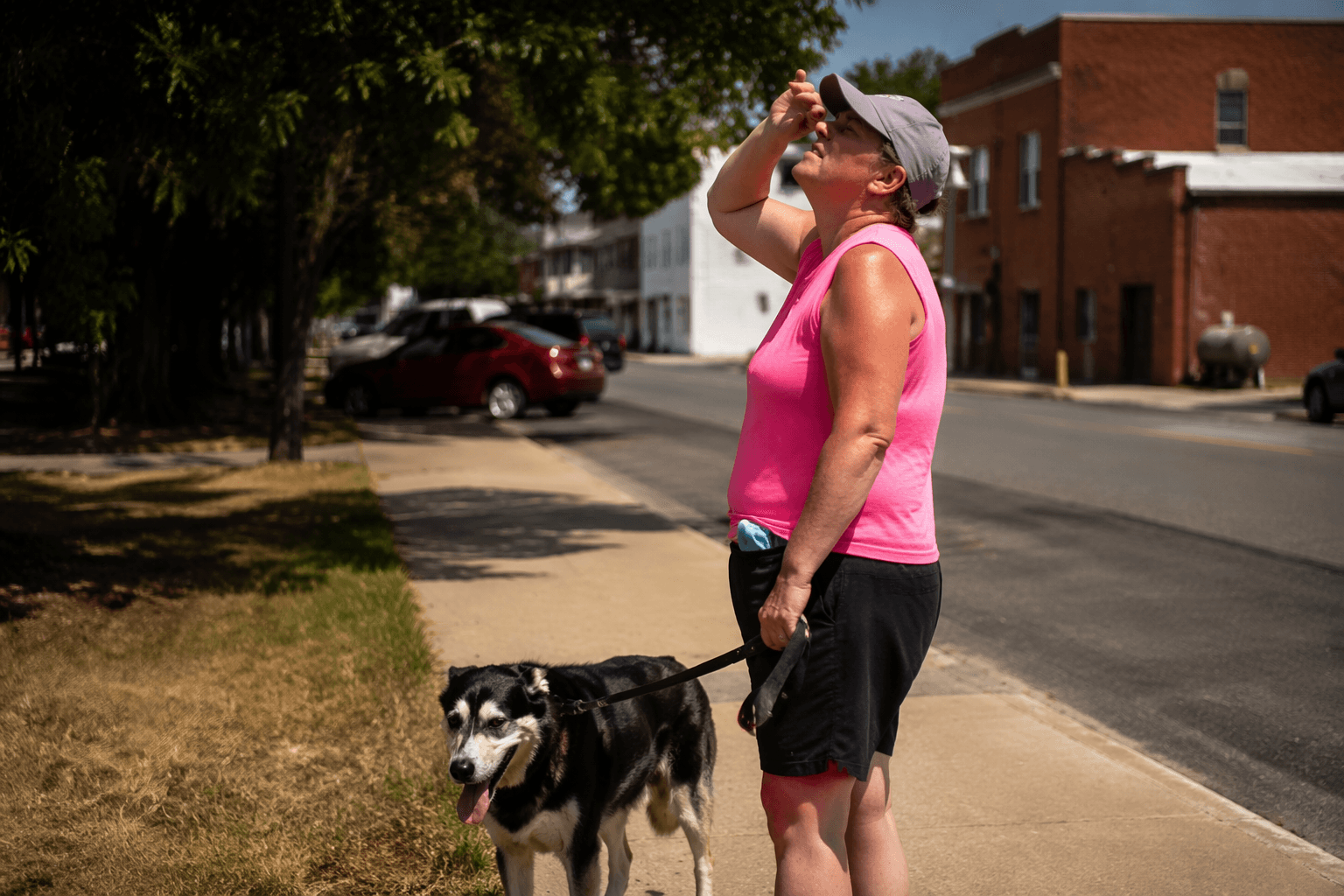
Adams County paddling guide maps Ohio Brush Creek access points
Ohio Brush Creek has clear put-ins, a beginner-friendly 3-mile float, and full-service ramp amenities that make a weekend paddle simple.
The three-mile run from the State Route 125 bridge to Creek’s Bend is the cleanest first float on Ohio Brush Creek, a 59.9-mile tributary that drains about 435 square miles and runs south past Serpent Mound before meeting the Ohio River about 4 miles west of Rome. Short enough to fit a half-day, it is simple to shuttle without turning the outing into a logistics project.
Where to put in and take out
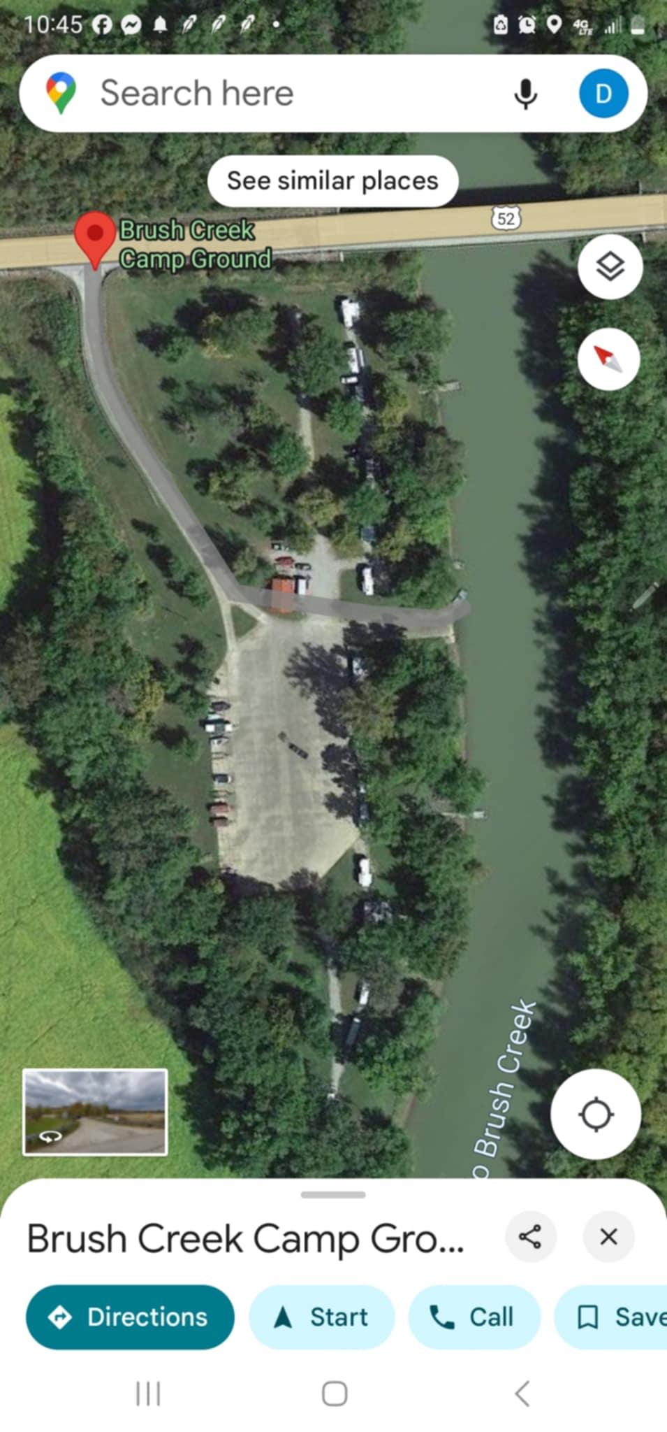
The most service-heavy launch in the county is Brush Creek Boat Ramp and Campground at the mouth of Brush Creek on the Ohio River near Manchester. It offers unlimited boating, along with a launch ramp fee, camping, island access, food, bait, picnic areas, showers, overnight docking and fuel, with the season running from April through September when weather and river conditions permit. If you want a base camp that can handle a full day on the water, this is the stop that gives you the most margin.
For Brush Creek itself, the county’s most practical midstream access is Creek’s Bend on Waggoner Riffle Road, about 7 miles east of West Union. The site has parking, restrooms, a canoe launch, a picnic area, a pavilion, a stone overlook and a maintained path to the creek; access is for paddle craft only. Mackenzie Run Boat Ramp sits on the same road system, at 653 Waggoner Riffle Road, with trailer parking, a concrete ramp to lower Brush Creek and night lighting, which makes it the better choice if you are hauling a trailer or need an easier evening pickup.
Adams County also has a useful set of bridge and river access points that matter when you are building a shuttle. Public access on Ohio Brush Creek is listed at State Route 73, Serpent Mound, State Route 348 and State Route 125, while county boat ramps on the Ohio River are at Manchester, Island Creek and the mouth of Ohio Brush Creek. MoonDoggie Canoe and Kayak Rental on Brush Creek Road in Manchester gives you a local rental option if you are not bringing your own boats.
Best for beginners
If you want the least intimidating run, start at the State Route 125 bridge and pull out at Creek’s Bend. At the National Park Service’s 2 mph planning pace, the moving time works out to about 90 minutes before you factor in shuttle time, launch prep and any stop at the takeout. That makes it a realistic half-day outing for first-timers, families and anyone who wants to spend more time on the creek than on the road.
Creek’s Bend is also the smartest beginner stop because it keeps the logistics simple. You have parking on site, a place to use the restroom, a dedicated canoe launch and a picnic area, and the preserve setting makes it easier to combine the float with a walk or a lunch break without driving to a second county landmark.
Shortest, easiest trip with the least gear stress
Mackenzie Run is the cleanest answer when the question is how to move a trailer, not just a kayak. The ramp is concrete, lighted at night and built with trailer parking, which means it solves the hardest part of a river day for people bringing multiple boats or a larger group.
Brush Creek Boat Ramp and Campground is the better call if the plan includes camping or a longer river finish. Because it sits at the mouth of Brush Creek on the Ohio River, it works as a downstream destination for paddlers who want to end on bigger water, then stay close to food, fuel, showers and overnight docking. Island Creek Boat Ramp and Campground adds another Ohio River option with camping, a picnic area and access to the Ohio Islands National Wildlife Refuge.
What to know before you load the kayak
- Ohio treats canoes and kayaks as boats, so registration rules apply, along with life jacket, lights and sound-signal requirements.
- Brush Creek Boat Ramp and Campground is seasonal, and its operation runs from April through September, weather and river conditions permitting, so check conditions before you head out.
- Bridge accesses at State Route 73, Serpent Mound, State Route 348 and State Route 125 are public access points, not full-service marinas, so plan a shuttle, a takeout and a return drive before you unload.
- If you need a rental instead of your own boat, MoonDoggie Canoe and Kayak Rental sits on Brush Creek Road in Manchester, close to the lower creek and the river ramp network.
Why this creek matters beyond one paddle day
The stream has also been known as Brush Creek, Elk Creek and Little Scioto River, and its route through Adams County ties Manchester, West Union, Peebles and the Serpent Mound area into one watershed-shaped corridor.
The Serpent Mound Impact Structure in the Adams-Highland-Pike tri-county area is one of only 28 confirmed impact craters in the United States, according to ODNR, about 8 miles in diameter and formed by an asteroid or comet strike between 252 and 330 million years ago. The nearby Edge of Appalachia Preserve is privately owned and co-managed by The Cincinnati Museum Center and The Nature Conservancy of Ohio. The preserve has canoe access, trails and an overlook.
Scenic-river advisory councils represent local interests within a watershed and advise on preservation concerns, and stream quality monitoring is used to keep water quality high.
This article was produced by Prism’s automated news system from verified source data, official records, and press releases, then run through automated quality and moderation checks before publishing. The system is built and supervised by the people who set the standards it runs under. Read our full AI policy.
Did this article answer your question?