Albany County Hit by 63 mph Wind Gust, High Wind Warning Remains
A Mesonet station 14 miles west-northwest of Laramie clocked a 63 mph gust Tuesday morning, topping the warning's 60 mph forecast threshold.

A weather monitoring station 14 miles west-northwest of Laramie recorded a non-thunderstorm wind gust of 63 mph early Tuesday morning, pushing past the forecast ceiling and keeping a High Wind Warning in force across Albany County.
The gust, captured by the Wyoming Mesonet network, exceeded the warning's projected maximum of 60 mph. The National Weather Service office in Cheyenne had forecast west winds of 25 to 35 mph with gusts reaching that threshold, but the station's reading confirmed conditions ran stronger. The warning remained in effect through noon MDT Tuesday.
The South Laramie Range and its foothills, including the I-80 Summit corridor between Cheyenne and Laramie, sit at the core of the affected zone. That stretch of interstate is already one of the most wind-exposed travel corridors in southeast Wyoming, and Tuesday's gusts compounded the hazard for anyone moving through it. The National Weather Service flagged crosswinds as particularly dangerous for lightweight and high-profile vehicles, specifically calling out campers and tractor-trailers.
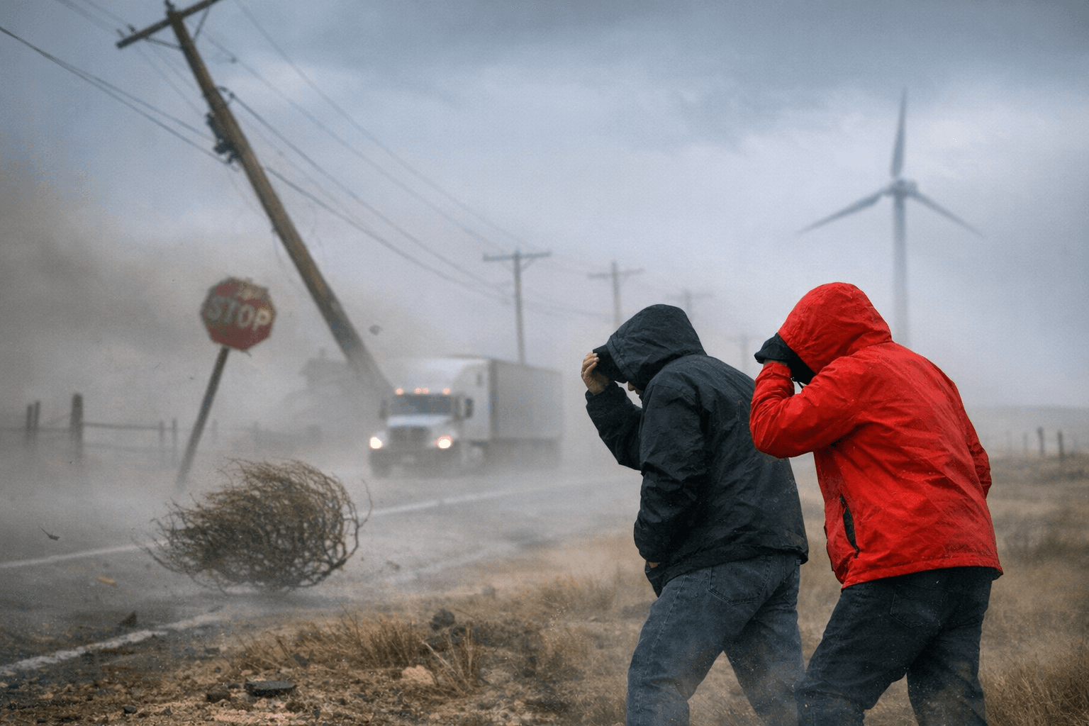
Under a High Wind Warning, sustained speeds of at least 40 mph or gusts at or above 58 mph are considered sufficient to cause property damage. Tuesday's 63 mph reading cleared that threshold by five miles per hour.
Drivers on I-80 and other exposed routes in Albany County faced the brunt of the morning conditions. The warning's noon expiration offered a window for improvement, though wind-prone terrain along the Laramie Range foothills can sustain gusty conditions well after formal advisories lift.
This article was produced by Prism’s automated news system from verified source data, official records, and press releases, then run through automated quality and moderation checks before publishing. The system is built and supervised by the people who set the standards it runs under. Read our full AI policy.
Did this article answer your question?