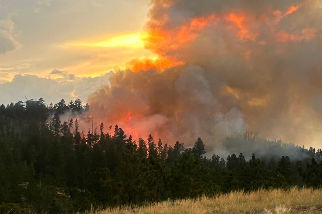
Centennial reports nearly 2 inches of rain in July storm
Centennial’s 1.97 inches of rain came with flood watches, 60 mph wind gusts and hail, putting Albany County roads and ranch country on alert.
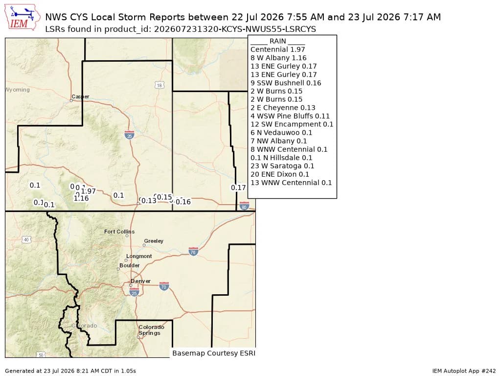
Amateur radio operators in Centennial measured 1.97 inches of rain from the July 22-23 storm, a soaking that turned a late-July weather system into a practical test for Albany County. The National Weather Service office in Cheyenne shared the rainfall reading July 23 after warning that several rounds of slow-moving, heavy rain could bring flooding across much of the area.
Albany County Emergency Management posted at 1:30 p.m. July 22 that a flood watch had been issued for much of the area through Thursday evening. Later that day, the weather service issued a severe thunderstorm warning at 5:23 p.m. MDT for southeastern Carbon County and southwestern Albany County, followed by another warning at 5:37 p.m. that placed a storm over Rob Roy Reservoir moving northeast at 10 mph with 60 mph wind gusts and nickel-size hail.

For people moving through Centennial, that combination mattered as much as the rainfall total itself. Heavy rain can quickly make gravel roads slick, cut visibility and push water across low spots, while hail and wind can turn a routine drive into a stop-and-wait situation. Around Rob Roy Reservoir and other outdoor access points near the county line, the storm also meant a sharper check on recreation plans, with the threat shifting from dry conditions to runoff, hail and lightning.
Ranch operations felt the same mix of short-term benefit and immediate nuisance. Nearly 2 inches of moisture can help dry pasture and knock down surface dust, but wind gusts and hail can complicate evening work, fence checks and moving equipment across wet ground. The storm may have offered some temporary relief to dry grasses, but the flood watch showed that Albany County was dealing with water movement and fast-changing weather, not just a welcome rain.
The Cheyenne forecast office, which serves southeast Wyoming and the western Nebraska Panhandle, traces its history to a U.S. Signal Service office established in 1870. Its historical pages include the Aug. 1, 1985 Cheyenne flood, the July 16, 1979 Cheyenne tornado and the July 6, 2019 Bosler tornado statement, reminders that summer storms in this part of Wyoming can bring flooding, hail and wind as quickly as they bring needed moisture.
This article was produced by Prism’s automated news system from verified source data, official records, and press releases, then run through automated quality and moderation checks before publishing. The system is built and supervised by the people who set the standards it runs under. Read our full AI policy.
Did this article answer your question?