Laramie City Council met to consider zoning and land use amendments
The Laramie City Council met on November 18, 2025 and reviewed a package of land use and zoning items that could reshape parcels near Snowy Range Road and the Laramie River, alongside routine acknowledgements and advisory reappointments. The agenda signaled significant policy and planning choices, and provided residents with staff reports, technical memos, and multiple ways to participate in deliberations.

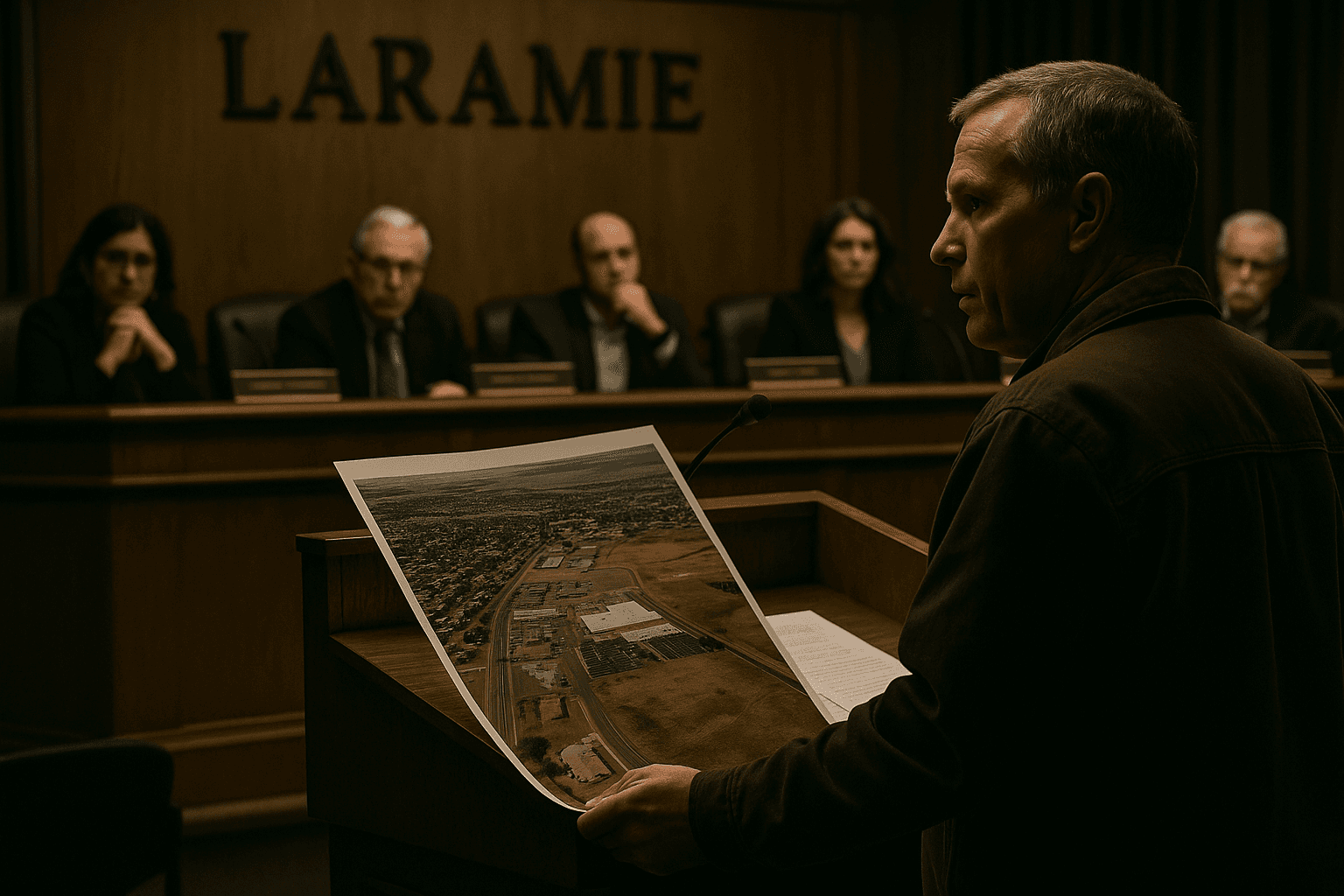
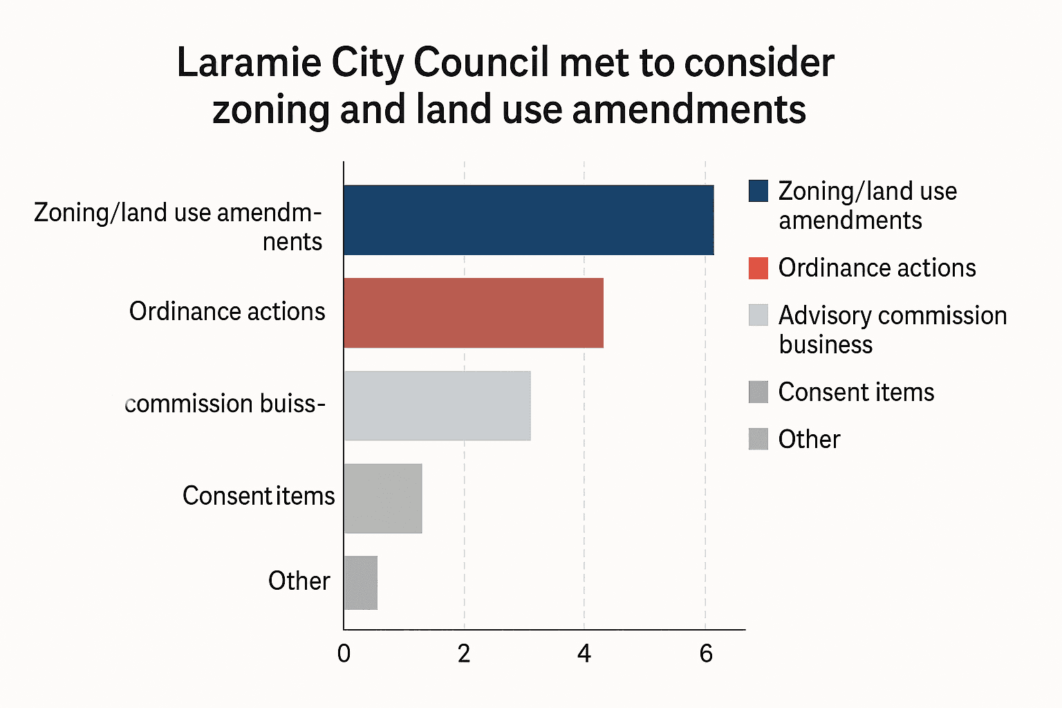
The City of Laramie City Council met Tuesday, November 18, 2025 in Council Chambers with an agenda concentrating on land use and zoning changes, routine consent items, and advisory commission business. Key items on the agenda included Resolution 2025 87 seeking certification of a request to amend the Future Land Use Map of the 2007 Laramie Comprehensive Plan, and Original Ordinance No. 2112 scheduled for its third and final reading to amend the city s Official Zoning Map.
Ordinance No. 2112 targeted two parcels located between Snowy Range Road, West Garfield Street, and the Laramie River, proposing a zoning change from I2 Industrial to R3 Multi Family. Planning staff prepared summaries and technical memos that were linked on the agenda, and planning commission resolutions and staff reports were provided to inform council deliberations. Those documents were available to the public on the city s agenda portal.
Council business also included routine consent agenda items such as minutes and acknowledgements, several minutes acknowledgements from the Laramie Regional Airport Joint Powers Board and the Laramie Youth Council, and reappointments to advisory commissions. The agenda specified pre council meeting times, public comment procedures, and instructions for requesting speaking time, as well as remote access options including YouTube live and Zoom for residents who wished to observe or participate.
For Albany County residents, the land use map amendment and the zoning change carry policy implications for housing density, the availability of industrial land, and long term planning consistency with the 2007 Comprehensive Plan. The presence of staff reports, ordinance text, planning commission recommendations, and technical memos provided an evidentiary basis for council decisions and gave the public materials to review before and after the meeting.
Residents seeking to follow up can consult the documents linked on the city agenda for detailed analysis and procedural contacts. The agenda underscored the institutional channels available for civic engagement and the role of council votes in shaping development outcomes near Snowy Range Road and the Laramie River.
This article was produced by Prism’s automated news system from verified source data, official records, and press releases, then run through automated quality and moderation checks before publishing. The system is built and supervised by the people who set the standards it runs under. Read our full AI policy.
Did this article answer your question?
