Laramie Regional Airport (LAR) Guide: Facilities, Flights and Weather Tips
Laramie Regional Airport links Albany County to regional carriers and general aviation; travelers should confirm schedules and plan for high-elevation winter weather.
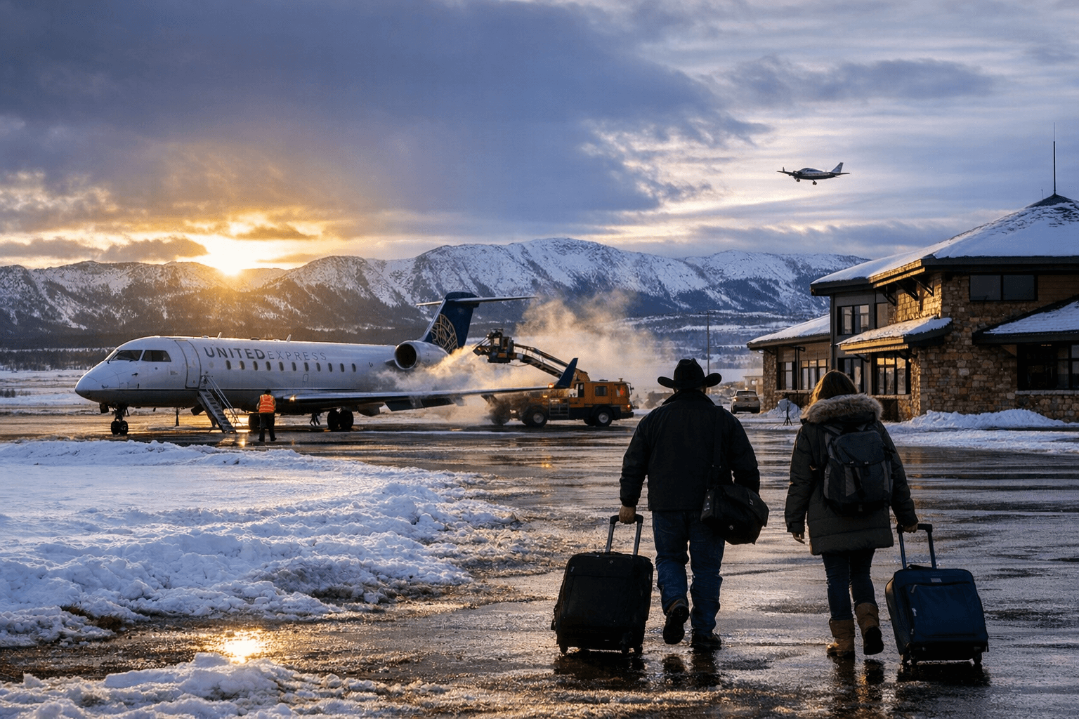
Laramie Regional Airport (LAR / KLAR) sits about 3 miles west of downtown Laramie and operates at roughly 7,283 feet elevation, making it a key transport node for Albany County residents, businesses and visitors. The field supports a mix of general aviation, corporate jets and seasonal commercial service, so last-mile connectivity and weather resilience matter to local commuters and the broader local economy.
The airport has two grooved asphalt runways suitable for most operations. Runway 3/21 measures about 8,503 by 150 feet and is equipped with runway lighting and PAPI approach guidance. Runway 12/30 is approximately 6,301 by 100 feet. Fuel services include 100LL and Jet-A, and the field offers tie-downs and hangar parking. Airport rescue and firefighting capabilities and other FAA-listed services are maintained; pilots and operators should consult FAA and AirNav listings for the current ARFF index and services before flight.
Commercial connectivity is provided by regional and commuter carriers with schedules that vary seasonally. That variability carries local market implications: businesses relying on face-to-face meetings or time-sensitive shipments should budget extra time and contingency plans when booking travel, and tourism-dependent operations must factor in potential schedule changes during peak winter months. High-elevation operations also affect aircraft performance, often increasing fuel burn and limiting payloads on hot or thin-air days, which can translate into higher operating costs for carriers and, by extension, pressure on fares and service frequency over time.
Winter weather is the chief operational challenge for Albany County travelers. Snow, strong winds and occasional icing can affect scheduled flights and general aviation alike. Travelers and pilots should check NOTAMs, TAF and METAR reports as well as the airport’s NOTAM feed for last-minute changes. Ground access relies on I-80 and state highways; WYDOT route condition reports and local road updates are essential for safe access when storms arrive.
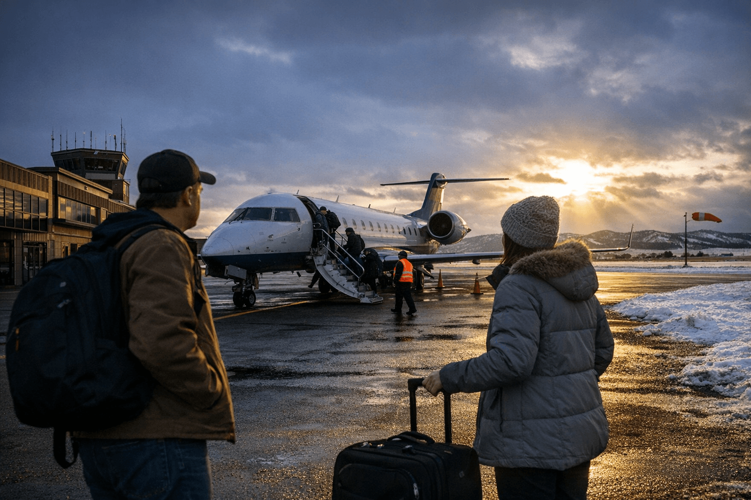
Practical advice for local travelers: confirm reservations and check-in policies with your carrier before departing, as regional schedules can change quickly. During winter, arrive earlier than normal to allow for de-icing, clearing and slower road conditions. Aviation professionals should review official instrument approach procedures and current NOTAMs before filing flight plans.
For Albany County, Laramie Regional Airport is more than a runway; it is an economic link that supports jobs, healthcare access and regional mobility. Expect seasonal service patterns to persist and plan accordingly, monitor weather and airline communications so your next trip north or south of the Laramie Hills goes as smoothly as possible.
This article was produced by Prism’s automated news system from verified source data, official records, and press releases, then run through automated quality and moderation checks before publishing. The system is built and supervised by the people who set the standards it runs under. Read our full AI policy.
Did this article answer your question?