NWS Issues Wind, Hail Warning for Albany County Until 5 PM
Gusts hitting 55 mph put I-80 and US-287 travelers at risk Saturday as NWS Cheyenne warned of wind and pea-sized hail across Albany County until 5 PM.
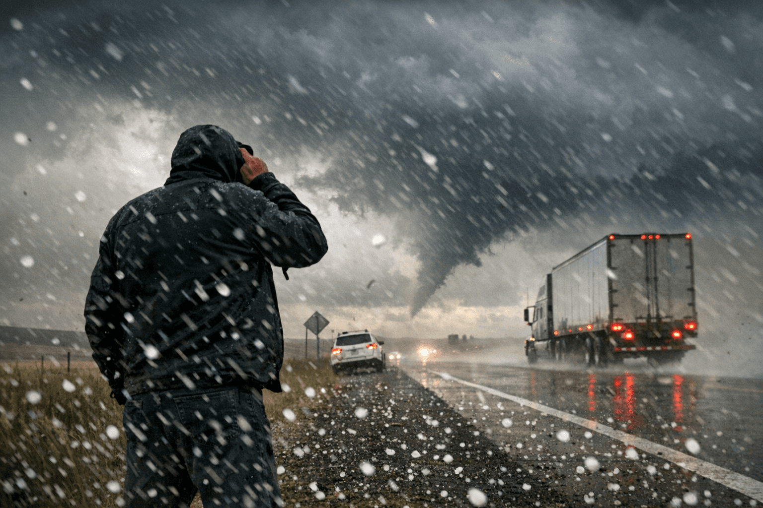
Wind gusts of 55 mph, briefly spiking to near 60, swept through the I-80 and US-287 corridors Saturday afternoon as NWS Cheyenne's Special Weather Statement put Albany County under an elevated hazard window through 5 PM MDT.
High-profile vehicles on both interstates faced the sharpest risk. At Laramie's 7,165-foot elevation, one of the highest of any U.S. city, wind events amplify fast; gusts that might be manageable elsewhere become a genuine hazard for semi-trailers and RVs navigating mountain-adjacent highway grades. The Laramie Valley, classified by NWS as zone WYZ115, is one of Wyoming's best-documented wind corridors, where gusts above 45 mph are routine and 60-mph events are on record.
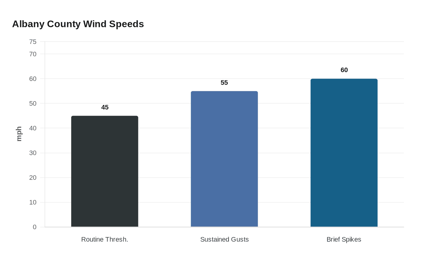
The radar-indicated statement warned of three concurrent hazards: sustained gusts between 50 and 55 mph, brief spikes near 60 mph, and small hail up to pea-sized at roughly 0.25 inches in diameter. The alert covered Central Laramie County, the Laramie Range, and Albany County, stretching through the afternoon commute and school pickup window.
NWS Cheyenne's impact language warned that gusty winds could knock down tree limbs and blow around unsecured objects, with travel difficulties likely on affected corridors. Construction crews and anyone camping near the Laramie Range fell squarely within the hazard window.
Albany County EMA urged residents to monitor conditions through Albany County Alerts, NOAA Weather Radio, or a weather app. Those in campgrounds or exposed outdoor spaces were advised to move into sturdy shelter until conditions cleared.
Saturday's event followed a familiar regional pattern. In February 2025, NWS Cheyenne issued a High Wind Warning for Laramie County with gusts reaching the same 55 mph threshold. Albany County's severe weather history runs further back: a June 2006 EF-3 tornado touched down north of Laramie, tracked east near King Mountain Road into the Laramie Range, and stayed on the ground for more than 45 minutes.
NWS Cheyenne operates around the clock, covering southeast Wyoming and the western Nebraska Panhandle, using the Advanced Weather Integrated Processing System and Graphical Forecast Editor to analyze live radar, satellite feeds, and computer models before issuing statements like Saturday's.
This article was produced by Prism’s automated news system from verified source data, official records, and press releases, then run through automated quality and moderation checks before publishing. The system is built and supervised by the people who set the standards it runs under. Read our full AI policy.
Did this article answer your question?