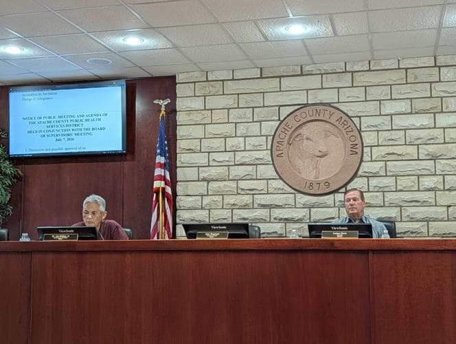
Apache County eyes Senate bill targeting public land sales
A Senate bill could put 14 million Arizona acres, including public land across Apache County’s White Mountains and Defiance Plateau, on the sale list.
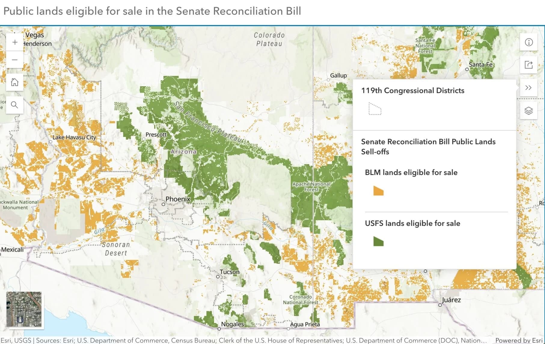
A Senate reconciliation bill could put 14 million acres of Arizona public land on the table for sale, and Apache County sits in the middle of the geography most likely to feel it first. In a county that spans 11,216 square miles in the northeast corner of Arizona, federal and state land are not background scenery. They shape where people graze cattle, hunt, travel, camp, and build.
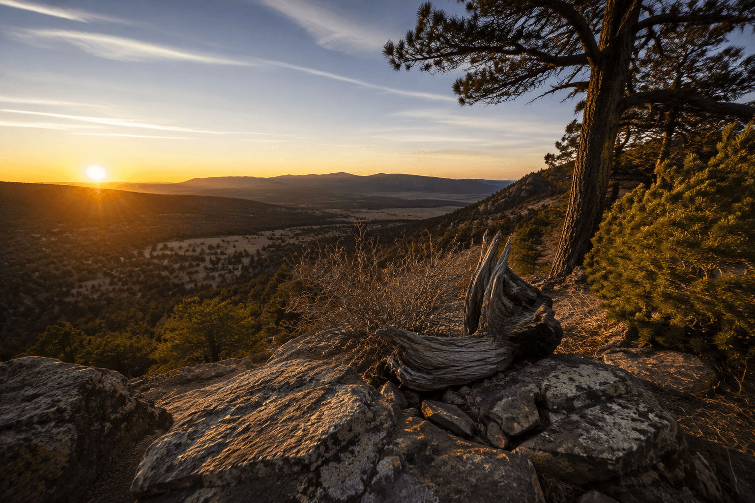
Apache County’s terrain makes the issue especially immediate. The White Mountains rise above 10,000 feet in the south, while the Defiance Plateau and Chuska Mountains stretch across the north and east. Lower country mixes piñon and juniper woodlands, short grass plains, and low mountains. With annual precipitation ranging from 2 to 39 inches depending on elevation and location, land ownership affects more than property lines. It affects access to water, grazing, recreation, and the roads that connect remote communities.
The Senate bill has already become a point of contention across the West. AZPM reported on June 17, 2025, that 14 million acres of Arizona public land were eligible for sale under the reconciliation measure. The Wilderness Society described the Senate bill as making more than 250 million acres of public lands eligible for sale. Outdoor Alliance said a separate Senate spending package proposed selling off 3.3 million acres. Western Watersheds Project said an amended version of the budget proposal removed a grazing-land exemption, widening the set of lands that could be vulnerable.
That matters in Apache County because the county’s day-to-day landscape already blends Navajo Nation lands, public parcels managed by the U.S. Bureau of Land Management and the U.S. Forest Service, and tribal land governance on the Fort Apache Indian Reservation. The White Mountain Apache Tribe’s land code says its authority for land governance on the reservation was approved June 27, 1958. Any move to dispose of nearby federal land can ripple into grazing access, habitat, and the routes residents use to move between communities and work sites.
County officials have long treated land use as a core issue. Apache County has a county land-use and resource policy adopted through a county resolution amending the comprehensive plan, and the county government describes the area in terms of mesas, cliffs, valleys, and canyons tied to outdoor recreation. That local framing matters if Congress advances language that could change who controls familiar ground.
The practical question in Apache County is not abstract ownership. It is whether land that now supports ranching, recreation, cultural use, and future growth stays in public hands or moves into private control, changing access long before the debate ends in Washington.
This article was produced by Prism’s automated news system from verified source data, official records, and press releases, then run through automated quality and moderation checks before publishing. The system is built and supervised by the people who set the standards it runs under. Read our full AI policy.
Did this article answer your question?