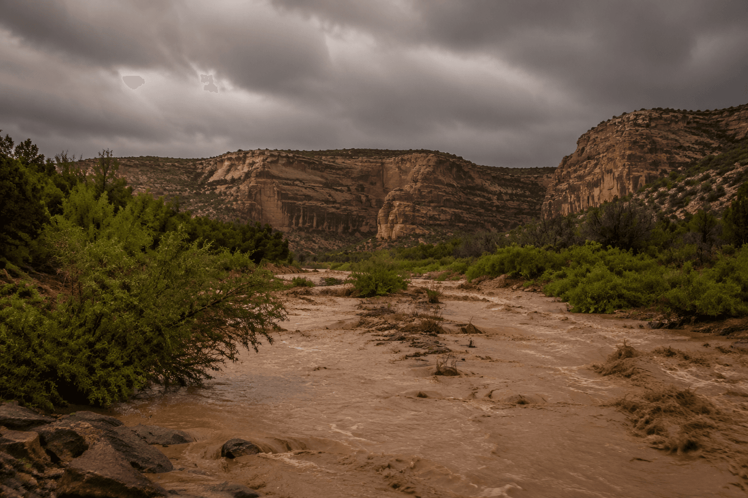
Apache-Sitgreaves National Forests guide helps plan Apache County outdoor trips
Apache County’s forest back yard offers 21 campgrounds, mapped trails and a Springerville planning hub, but elevation and permits can change a trip fast.
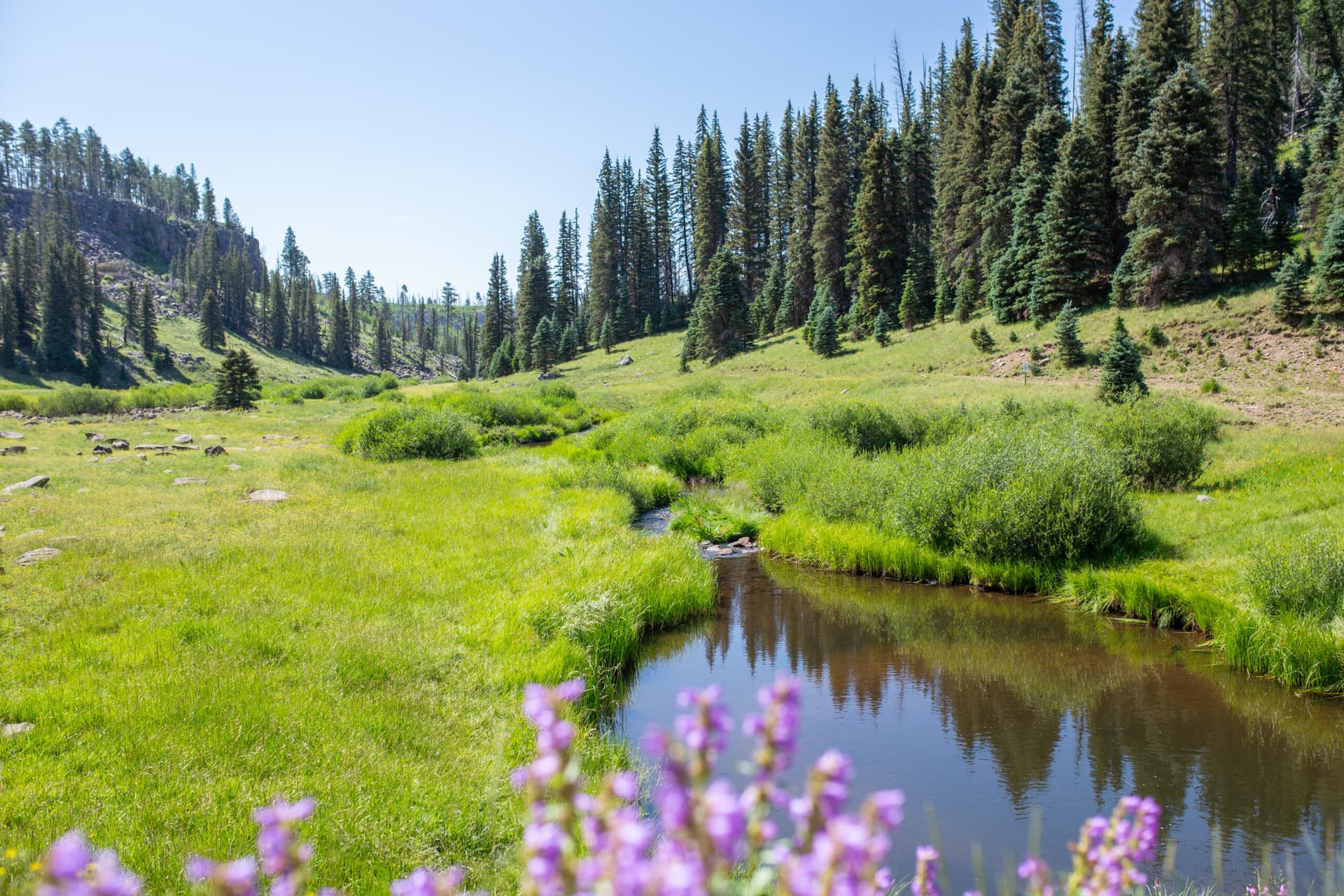
Near Springerville, Apache-Sitgreaves National Forests gives Apache County residents a practical escape valve, not just open space on a map. Tied to the White Mountains towns of Eagar, Greer, Alpine and Nutrioso, it gives Apache County residents a full planning system for quick day trips and overnight stays. The difference between a smooth outing and a scramble often comes down to using the forest’s own pages for campgrounds, permits, maps and dispersed camping rules before you leave town.
Why this forest matters in Apache County
Apache-Sitgreaves stretches across more than two million acres, with more than 400 species and four distinctly unique mountain ranges. A drive from Springerville to a trailhead can feel very different from an afternoon near Greer or Alpine. Recreation.gov lists campgrounds in the forest with a mix of amenities and settings, from developed sites to primitive backcountry options.
The forest’s planning value is local as much as recreational. The Springerville Ranger District is the most useful office anchor when you are organizing a trip from the county side.
Start with the official planning pages
The forest’s website is organized in the way a good trip needs to be organized. It separates recreation opportunities from camping and cabins, passes and permits, maps and guides, and dispersed camping guidelines, which makes the planning sequence clear instead of forcing you to guess your way through the forest.
Dispersed camping deserves special attention because it is not the same thing as camping anywhere you can pull off the road. The forest treats it as a defined set of guidelines about where camping is allowed, how to reduce impact and how to stay legal on public land. If you are heading out for a low-cost overnight, the first decision is whether you want a developed campground with facilities or a dispersed site that requires more self-sufficiency and better route awareness.
Use Springerville-Eagar as your launch point
The Springerville-Eagar Regional Chamber of Commerce calls the area a headquarters for day trips to the Petrified Forest, Big Lake, Luna New Mexico, the Volcanic Field Tour, Casa Malpaís National Park, Zuni, Sunrise Ski Resort, and local hiking, biking, ATV and horse trails. People move through this part of the White Mountains from one town cluster to many possible outings, with choices that depend on road conditions and how much time you have.
The surrounding towns are where people buy supplies, fuel vehicles, check conditions and decide whether a same-day trip should become a weekend stay.
Choose the right overnight option
If you want the easiest trip to plan, start with the developed campground side of the forest. Recreation.gov lists Apache-Sitgreaves National Forest as offering 21 campgrounds, and Apache Trout Campground is one example of a reservable site with a posted price range of $38 to $425 per night and a 4.7-star rating based on 381 reviews.
For a family outing or a mixed group, the developed campground pages are the cleaner starting point because they reduce uncertainty about site setup and access. The campground pages give you a clearer sense of what amenities are available, while the dispersed-camping pages are better if you already know how to travel light, read a map and manage your own setup. Match the site to the group, the weather and the amount of driving you want to do after leaving Apache County towns.
Follow the numbered trails and maps, not just a destination name
The forest trail pages add a level of specificity that makes trip planning far more useful than a generic outdoors overview. Named routes such as Blue River Trail #101 and Railroad Grade Trail #601 show that the trail system is mapped and organized in official detail when you are trying to reach a real access point instead of a vague stretch of public land. In a forest this large, the number on the trail often tells you more than the trail name alone.
Maps and guides are essential because many access points are remote and because the forest does not work like a city park with obvious entrances. If you are planning a short outing, use the map pages to decide where you can realistically start, how long the drive will take, and whether a trail is better suited to a quick family hike, a bike ride or an overnight approach.
Watch elevation, weather and the speed of change
The White Mountain Apache Tribe says its homeland in eastern Arizona ranges from about 2,600 feet to 11,400 feet on Mount Baldy. That vertical spread is a practical warning for anyone heading into Apache-Sitgreaves: weather, trail conditions and comfort level can change fast as you move from lower country into the higher mountains. A trip that feels mild in one part of the forest can turn colder or more demanding a short drive later.
A smart same-day plan starts with the conditions you can actually manage. Carry a printed or downloaded map from the forest’s maps and guides section, check the passes and permits page before you go, and decide in advance whether you are treating the outing as a campground trip or a dispersed-camping trip. Bring enough water, fuel and layers to match the elevation you are likely to reach, especially if your route runs far from Springerville or other town services.
A landscape with history and rules
Apache-Sitgreaves National Forests were established as two separate national forests in 1908, and the current land management framework is dated August 2015 with a slight revision in October 2017. Trail names, camping categories and access rules are standardized rather than left to improvisation.
This article was produced by Prism’s automated news system from verified source data, official records, and press releases, then run through automated quality and moderation checks before publishing. The system is built and supervised by the people who set the standards it runs under. Read our full AI policy.
Did this article answer your question?