Arizona forestry project targets wildfire risk near Springerville
Crews were set to treat 683 acres north of Springerville, with hand work starting the week of April 13 and firewood headed to local banks.
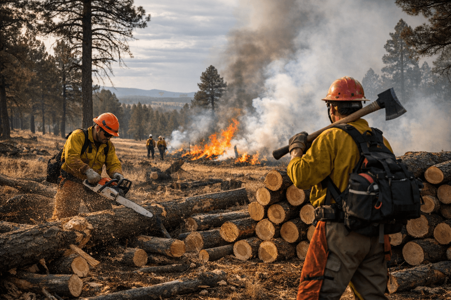
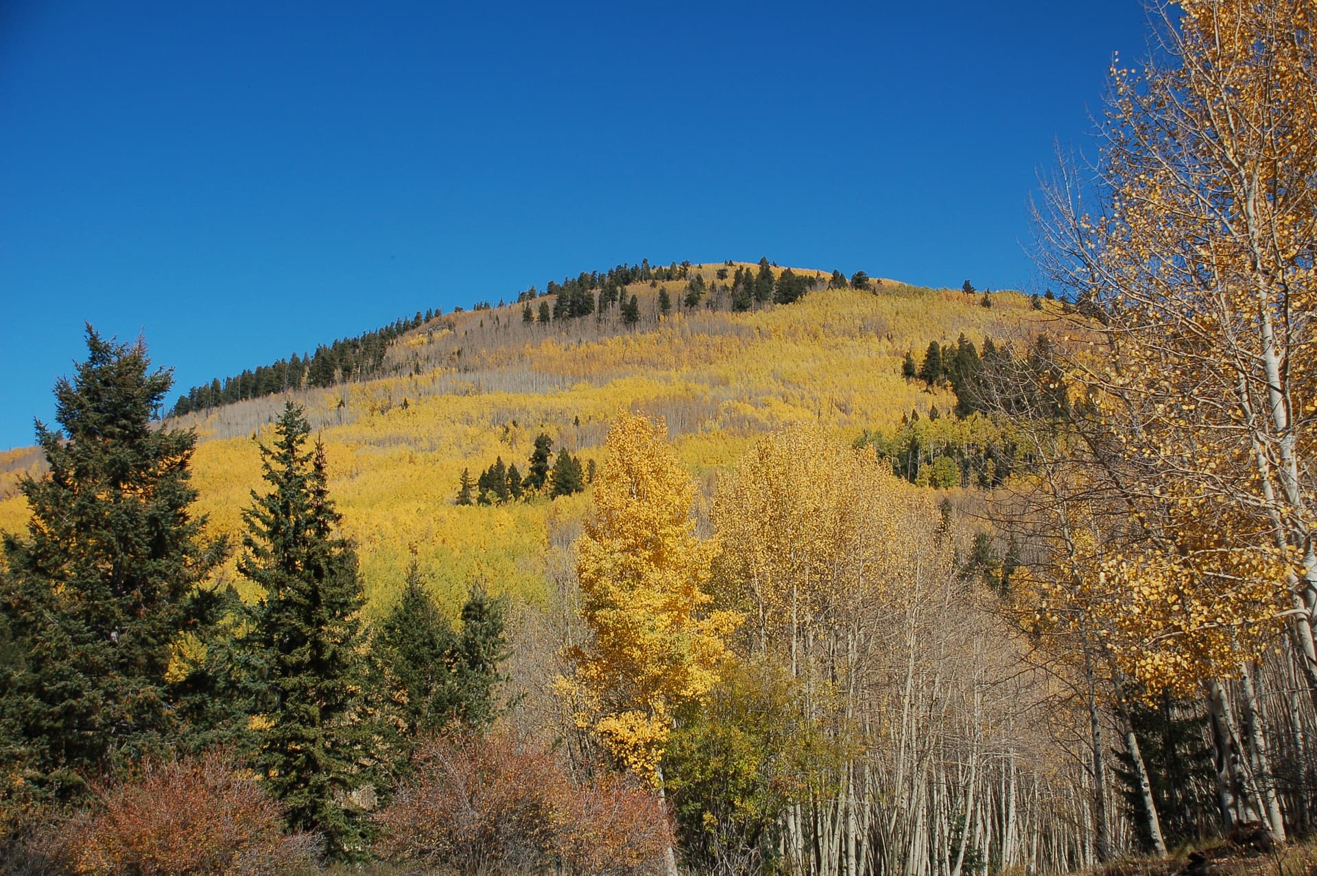
State forestry crews were preparing to thin 683 acres of State Trust Lands north of Springerville, a project Arizona officials said would start the week of April 13 and run into late May if weather and fire restrictions allowed it. The Molina Basin Project, announced April 8 by the Arizona Department of Forestry and Fire Management, focused on removing stressed, dead and dying juniper trees in Apache County, where drought has continued to strain the landscape.
The work area sits on State Trust Lands bordered by the Apache-Sitgreaves National Forest and private lands, making it part of a larger patchwork of ownership around Springerville rather than a stand-alone thinning site. Officials said the goal is to reduce hazardous fuels and move the site gradually back toward a mixed grassland and wooded habitat, a shift they said should leave healthier trees with more sunlight and nutrients.
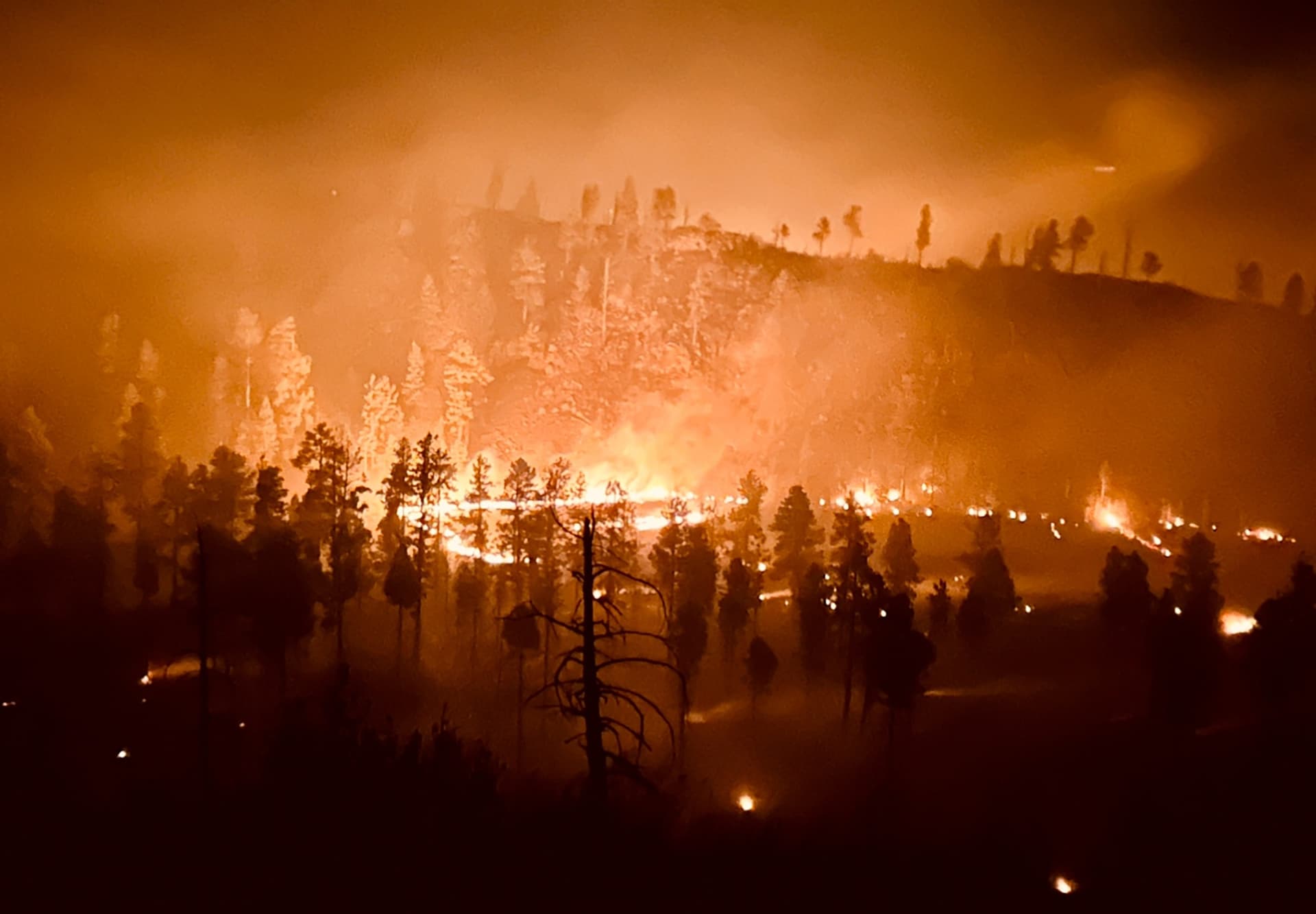
The timing reflects the pressure on eastern Apache County’s forests. State drought tracking showed Apache County under moderate short-term drought, with severe short-term drought in parts of southern Apache County, while federal and state station-based drought monitoring continued to show dry conditions in early April. The project also comes as the Apache-Sitgreaves National Forests remains active with prescribed fire planning in the Springerville Ranger District, where smoke had already been warned as possible along Highway 60 and Highway 180/191 between Eagar and Nutrioso.
The state said much of the wood removed from Molina Basin would be distributed to nearby communities for firewood, and nonprofit or local community organizations could request material for firewood banks. That gives the project a direct household impact in a county where heating costs and winter firewood access matter, especially for vulnerable residents who rely on wood for warmth.
Officials framed the project as part of a longer restoration effort, not a one-time cleanup. The Department of Forestry and Fire Management said it was working alongside earlier forest treatments completed by the Apache-Sitgreaves National Forest, and tied the effort to broader cooperation under Good Neighbor Authority, the state-federal model used to carry out fuels work on U.S. Forest Service lands. The wider Apache-Sitgreaves system covers about 2 million acres in east-central Arizona.
The agency’s announcement also pointed to larger restoration policy in the region, including the Four Forest Restoration Initiative, whose goals include improving watershed health, wildlife habitat, biodiversity, old-growth protection and resilience to climate-driven fire risk. For Apache County, the test will be whether projects like Molina Basin can do more than reduce fuel on paper and actually make the ground around Springerville, Eagar and the surrounding forest edge less vulnerable before the next hard fire season arrives.
This article was produced by Prism’s automated news system from verified source data, official records, and press releases, then run through automated quality and moderation checks before publishing. The system is built and supervised by the people who set the standards it runs under. Read our full AI policy.
Did this article answer your question?