Bureau of Indian Affairs Responds to Chinle Wash Fire in Apache County
BIA named protecting agency after satellite sensors flagged a new ignition near Chinle Wash on the Navajo Nation border overnight April 6-7, with early trackers showing zero mapped acres.

The Bureau of Indian Affairs is the designated protecting agency for a fire that satellite systems detected in the Chinle Wash area of Apache County overnight April 6-7, 2026, placing federal wildfire infrastructure at the center of the response to one of the county's first confirmed spring ignitions.
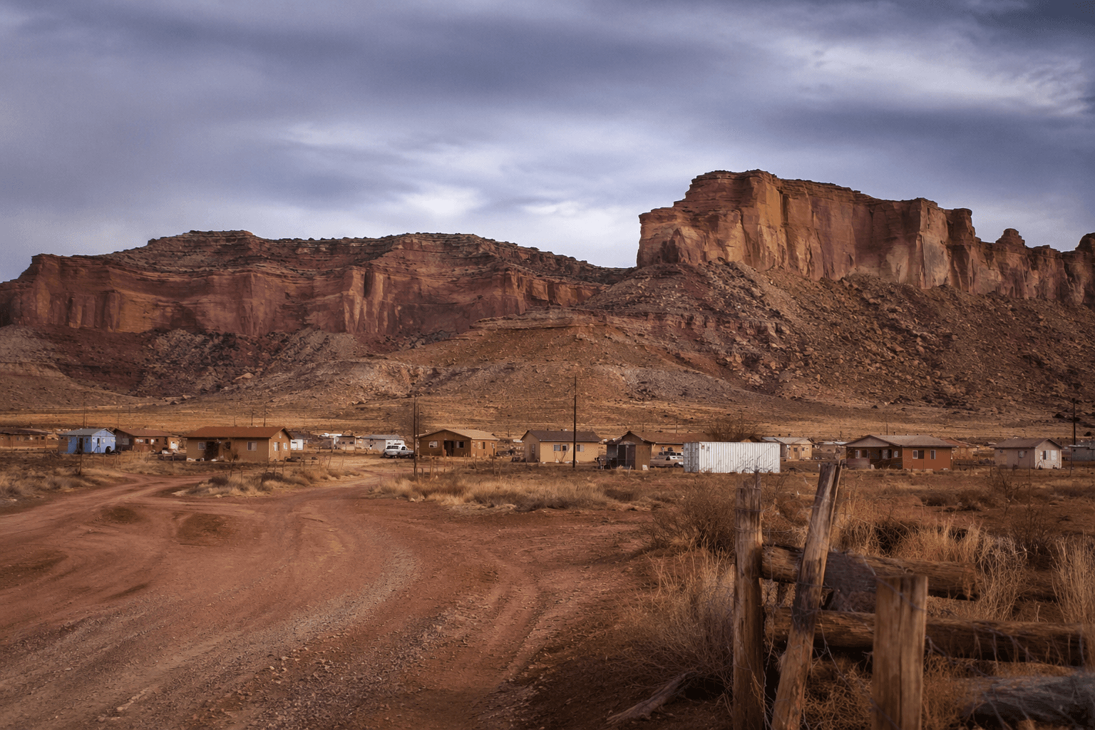
Interagency fire-data systems logged the incident under the name "Chinle Wash" with discovery timestamps spanning April 6 and April 7. Early mapping placed the fire within or immediately adjacent to Navajo Nation trust lands in the Chinle District, an area administered through the BIA's Chinle Agency. Initial acreage figures in public trackers showed zero or near-zero acres, a data state that reflects the lag between satellite detection and verified ground mapping, not an all-clear from incident command. Until official perimeter reports flow through the interagency system, any containment percentage or acreage figure listed on third-party aggregators should be treated as a placeholder, not a final assessment.
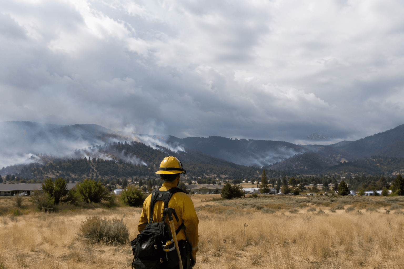
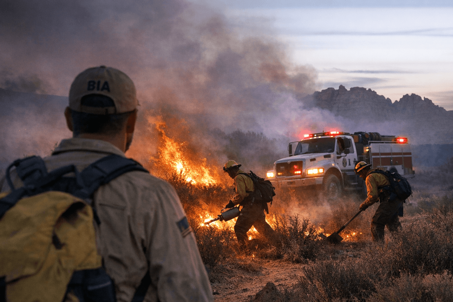
The Chinle District sits along Apache County's western corridor, where shrub and grass fuels dominate the Arizona/New Mexico Plateau ecoregion. April conditions in that zone, driven by spring winds and pre-monsoon dryness, are historically when small ignitions outpace initial attack before perimeter control is established. The BIA, as the named protecting agency for fires on tribal trust lands in this area, coordinates directly with Navajo Nation fire programs, pooling engines, hand crews, and available aircraft based on fire behavior and the values at risk.
Communities along the Chinle Wash corridor should monitor official channels for road closures and air-quality advisories. Smoke from shrub-grass burns in this terrain can move quickly into Chinle and nearby chapter communities, and schools and chapter houses in the area have historically received shelter-in-place notices when plumes track eastward. Evacuation triggers in incident command are typically tied to a defined perimeter threshold, a wind-speed benchmark, or proximity to a structure cluster. Residents who have not registered for Navajo Nation emergency alerts or the Apache County emergency notification system should do so before conditions escalate.
Anyone living within five miles of the Chinle Wash drainage should have a go-bag ready: Tribal enrollment documents and government-issued identification, a minimum three-day supply of prescriptions and medical equipment, water, and phone chargers. Evacuation routes in this part of Apache County funnel through a limited number of paved corridors, and delays caused by last-minute packing under smoke and wind conditions have historically cost families critical time.
For verified incident data, the federal InciWeb portal and the Watch Duty app both display BIA-managed fire perimeters tied to official incident command reports rather than raw satellite pings. Any road closure or evacuation notice for Navajo Nation corridors will come through the Navajo Nation Department of Fire and Rescue Services and its official accounts; Apache County Emergency Management handles county-side notifications separately.
With BIA confirmed in the lead role and spring fire weather already established across Apache County, the Chinle Wash detection is the season's first accountability test for how quickly the federal-tribal response chain can translate a satellite hot spot into boots on the ground.
This article was produced by Prism’s automated news system from verified source data, official records, and press releases, then run through automated quality and moderation checks before publishing. The system is built and supervised by the people who set the standards it runs under. Read our full AI policy.
Did this article answer your question?