Small Alpine fire contained as crews mop up steep terrain
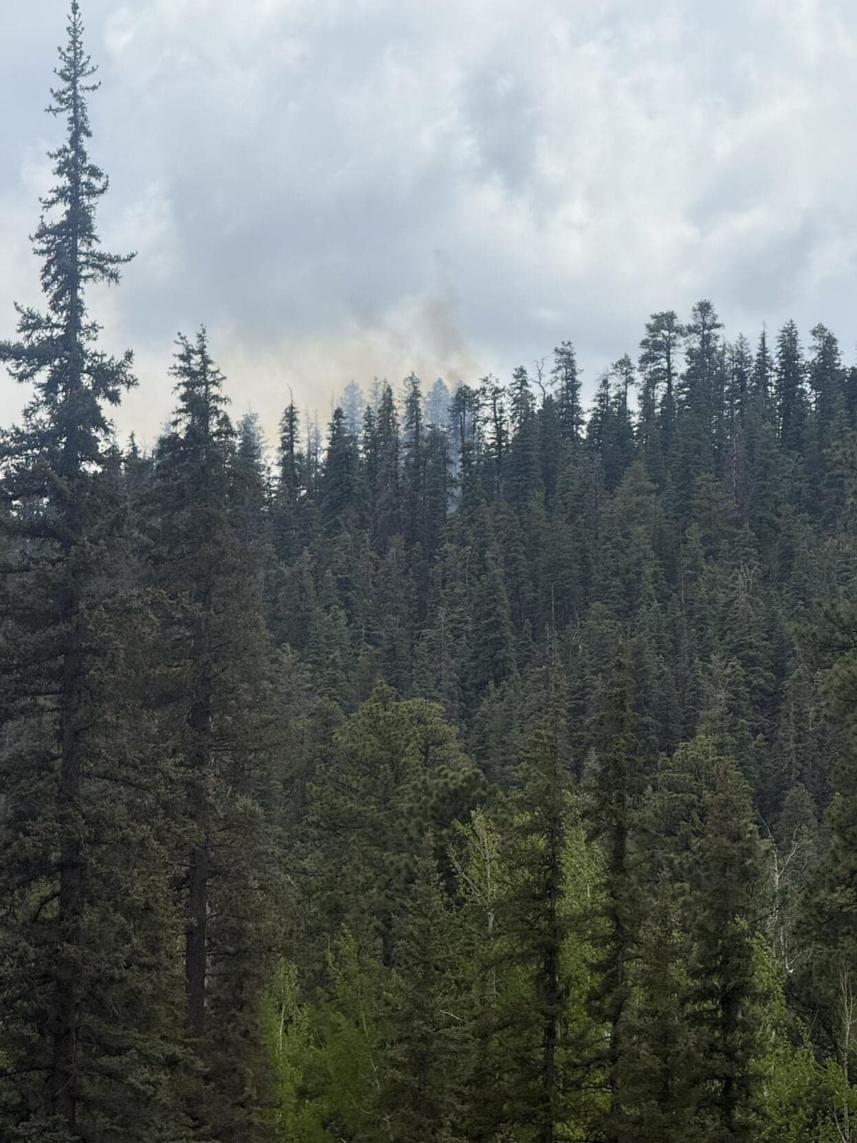
A 0.25-acre fire south of Tal-Wi-Wi Lodge triggered a Level 2 warning for part of Alpine, showing how fast a tiny start can strain readiness.

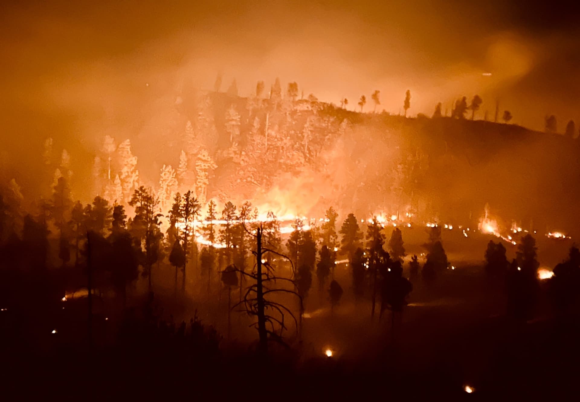
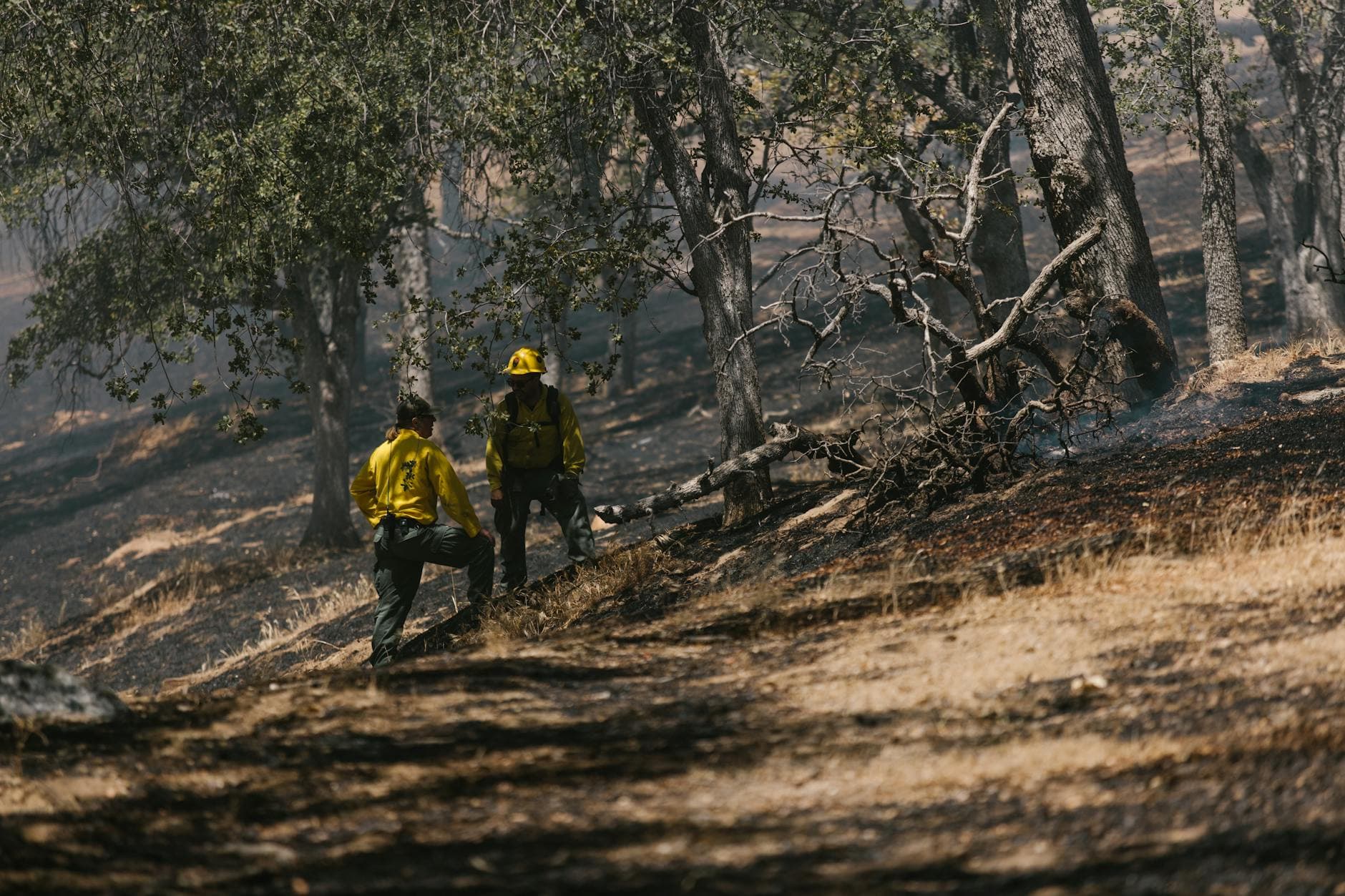
A quarter-acre fire south of Tal-Wi-Wi Lodge showed how quickly Alpine can tip into emergency when dry fuel, steep slopes and wind line up. Even with no homes lost and no injuries reported, the Divide Fire forced residents near County Road 2040 to stay ready for evacuation and drew a fast, multi-agency response in terrain where heat can linger underground.
The fire was reported at about 1:22 p.m. May 13 and was initially estimated at 0.25 acres. Crews stopped its forward progress in steep, rocky ground in a dense mixed-conifer stand packed with heavy dead-and-down fuels and about a one-foot duff layer, conditions that can let fire creep through the forest floor even after flames appear small. The burn was just south of Tal-Wi-Wi Lodge near Alpine, about seven miles west of the Arizona-New Mexico border.
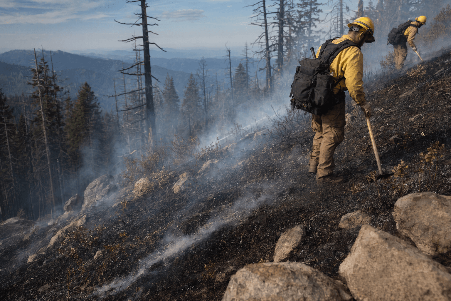
Resources on scene included a Type 1 helicopter, a Type 3 helicopter, Flat Top WFM, ASF-E662, ASF-E661, the Alpine Fire Department, Navopache Electric, Apache County Emergency Management and the Arizona Department of Forestry and Fire Management. That mix of local, county, utility and state crews mattered because the first hours of a fire in this part of eastern Apache County can decide whether residents are dealing with a quick stop or a fast-moving evacuation.
Communities within a half-mile of County Road 2040 in Alpine were placed under a SET, or Level 2 evacuation warning, a reminder that even a small ignition can affect daily life before flames ever reach a structure. Officials reported no injuries and no damaged buildings, and the cause remained under investigation. Apache County Emergency Management and Preparedness says its mission is to evaluate, understand, plan and prepare for the unexpected while teaming with responder agencies, and it urges residents to sign up for real-time emergency alerts.
By May 14, crews had drawn a line around the fire and were being released, with U.S. Forest Service crews and others returning the next morning to finish mop-up. Later reporting described the fire as about a half-acre and said it was human-caused, showing how early acreage estimates can change as incidents are mapped more closely.
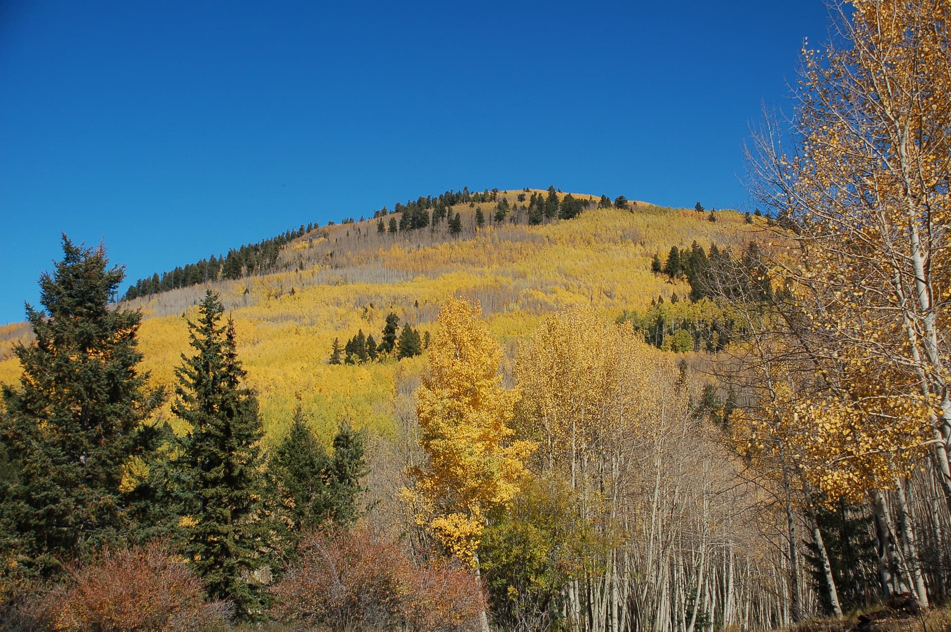
The broader warning for Apache County is hard to miss. The Apache-Sitgreaves National Forests cover more than two million acres in east-central Arizona, and the White Mountains have already seen what one mountain fire can become. The Wallow Fire started near Alpine on May 29, 2011, eventually burned 538,049 acres across Arizona and New Mexico, and forced evacuations in the same corridor now watching for the next wind event.
This article was produced by Prism’s automated news system from verified source data, official records, and press releases, then run through automated quality and moderation checks before publishing. The system is built and supervised by the people who set the standards it runs under. Read our full AI policy.
Did this article answer your question?