Major blockage shuts down lower Autauga Creek Canoe Trail section
A dense tangle of fallen trees and debris has shut the lower Autauga Creek Canoe Trail near Mile Marker 3, creating a dangerous stretch ahead of Memorial Day traffic.
A major blockage has turned the lower Autauga Creek Canoe Trail into a public-safety hazard, with a pileup of fallen trees, logs, bamboo, litter, inflatable floats and even a tire blocking the channel roughly a quarter-mile below Mile Marker 3 and before the Autauga Creek RV Campground area.
Creek advocate Skip Lobmiller warned paddlers to stay out of the lower section until conditions improve. As floodwaters dropped after recent flash flooding and high water, the debris field worsened and left very little room for safe passage. Photos from the scene showed a dense obstruction spread across the waterway, with unstable material packed tight enough to completely choke off the route.
The danger is especially serious for kayakers, canoeists and tubers using Autauga Creek as a warm-weather recreation spot heading into Memorial Day weekend. Lobmiller said the public should avoid floating beyond the Doster Well area for now. He also noted that the left side may offer limited portage access, but swift water, shifting debris and wildlife activity could make any attempt to pass through dangerous.

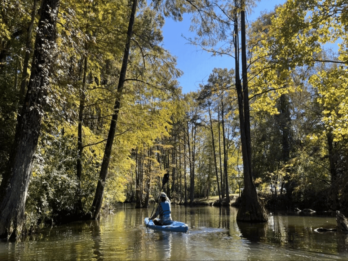
Autauga Creek is one of Prattville’s signature outdoor draws. Trail sources describe it as a 13-mile route and part of the Alabama Scenic River Trail, while Outdoor Alabama says a four-mile canoe trail was established by the Autauga Creek Improvement Committee and runs from a park behind City Hall to Canoe Trail Park behind the animal shelter. A shorter outing on the creek is widely promoted as a roughly three-hour paddle beginning behind City Hall, and Alabama recreation listings put that blueway at four miles and about two to three hours of paddling.
The creek’s popularity helps explain why a blockage in the lower stretch matters so quickly. The route is known for a shaded canopy, spring-fed water and Class I conditions, with access points, primitive camping and a campground presence along the corridor. One trail listing says the mile markers run from 0 at the Alabama River through 12 above the dam, and another says the route begins at Bridge Creek access on County Road 10.

Local trail improvements have continued in recent years, including a 2024 mile-marker program backed by Sen. Clyde Chambliss and Rep. Jerry Starnes, along with a new launch system at Mill Pond above the spillway tied to an Alabama Scenic River Trail Waterway Enhancement Program project. Volunteers were expected to begin cutting a service trail through the woods so crews could reach the downstream side and assess whether the obstruction can be cleared.
This article was produced by Prism’s automated news system from verified source data, official records, and press releases, then run through automated quality and moderation checks before publishing. The system is built and supervised by the people who set the standards it runs under. Read our full AI policy.
Did this article answer your question?