Baker County Panel Debates Motor Vehicle Access on National Forest Roads
A Sumpter ATV group's push to permanently protect 1.2 million acres of forest for motor vehicle use exposed a key legal problem: no forest supervisor has that power.
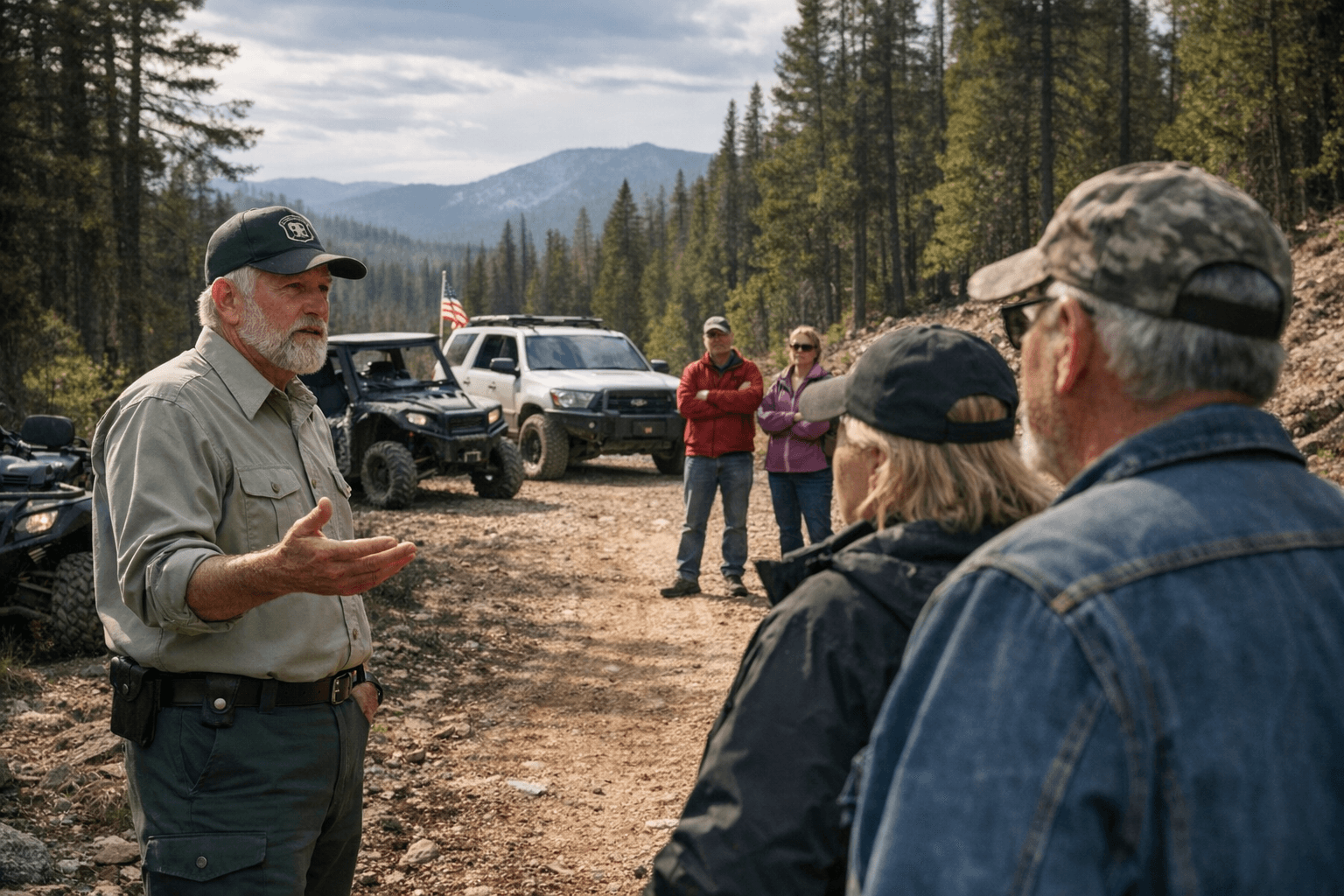
Jon and Rebecca Patterson, members of the Sumpter Valley ATV Association, came to Baker County's Natural Resource Advisory Committee last Monday carrying a proposal to create an approximately 1.2-million-acre "multiple use" area spanning parts of the Wallowa-Whitman and Malheur forests, where motor vehicle use would be allowed permanently regardless of future travel management plans. The proposed area would extend from the crest of the Elkhorns east of Sumpter west to near Highway 395, and south to near Highway 26, taking in the Greenhorn Mountains. The proposal ran immediately into a wall of federal authority that even the county's own allies could not get around.
The Natural Resource Advisory Committee, which advises Baker County commissioners on natural resource issues including management of the national forest and BLM public lands that make up about half of the county's 2 million acres, took up the question of motor vehicle access on the Wallowa-Whitman during its March 23 meeting. Shaun McKinney, the Wallowa-Whitman's forest supervisor, attended and delivered a statement that cut to the heart of the Pattersons' plan: McKinney said neither he nor any other forest supervisor has the authority to designate a specific area as permanently open for specific uses, including motor vehicles.
That legal reality did not dampen the committee's ambitions, but it did reshape the strategy. Baker County Commissioner Christina Witham, the commission's liaison to the NRAC, said the better approach is to try to "codify" the entire Wallowa-Whitman as an "open forest" rather than protect only a slice of it. The Wallowa-Whitman and the adjoining Malheur are already considered "open" forests without a travel management plan, meaning motor vehicles are allowed except in places where they are expressly excluded, while the Umatilla, the third national forest in the Blue Mountains, does have such a plan and only allows motor vehicles on designated roads and trails.
Witham's concern is that a partial designation could push Baker County toward the Umatilla model by a different route. Lock in one section as permanently open, she argued, and advocates for road restrictions would be emboldened to target the rest. NRAC member Barry Nemec echoed that fear directly, saying the ultimate objective should be to keep the entire Wallowa-Whitman open and that any partial designation would give closure proponents a foothold to lobby for restricting access elsewhere on the forest.
Wilderness areas, which can only be designated by Congress, are the biggest expanses already closed to motor vehicles; the Eagle Cap Wilderness on the Wallowa-Whitman, for instance, is Oregon's largest federal wilderness at about 365,000 acres. The Wilderness Act also prohibits motor vehicles in wilderness areas such as the Eagle Cap and North Fork John Day.
The debate is hardly new. In 2012, the Wallowa-Whitman supervisor signed a travel management plan that would have blocked motor vehicles from more than 3,000 miles of roads on the 2.4-million-acre forest. The supervisor withdrew the plan after about a month following widespread public opposition. In July 2025, Jacqueline Buchanan, the Forest Service's top official in the Northwest, ordered supervisors of all national forests in the region, including the Wallowa-Whitman and Malheur, to suspend any proposal to reduce public access, including travel management planning. July 31 letters from the forest supervisors confirmed that Wallowa-Whitman and Malheur officials were evaluating all projects to ensure they comply with Buchanan's memo and do not reduce public access.
Baker County Natural Resource and Parks Director Doni Bruland welcomed that suspension last August but made clear she expected it to be temporary. "We're delighted right now that (travel management) is off the table, but I'm sure it's going to come around again," Bruland said. "I think it's a good thing to take a break from it for now. We don't want any further (road) closures."
New long-term management plans for all three national forests in the Blue Mountains, replacing plans that date to 1990, are scheduled for adoption by the end of 2026, at which point the Forest Service has said travel management planning could resume. That timeline gives the NRAC and county commissioners a narrow window to build whatever legal or political architecture they believe can protect motor vehicle access before the question comes around again.
This article was produced by Prism’s automated news system from verified source data, official records, and press releases, then run through automated quality and moderation checks before publishing. The system is built and supervised by the people who set the standards it runs under. Read our full AI policy.
Did this article answer your question?


