Baker County snowpack falls to 43% of average amid dry spell
Snow water content in the Blue Mountains fell to 43% of the 1991-2020 average, reducing spring runoff prospects for ranchers, farmers and firefighters.

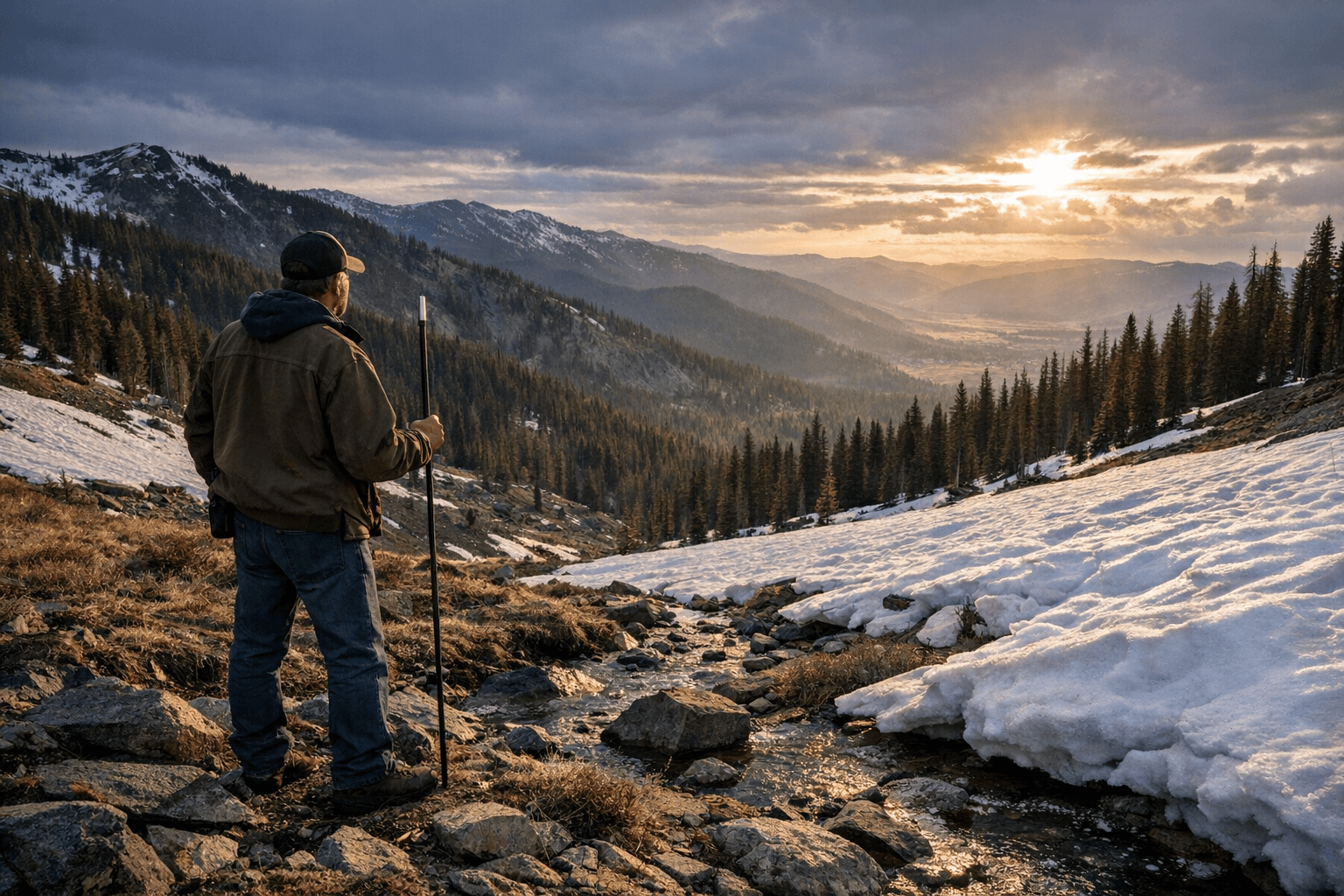
Snowpack across Northeastern Oregon slipped sharply behind normal, leaving Baker County water users and emergency managers bracing for reduced spring runoff. The average water content at 21 automated measuring sites in the Blue Mountains was 43% of the 1991-2020 average as of Thursday, Jan. 22, a level described as among the skimpiest for this time of year in the past half century.
Water content, measured by weight, is the key metric for predicting how much water will arrive in streams and reservoirs when snow melts. Snow depth can be misleading because a foot of light powder contains far less water than a few inches of wet snow. That distinction matters here: December was wet but unusually warm, keeping the snow line at 6,000 feet or higher and producing rain instead of heavy mountain snow in many storm events.
A persistent high pressure ridge parked over the region the second week of January steered moist Pacific systems well to the west. The National Weather Service issued forecasts indicating the dry pattern could persist at least another week and potentially through the remainder of January. The ridge also produced a temperature inversion that trapped stratus and fog in valley bottoms while higher elevations baked under abundant sun and daytime highs above freezing.
Specific station readings underscore the imbalance. The Aneroid Lake site recorded a high of 37 degrees on Wednesday, Jan. 21, while the Baker City Airport, elevation 3,373 feet, posted a maximum of 27 degrees that day and its fourth straight daily high between 25 and 27. A snow-measuring site near Anthony Lakes at 7,160 feet warmed to 46 degrees on Jan. 21, the 13th straight day with highs above 35. The warmest day of the stretch, Jan. 14, reached 56 degrees at that site.
Local water and land managers face competing implications. The abundant rain in December will replenish soil moisture, which hydrologists say will allow more of this season’s melt to run off into streams and reservoirs rather than be retained by dry soils. That should blunt some impacts for irrigation districts and municipal systems. At the same time, the low mountain snow water equivalent raises concerns for anglers, ranchers relying on late-spring forage and water, and wildland firefighters who track fuel and streamflow conditions into fire season.

Moore, a regional water official, noted that the season is not yet decided. “February through early April can bring good snow for us,” he said. “We have time. A couple really good storms, that’s what we really need.”
For Baker County residents the near-term outlook means staying tuned to forecasts and reservoir updates as agencies adjust river and reservoir operations. The coming weeks will determine whether the region recovers with late-season storms or faces a prolonged runoff and fire-risk challenge heading into spring.
This article was produced by Prism’s automated news system from verified source data, official records, and press releases, then run through automated quality and moderation checks before publishing. The system is built and supervised by the people who set the standards it runs under. Read our full AI policy.
Did this article answer your question?