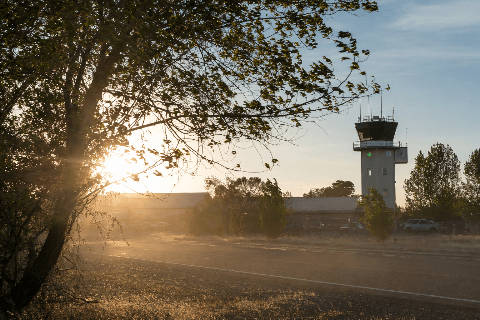
Baker County wakes to warm gusts after record hot Tuesday
Baker City Airport hit 89.1 degrees Tuesday, then a 54-mph dawn gust and an 18-degree jump in 20 minutes jolted Baker County awake before sunrise.
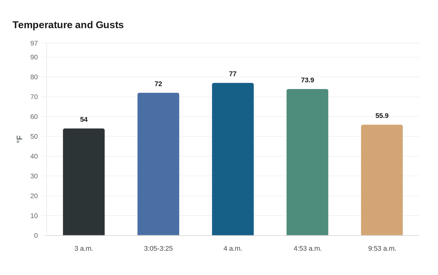
Baker City Airport reached 89.1 degrees on May 12, breaking the old May 12 record of 88 set in 1993, then turned sharply unsettled before dawn Wednesday as wind and temperature changed almost by the minute. At the airport, the temperature sat at 54 degrees at 3 a.m., climbed to 72 between 3:05 and 3:25 a.m. as wind sped up from 3 mph to a gust of 29 mph, and reached 77 by 4 a.m. The strongest gust of the morning topped out at 54 mph at 4:55 a.m.
That abrupt swing was a textbook case of compressional heating, when air rushes downhill and warms as pressure increases. The Baker City Airport weather station, WBAN:24130, has a period of record that begins Jan. 1, 1948, giving forecasters a long benchmark for comparing unusual warm, windy days like this one.

NOAA hourly observations for Baker Municipal Airport showed just how fast the atmosphere was changing. At 4:53 a.m., the airport reported 73.9 degrees with south winds of 30 mph gusting to 47. By 9:53 a.m., the temperature had dropped to 55.9 degrees, while winds were still gusting to 44 mph. That kind of fast-moving shift can make travel more difficult for drivers on exposed roads, hit ranchers working in open country, and create tough conditions for anyone trying to work outside before daylight.
The wind was not confined to Baker City. Blue Canyon, Baker Valley near Haines, Sumpter, Unity and Hereford all saw rapid wind and temperature changes as the same pattern moved across Baker County. In dry country, warm gusts like these can also sharpen fire danger across grass and range land, especially when the air changes so quickly.
The National Weather Service in Pendleton said Thursday that the region was still dealing with breezy to locally windy conditions, with the strongest winds in the Eastern Columbia River Gorge. Aviation forecasts called for afternoon winds around 25 knots, even as temperatures were expected to warm again later in the week. For Baker County, the episode was a reminder that a single front can deliver record heat, sharp wind and a fast drop into cooler, unsettled weather in the span of a few hours.
This article was produced by Prism’s automated news system from verified source data, official records, and press releases, then run through automated quality and moderation checks before publishing. The system is built and supervised by the people who set the standards it runs under. Read our full AI policy.
Did this article answer your question?