Baker County’s Oregon Trail ruts still tell the westward migration story
Baker County’s best Oregon Trail evidence is still visible in plain sight: wagon ruts you can stand beside, then read through a network of parks, museums and trail sites.
Baker City still holds one of the clearest pieces of the Oregon Trail in Oregon: thirteen miles of visible wagon ruts that people can see without leaving town.
What you can still see in Baker City
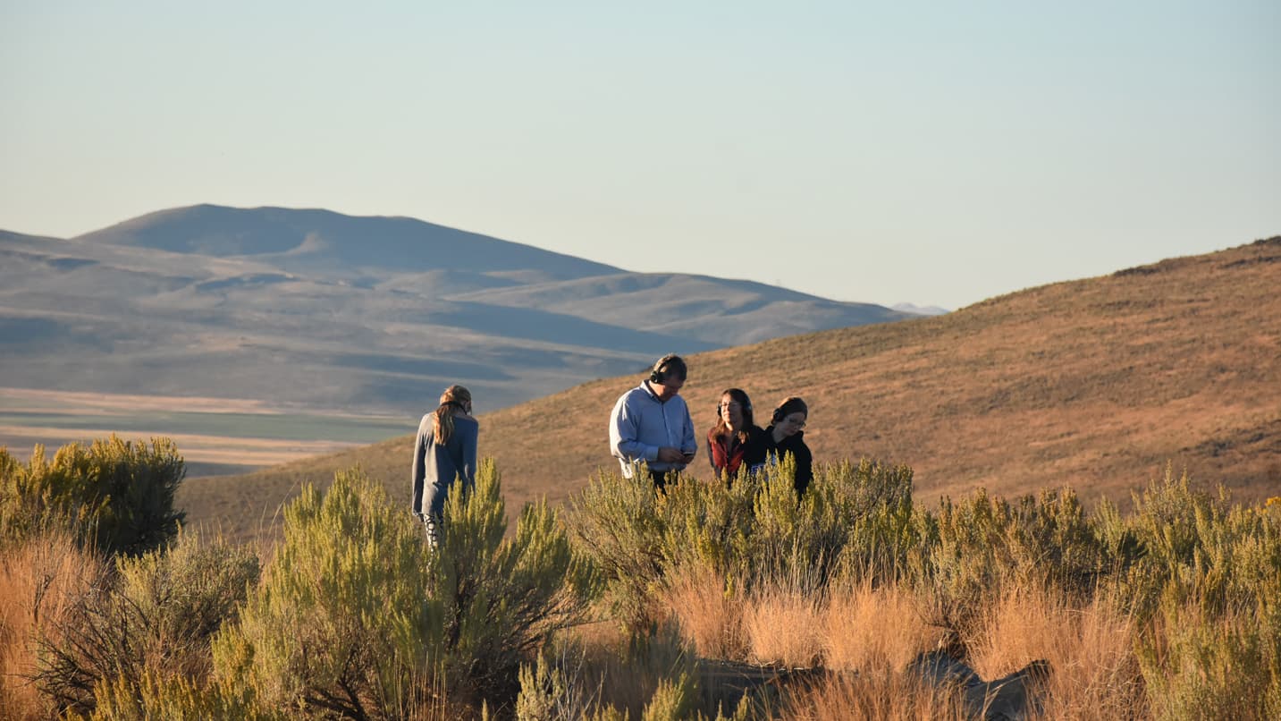
The most immediate evidence is the ruts themselves. In Baker City, the trail corridor is a physical mark on the land that can still be traced beside modern roads and open ground.
That view is reinforced at the National Historic Oregon Trail Interpretive Center, where nearly a mile of wheel ruts lies on the grounds of a 509-acre site atop Flagstaff Hill. The hill overlooks the Oregon Trail route south across Virtue Flat and north across the Baker Valley, and the site’s name comes from the Flagstaff gold mine located beneath it. The result is a landscape where Oregon Trail history and Baker County’s later mining history are visible in the same frame.
How the interpretive center explains the trail
The center sits five miles east of Baker City and opened in 1992 after a community-led effort that began in 1987. Baker City leaders formed the nonprofit Oregon Trail Preservation Trust to help develop the project. Today the Bureau of Land Management manages the center, while Trail Tenders, Inc., gives it an additional local stewardship layer.
Inside and outside, the center uses life-size displays, multimedia, ranger talks and the Pack Your Wagon exhibit to interpret the westward migration period from roughly 1840 to 1860. Its interpretation is organized around six themes: Pioneer Life on the Oregon Trail, Mountain Men and early Trail Travelers, Native Americans along the Oregon Trail, Natural History along the Trail and in Eastern Oregon, Mining and Early Settlement, and the history of the General Land Office, Grazing Service and Bureau of Land Management.
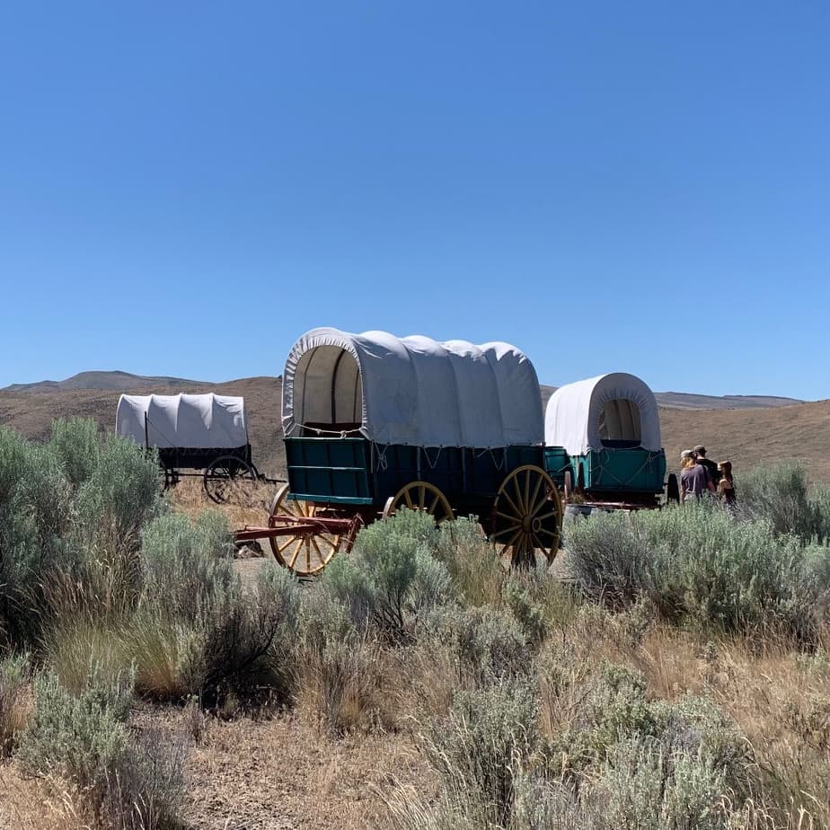
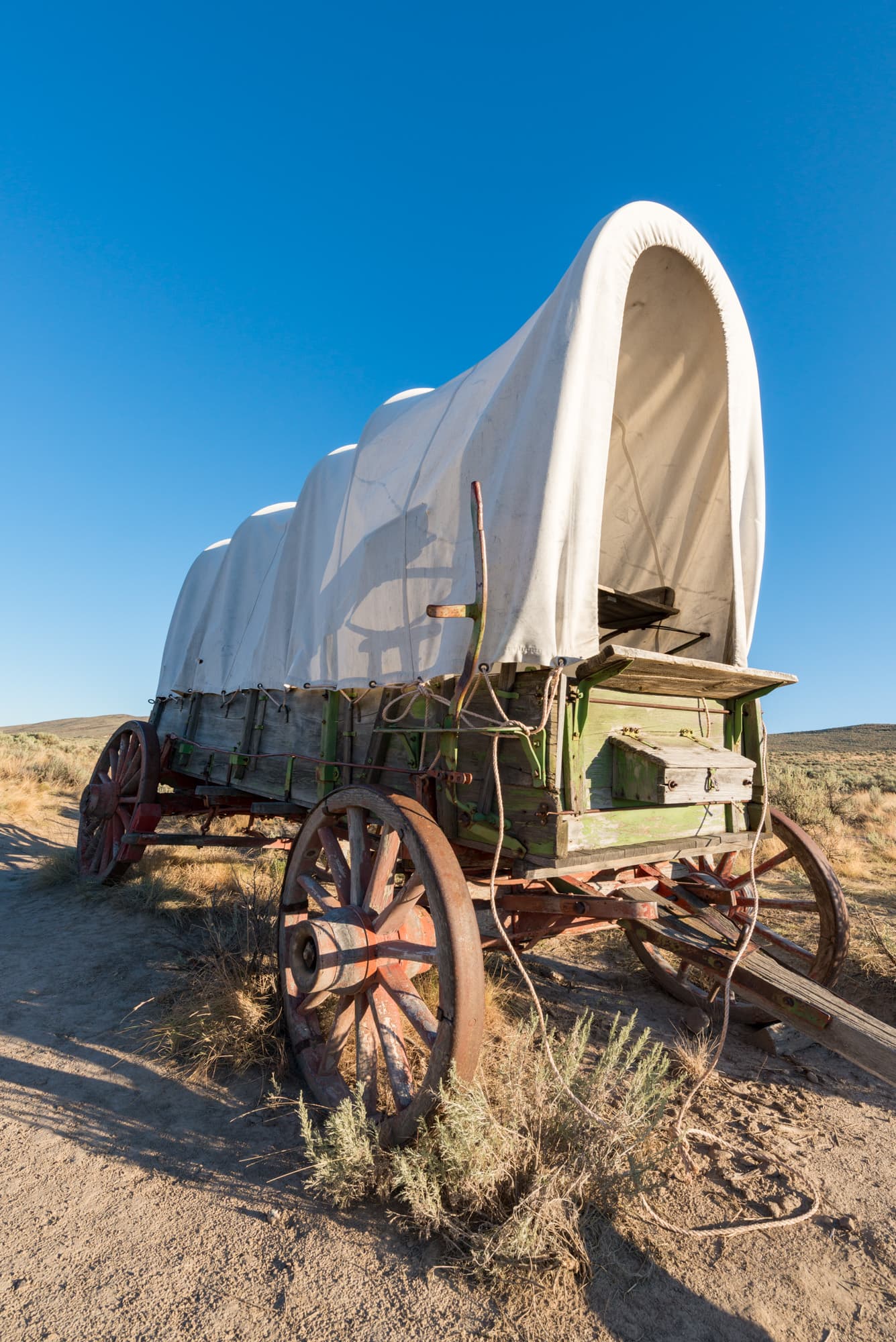
More than 4 miles of interpretive trails pass a replica wagon encampment and the remnants of the Flagstaff Gold Mine and nearby Stamp Mill, tying the migration story to the region’s mining past. The center is an interactive museum and outdoor site, and the trail evidence is outside, on the ground, where the movement of wagons can still be read.
Access, hours and what changed after the renovation closure
The center reopened on May 24, 2024, after a three-year closure for renovations. The BLM offered free admission through May 26 and set summer hours at 10 a.m. to 5 p.m. daily. The center was later open daily in summer with free ranger programs on Fridays and Saturdays.
Why preservation here is a public responsibility
The Oregon Trail Preservation Trust was created by Baker City leaders in 1987, and the site’s ongoing management by the BLM and support from Trail Tenders show that the work is still shared between federal stewardship and local commitment.
Wagon ruts can be damaged by traffic, erosion and casual use, and the center’s renovations underscore that interpretive sites require ongoing care. In practical terms, the cost of protecting this history includes maintaining trails, staffing ranger programs, preserving outdoor exhibits and keeping public access organized enough that the land remains legible for the next visitor.
Other Baker County stops that widen the story
Baker County’s Oregon Trail landscape does not end at Baker City. At Farewell Bend State Recreation Area in Huntington, historic markers and interpretive displays explain why the site mattered on the trail, and evening interpretive programs run seasonally from Memorial Day through Labor Day. Because the park sits on Brownlee Reservoir, it also works as a camping and boating stop for travelers who want to pair trail history with time on the water.
Blue Mountain Crossing adds a different kind of field experience. The Forest Service calls the preserve home to some of the best-preserved traces of the Historic Oregon Trail, including wagon-wide depressions and scarred ponderosa pines. Accessible trails, picnic areas and periodic living-history encampments make it one of the most immediate places to connect the route to the terrain itself, and its location in the Wallowa-Whitman National Forest’s Blue Mountains North/Grande Ronde River Basin recreation area places the trail inside a broader public-land setting rather than a single roadside pullout.
How the Baker County route fits the larger migration story
The trail through this part of eastern Oregon was only one segment of a much longer passage. The journey could take up to six months, and wagons typically covered only ten to twenty miles per day. In Oregon, the route passed through the Powder River and Grande Ronde valleys, over the Blue Mountains and down toward The Dalles; after 1846, later travelers could use the Barlow Road around Mount Hood to reach Oregon City.
Tamástslikt Cultural Institute near Pendleton, which opened in 1995 and is identified by the Oregon Encyclopedia as the only Native American museum on the trail, adds another crucial layer to the regional network by centering Native history alongside migration history.
This article was produced by Prism’s automated news system from verified source data, official records, and press releases, then run through automated quality and moderation checks before publishing. The system is built and supervised by the people who set the standards it runs under. Read our full AI policy.
Did this article answer your question?