Late-Season Storm Blankets Elkhorn Mountains, Anthony Lakes With Fresh Snow
Eight inches of fresh snow fell at Anthony Lakes in two days, the biggest storm since March, even as Baker County snowpack sits at just 34% of average with a drought emergency in effect.
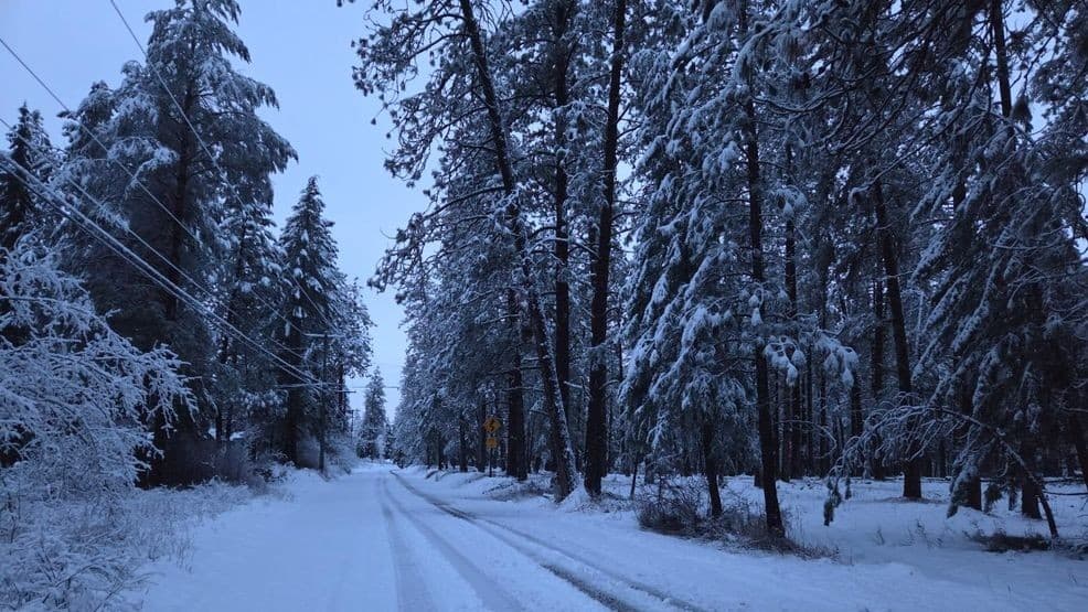
Eight inches of new snow fell at Anthony Lakes Mountain Resort over two days, making the storm that swept through April 3 the most significant Baker County had seen since the first week of March. By Friday morning the Elkhorn Mountains above Baker City were white again, a striking reversal for a county already operating under a state-declared drought emergency.
The timing was almost perfectly ironic. Anthony Lakes, set at a 7,100-foot base elevation in the Elkhorn Range about 35 miles northwest of Baker City, closes for the 2025-26 season today, April 5. That gave skiers a closing-weekend powder window on a 42-inch base, a final flourish from a winter that had otherwise been stingy with mountain snow.
The fresh accumulation did little to rewrite the larger hydrology story. Across 19 snow-measuring stations throughout the Blue Mountains, water content stood at just 34% of average as of Friday morning, up roughly 4 percentage points from the start of the month. At the Anthony Lake measuring station specifically, water content registered 14.3 inches as of April 1, which was 52% of average and the third-lowest reading for that date since monitoring began in 1936. A station near Moss Springs in the western Wallowas above Cove recorded 5 inches of new snow on a 41-inch base, showing the storm's reach across neighboring ranges.
Those numbers preceded Gov. Tina Kotek's March 26 executive order declaring a drought emergency in Baker County, following a 3-0 vote by county commissioners on Feb. 18 requesting the declaration. The order warned that drought was likely to have a significant economic impact on the agricultural, livestock, natural resource and recreational tourism sectors. Farmers and ranchers who rely on snowmelt-fed irrigation for summer operations face a lean season regardless of this week's snowfall.
For motorists, the storm meant conditions shifted quickly on roads climbing into the Elkhorns. Anyone heading toward higher elevations should carry chains or emergency winter gear and verify conditions before departing. Spring storms in northeast Oregon can leave icy surfaces on mountain routes even when Baker City's valley floor stays clear.
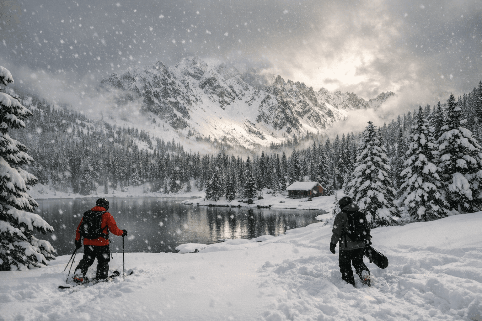
Fresh snow on steep terrain also raised avalanche concerns for backcountry users. Anyone planning off-trail travel in the Elkhorns or surrounding high country should consult current avalanche advisories before heading out.
For wildfire and water managers, the relief is partial at best. Late-season snow can push back the onset of early spring fire conditions, but sustained impact on summer streamflow requires more than one storm. Forecasts for below-normal precipitation and streamflow through summer, which underpinned the drought declaration, remain in place. At 34% of average across 19 Blue Mountains sites, one early-April storm is not enough to close a season-long deficit.
Baker County has swung sharply between extremes this spring: a drought emergency signed just eight days before the county's biggest snowstorm in nearly a month.
This article was produced by Prism’s automated news system from verified source data, official records, and press releases, then run through automated quality and moderation checks before publishing. The system is built and supervised by the people who set the standards it runs under. Read our full AI policy.
Did this article answer your question?