Severe thunderstorm warnings issued for Baker County, hail and wind threat
Halfway and Richland were under severe thunderstorm warnings as hail and wind gusts up to 70 mph threatened Baker County Thursday evening.

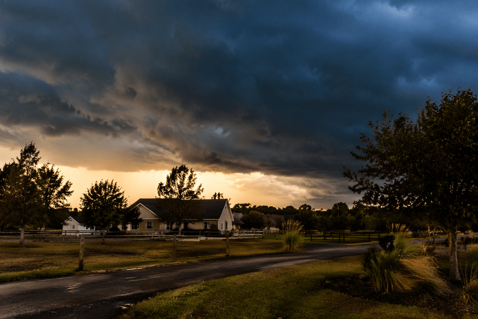
Strong thunderstorms prompted multiple warnings across Baker County, with Halfway and Richland among the communities in the path of hail and damaging wind gusts that could reach 60 to 70 mph. Residents were urged to get indoors quickly, keep travel to a minimum and stay alert as the storms moved through eastern Oregon before sunset.
The severe weather threat was part of a broader late-May setup over southeast Oregon and southwest Idaho. Storms were expected to develop along the Nevada border around 2 p.m. MDT, then lift northwest across the region, with the most dangerous conditions fading after sunset. For Baker County, the timing mattered: the strongest cells could overlap with afternoon driving, outdoor work and the evening hours when people are often scattered across ranches, roads and local events.
Severe Thunderstorm Watch 248 remained in effect until 8:00 p.m. PDT for Baker County and a wide swath of nearby Oregon counties, including Harney, Malheur, Union, Wallowa, Umatilla, Wasco, Grant, Crook, Deschutes, Jefferson, Gilliam, Hood River, Lake, Morrow, Sherman and Wheeler counties. NWS Pendleton says a severe thunderstorm warning means severe weather has been detected by radar, observed by trained storm spotters or forecast for a specific area, which is why officials pushed for immediate protective action.
The forecast details pointed to a volatile atmosphere across the region. NWS Portland’s late-day discussion highlighted elevated instability, with CAPE around 1,200 to 1,600 J/kg in parts of the area and 0-6 km bulk shear around 30 to 40 kt. That kind of setup can support stronger storms, and the main hazards called out for Oregon were quarter-size hail and damaging wind gusts near 60 mph.
For Baker County, the practical concern was less about the science than the consequences: blowing dust, downed branches, slick roads, interrupted travel and disrupted outdoor work. Ranching chores, field work and evening plans all faced the same warning signal, especially in places where shelter is limited and storms can turn dangerous fast. By nightfall, the immediate threat was expected to ease, but the message remained clear while the warnings were active: get inside and wait out the storm.
This article was produced by Prism’s automated news system from verified source data, official records, and press releases, then run through automated quality and moderation checks before publishing. The system is built and supervised by the people who set the standards it runs under. Read our full AI policy.
Know something we missed? Have a correction or additional information?
Submit a Tip