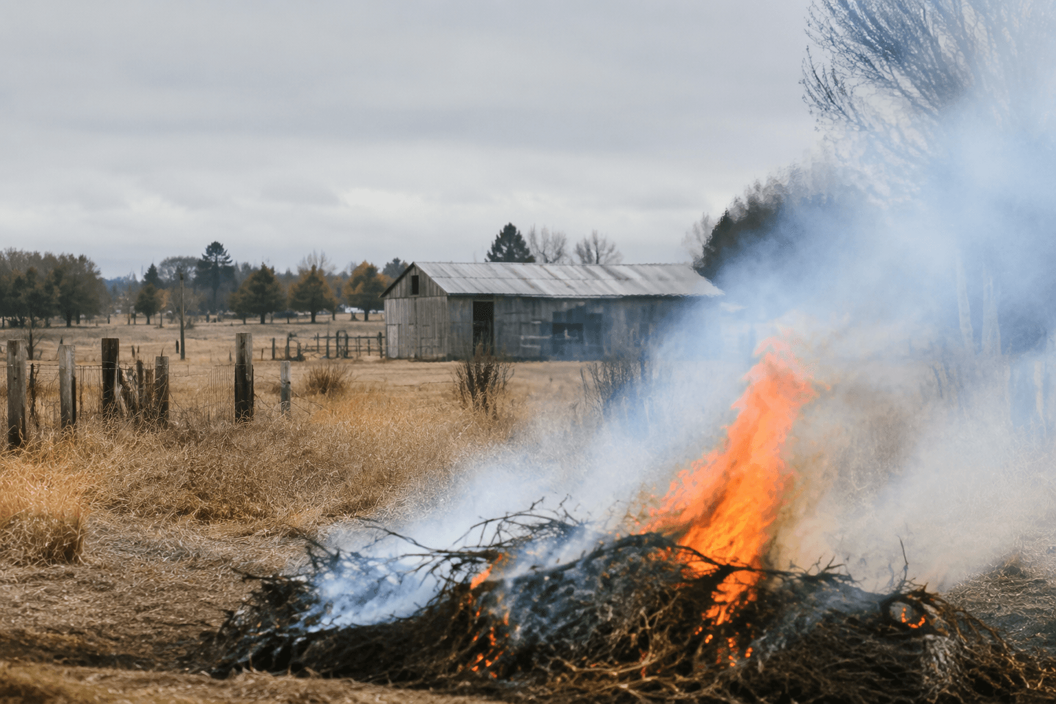
Sheriff issues evacuation notices near Brownlee Reservoir as wildfire risk grows
Evacuation notices went up along Brownlee Reservoir as wildfire zones tightened across eastern Baker County. Nearby Level 3 orders showed how quickly the danger was moving.
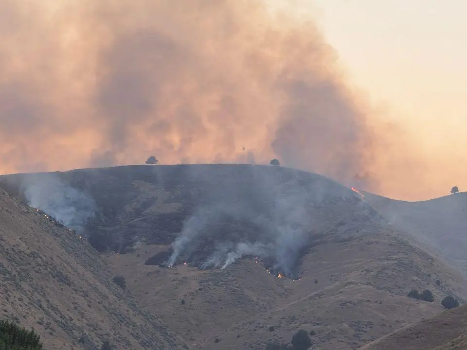
The Baker County Sheriff’s Office issued evacuation notices for an area along Brownlee Reservoir on July 24, tightening the map for people living, camping or recreating near one of the county’s busiest water corridors. The notice came as eastern Baker County remained under pressure from a string of wildfires that had already pushed nearby neighborhoods and road corridors into higher evacuation levels.
The Brownlee corridor had already been swept into Level 3 GO NOW alerts elsewhere in the week. On July 23, a Level 3 evacuation was issued for the area south of Powder River and Brownlee Reservoir to Huntington, east of Iron Mountain and near the Snake River corridor. A Baker County Sheriff’s Office Facebook post also identified a Level 3 Go Now advisory for the Powder River Fire south of the Powder River and Brownlee Reservoir area east of Daly Creek Road. On July 24, Elkhorn Media Group also reported Level 3 GO NOW evacuations for the Fox Fire in Baker County.
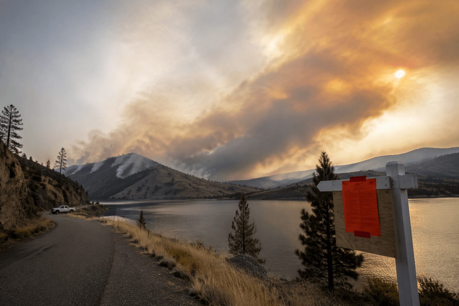
The fire activity had been building since thunderstorms ignited several fires on July 7 and July 8. Baker County’s evacuation map was expanded for the Powder River Fire on July 18, and the pace of notices over the next week showed how quickly conditions were changing across the county. In a rural area where homes, ranches and travel routes are spread out, that kind of escalation can affect whether families have time to move livestock, secure equipment and leave before roads become difficult or unsafe.
Brownlee Reservoir is also a major recreation site, so the evacuation notices landed on visitors as well as residents. On July 20, the Oregon Health Authority issued recreational use health advisories for Brownlee Reservoir and Hells Canyon Reservoir, adding another layer of caution for people boating, fishing and camping along the water. Those advisories and evacuation notices together made the reservoir corridor a place where public safety concerns were moving on two fronts at once: fire threat on land and health risk on the water.
The sheriff’s office uses notice levels to give people time before fire conditions become too dangerous or access routes are cut off. Level 3 GO NOW orders mean residents should leave immediately, while lower notices signal that conditions may worsen fast enough to require evacuation. Those notices can be escalated if fire behavior, winds or road access deteriorate, and they can be lifted only when the immediate threat eases enough for crews and residents to move safely again.
This article was produced by Prism’s automated news system from verified source data, official records, and press releases, then run through automated quality and moderation checks before publishing. The system is built and supervised by the people who set the standards it runs under. Read our full AI policy.
Did this article answer your question?