Slow-moving spring storm soaks Baker County with rare wet day
Baker City Airport logged 0.97 inch Sunday, the wettest day there in more than 2 1/2 years, after a slow low spun moisture back into Baker County.

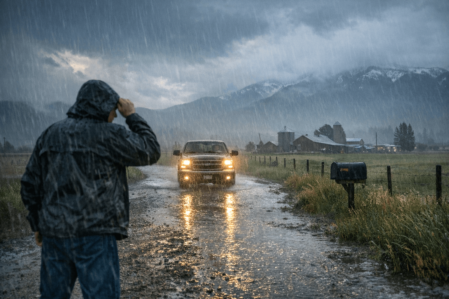
A slow, stubborn spring storm delivered Baker County a soaking that stood out even in a dry year: Baker City Airport measured 0.97 inch Sunday, April 12, the wettest day there in more than two and a half years.
The reason it mattered was not just the amount. Jay Breidenbach, a warning coordination meteorologist with the National Weather Service in Boise, said the system was a “closed off low” that drifted south of Baker County and into southern Idaho before wrapping rain back into the county. That kind of setup kept moisture in place for more than half a day, instead of sweeping through and leaving quickly.
By Monday morning, the two-day total at the airport had reached 1.35 inches. That was more rain in two days than Baker City Airport saw during all of January, February and March combined, when precipitation totaled 1.22 inches. For a county where most areas were still in moderate drought and about 10% remained in severe drought as of April 7, the storm offered a meaningful short-term drink for soils, streamflows and spring growth.
The numbers help explain why local weather watchers noticed it immediately. Sunday’s rainfall was the largest single-day total at the airport since Aug. 21, 2023, when remnants of a hurricane dropped 1.4 inches. It also shattered the previous April 12 mark at the airport, 0.25 inch set in 2003. In a county accustomed to long dry stretches, even a one-day event can change field conditions, ease dust, and briefly lower fire danger before the next warm spell returns.
The storm arrived just days after Gov. Tina Kotek declared a drought emergency in Baker County on March 31 through Executive Order 26-05, citing persistent moderate drought since June 2025, below-normal precipitation and streamflow, well-below-normal snowpack and drier-than-normal soil moisture. The declaration was the first drought emergency Kotek issued in 2026 and was meant to unlock emergency tools, including help for local water users.
The rain did not end the drought story. The National Weather Service forecast called for a mainly dry Tuesday, then another chance of rain and snow showers Wednesday and Thursday, with snow levels near 4,500 feet before dropping to around 3,500 feet after midnight. For Baker County, that meant Sunday’s rare wet day was a reset, not a finish.
This article was produced by Prism’s automated news system from verified source data, official records, and press releases, then run through automated quality and moderation checks before publishing. The system is built and supervised by the people who set the standards it runs under. Read our full AI policy.
Did this article answer your question?


