Winter Storm Brings Snow, But Mountain Snowpack Remains Below Average
A warm front and a series of winter storms on Dec. 18 and Dec. 19 delivered widespread snow across Northeastern Oregon, increasing mountain snowpack readings but leaving levels still below long term averages. That limited boost offers some relief for reservoirs and irrigation, but local water managers say it is insufficient to erase concerns about the coming spring water supply.
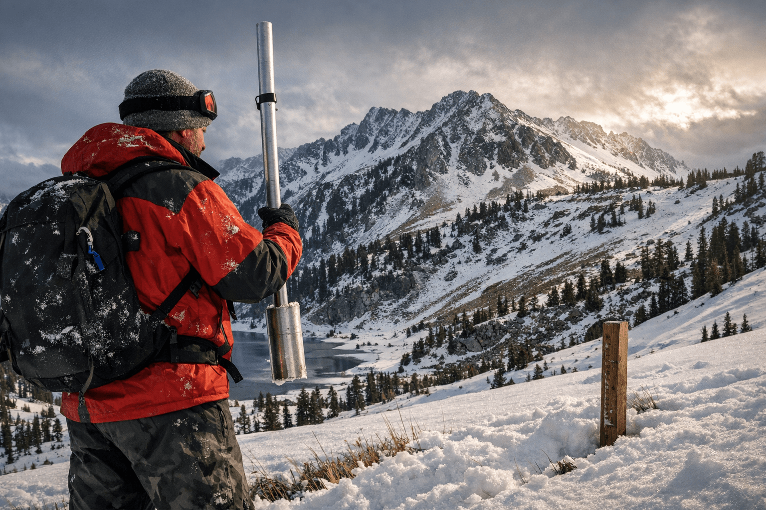
A December weather system that moved through Northeastern Oregon on Dec. 18 and Dec. 19 produced measurable snow across local mountains, providing a noticeable uptick in snowpack readings recorded by regional monitoring programs. The U.S. Geological Survey and the Natural Resources Conservation Service reported increased snow water equivalent measurements following the storm, but both agencies noted that the rise fell short of seasonal norms established over multi decade records.
For Baker County residents the storm produced both immediate benefits and ongoing uncertainty. Snow on higher slopes will contribute to spring runoff that feeds area reservoirs and irrigation systems. That runoff supports farms and municipal supplies across the county, and any additional accumulation is welcomed. However the limited extent of the recent gains means managers will continue to plan for a season that could still run below typical supply levels.
Local water and land management officials have emphasized the need to monitor conditions through the winter and into spring. Officials cited by regional reports described ongoing concern for reservoir refill prospects and for irrigation districts that depend on reliable snowmelt timing and volume. Those officials are preparing operational responses that may include water conservation measures and adjustments to release schedules to balance storage needs with agricultural demand.
The storm also affected travel and recreation across the region. Mountain roads and recreational access points experienced temporary closures and reduced accessibility as crews cleared snow and evaluated conditions. Winter driving conditions were reported during and shortly after the storm, and outdoor recreation operators adjusted services as snowfall altered trail and facility conditions.
Looking ahead, the most important metric for Baker County will be sustained accumulation and a favorable melt pattern next spring. The modest boost from the Dec. 18 and Dec. 19 storms improves near term prospects but does not eliminate the need for careful water planning. Local officials and monitoring agencies will continue to track snowpack and streamflow data to inform decisions that affect reservoirs, irrigation schedules, and community water supplies.
This article was produced by Prism’s automated news system from verified source data, official records, and press releases, then run through automated quality and moderation checks before publishing. The system is built and supervised by the people who set the standards it runs under. Read our full AI policy.
Did this article answer your question?


