Severe thunderstorm warning issued for Bamberg County, 60 mph winds possible
Bamberg County was under a brief severe thunderstorm warning Friday, with 60 mph wind gusts possible and the storm moving east from near Santee State Park.
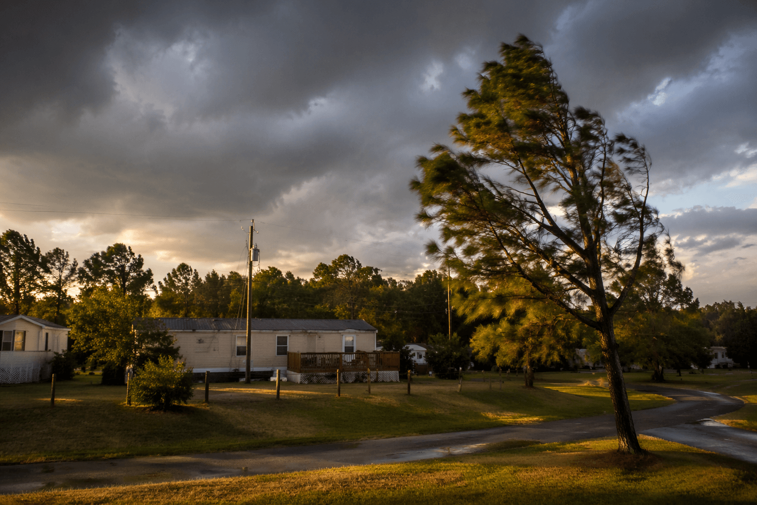
A severe thunderstorm warning put Bamberg County and nearby communities under a short-fuse alert Friday afternoon, with the storm near Santee State Park moving east at 25 mph and wind gusts up to 60 mph possible before the warning expired at 4:30 p.m. EDT. The warning, issued at 4:12 p.m. EDT, covered Bamberg, Denmark, Ehrhardt and Olar, where residents had only minutes to get indoors and secure anything that could be blown around.
The main concern was wind, which can knock down tree limbs, damage power lines and leave rural roads blocked by debris. The National Weather Service says a severe thunderstorm warning is issued when severe storms are happening or imminent, and defines a severe thunderstorm as one producing winds of 58 mph or higher or hail at least 1 inch in diameter. Its safety guidance is simple: seek shelter inside a sturdy building and stay away from windows.
That advice carries extra weight in Bamberg County, where travel often means driving between small towns, farm roads and county routes. Bamberg County Emergency Services says it coordinates a county-wide, multi-hazard disaster preparedness program, a role that matters when fast-moving storms threaten power, access and visibility with little warning. The county’s estimated population was 12,796 on July 1, 2025, down from 13,311 in the 2020 Census, which underscores how many residents live in places where a downed tree or outage can cut off a whole stretch of road or a neighborhood.
South Carolina emergency managers and the National Weather Service continue to flag severe storms, tornadoes and flash floods as major hazards in the state, especially during summer. The South Carolina State Climatology Office reported warmer-than-normal temperatures and high heat index values during the week of June 29 to July 5, 2026, conditions that often help fuel quick, intense thunderstorms.
For Bamberg County, Friday’s warning was brief, but it was not routine. A storm like that can interrupt outdoor work, weekend plans and utility service in a matter of minutes, and it is exactly the kind of weather that keeps residents watching the sky and listening for the next alert.
This article was produced by Prism’s automated news system from verified source data, official records, and press releases, then run through automated quality and moderation checks before publishing. The system is built and supervised by the people who set the standards it runs under. Read our full AI policy.
Did this article answer your question?