Woodlands easements preserve 2,457 acres of Bamberg County history
Five easements now protect 2,457 acres of Woodlands between the Edisto River and Highway 78, keeping Simms’s former estate in Bamberg County’s landscape.
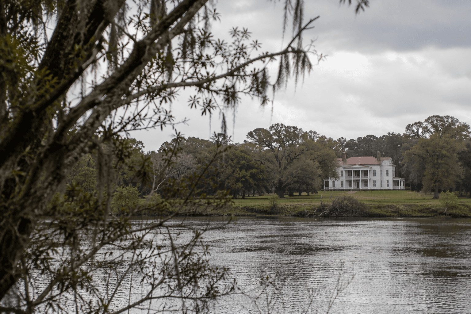
Five conservation easements now protect 2,457 acres at Woodlands in Bamberg County, locking in a broad stretch of land between the Edisto River and Highway 78. The property is not just a literary footnote. It is a working conservation landscape that still shapes how land is used, how history is interpreted, and who inherits the county’s open space.
What the Woodlands easements cover
Open Land Trust says the Woodlands properties consist of five easements totaling 2,457 acres, and that the easements were donated in 2009. The tract sits between the Edisto River and Highway 78, a location that places it squarely inside one of Bamberg County’s defining river corridors. The National Register nomination places Woodlands three miles south of Bamberg on Highway 78, on the south bank of the South Branch of the Edisto River.
That geography matters because conservation easements are one of the few tools that can keep a large rural tract intact while still allowing it to remain privately held and actively managed. Open Land Trust describes its broader mission as conserving open spaces, natural habitats and rural communities throughout the Southern Lowcountry, using conservation easements and fee ownership. Woodlands fits that mission in a particularly visible way: it protects acreage, preserves the river-edge setting, and keeps a named Bamberg County landscape from fragmenting into smaller parcels.
From estate land to preserved forest
Woodlands is also a significant literary landmark. The South Carolina Department of Archives and History identifies it as the country estate home of William Gilmore Simms, one of South Carolina’s best-known 19th-century authors. In 1836, Simms married Chevilette Eliza Roach and received Woodlands through her family, tying the estate directly to the Roach family’s plantation-era holdings.
The same state history material identifies Nash Roach as a gentleman of English descent and a wealthy owner of several plantations. That detail places Woodlands inside a larger story of land, wealth and inheritance that predates modern Bamberg County. The estate’s history is not isolated to one writer’s biography. It reflects the structure of the county’s rural landholding patterns, including the way large tracts passed through family lines and later found new use under conservation.
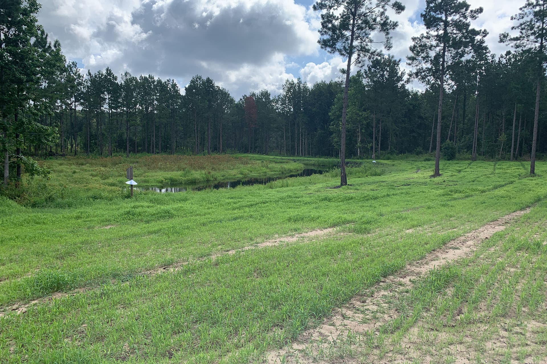
The land itself has changed with time. Open Land Trust says portions of the property were previously used as a cattle farm and later reforested. Today, the tract is managed as forest and used for recreational hunting and retreat. That shift shows how rural land in Bamberg County can move from agricultural production to managed woodland without losing its place in the local landscape.
Why the site still carries local stakes
Woodlands is important because it keeps a large section of Bamberg County under a conservation framework instead of leaving it open to more intensive development. The protected acreage is significant in its own right, but its location along the Edisto River corridor gives the easements added weight. River-adjacent land shapes drainage, wildlife habitat, timber management and the visual character of the county road network around Highway 78.
The site also offers a practical example of how preservation and use can coexist. Recreational hunting and retreat activity keep the land in active circulation, while the easements hold the line on permanent open space. For a county like Bamberg, where land use choices ripple outward into road access, habitat protection and rural identity, that balance is part of the story as much as the historical name attached to it.
A place where history includes descendants, not just authors
Woodlands carries another layer that goes beyond architecture or acreage. The Clio describes it as significant for two primary reasons: it was the home of William Gilmore Simms, described there as the preeminent writer in the South during the antebellum period, and it connects white and Black families whose predecessors lived and worked on the plantation. That connection makes the property part of a living memory network, not simply a historic site.
Clio also says descendants have held reunions at Woodlands for many decades, and that their story was depicted in the 2008 documentary Shared History. That makes the site unusual in South Carolina’s historic landscape. It is one of the places where preservation intersects directly with family memory, slavery, and the effort to confront shared pasts rather than separate them.
A March 8, 2009 article in GoUpstate added another layer to that record, reporting that descendants of enslaved people and descendants of the Simms family met to discuss their shared history. That meeting showed Woodlands functioning as a place of public memory as well as private inheritance, with the estate serving as a setting where families could confront what the plantation era left behind.
How Woodlands fits into Bamberg County’s broader historic map
Bamberg County itself was established in 1897 from Barnwell County, and the county and county seat were named for William Seaborn Bamberg and other members of the Bamberg family. That matters because Woodlands sits in a county that came into formal existence long after Simms’s era, which means the estate bridges two different historical periods: the plantation world that preceded county creation and the administrative county that followed.
The county’s state National Register listings page says Bamberg County has 12 places on the National Register of Historic Places, including one place of national significance and five places of statewide significance. Woodlands belongs in that limited but consequential group. It is part of the county’s built and cultural record, but it is also part of its land base, with 2,457 acres still influencing how the county reads on the ground.
For Bamberg County, Woodlands is not only a preserved estate. It is a protected corridor, a literary landmark, a former plantation landscape, and a place where descendants have met across lines that history once kept rigid. The easements guarantee that all of those meanings remain attached to the same stretch of land between the Edisto River and Highway 78.
This article was produced by Prism’s automated news system from verified source data, official records, and press releases, then run through automated quality and moderation checks before publishing. The system is built and supervised by the people who set the standards it runs under. Read our full AI policy.
Did this article answer your question?