Severe thunderstorms threaten Red Lake, Blackduck with hail, strong winds
Thunderstorms threatened Red Lake, Redby and Blackduck before 5:15 a.m., with 40 mph gusts, hail and larger storms still possible through early Wednesday.

Strong thunderstorms moved across northeastern Beltrami County before daybreak, putting Red Lake, Redby and Blackduck in the path of wind, hail and brief heavy rain that could slow the morning commute and leave scattered damage behind. The National Weather Service in Grand Forks said the special weather statement remained in effect until 5:15 a.m. CDT June 10, with winds to 40 mph and hail up to 0.88 inch possible.
A follow-up alert from IEMBot FGF reinforced that the storm line was still affecting the area in the early morning hours. At 4:43 a.m., Doppler radar was tracking a cluster of strong thunderstorms along a line from Red Lake Nation to near Decker Lake, with wind gusts up to 40 mph and nickel-size hail. Even that lower-end threat can bring down small branches, scatter loose outdoor items and create slick spots on roads before sunrise.
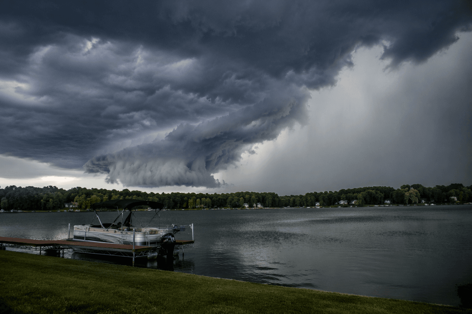
The bigger concern was the broader severe-weather setup the weather service highlighted for Tuesday evening into early Wednesday morning. Its Hazardous Weather Outlook called for a 3-out-of-5 severe weather risk, with the main threats listed as wind gusts of 60 to 75 mph or higher, hail up to golf-ball size and a possible tornado. The office also said storms in the Beltrami County area could produce additional rainfall and that some storms could be severe.
The threat matters especially in and around the Red Lake Reservation, which sits almost entirely within Beltrami County. That puts tribal communities and nearby towns squarely inside the watch area as storms move quickly through the region. Blackduck, a small Beltrami County city of 845 people in the 2020 Census, is about 24 miles northeast of Bemidji, so even limited tree damage or power interruptions could affect a community with few backup routes and limited margin for overnight disruption.

Residents across Red Lake, Redby and Blackduck faced the greatest risk before daybreak, when visibility is lowest and storms can be harder to spot. The weather service’s Skywarn program underscores why local reports matter in situations like this: trained observers are taught each year to recognize severe weather and report it as it develops, helping neighbors get a faster warning when storms turn dangerous.
This article was produced by Prism’s automated news system from verified source data, official records, and press releases, then run through automated quality and moderation checks before publishing. The system is built and supervised by the people who set the standards it runs under. Read our full AI policy.
Did this article answer your question?