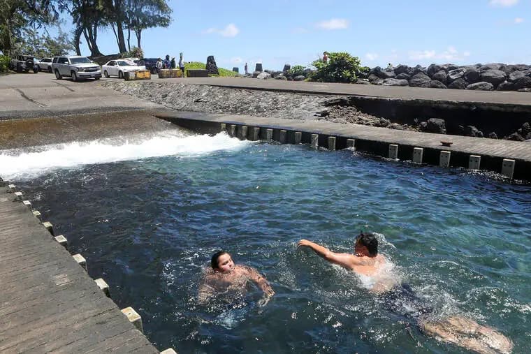
Ala Kahakai trail links Big Island history, culture and shoreline access
Ala Kahakai is a 175-mile coastal network across more than 200 ahupuaa, and access rules on its segments shape how Big Island residents reach shoreline and heritage sites.
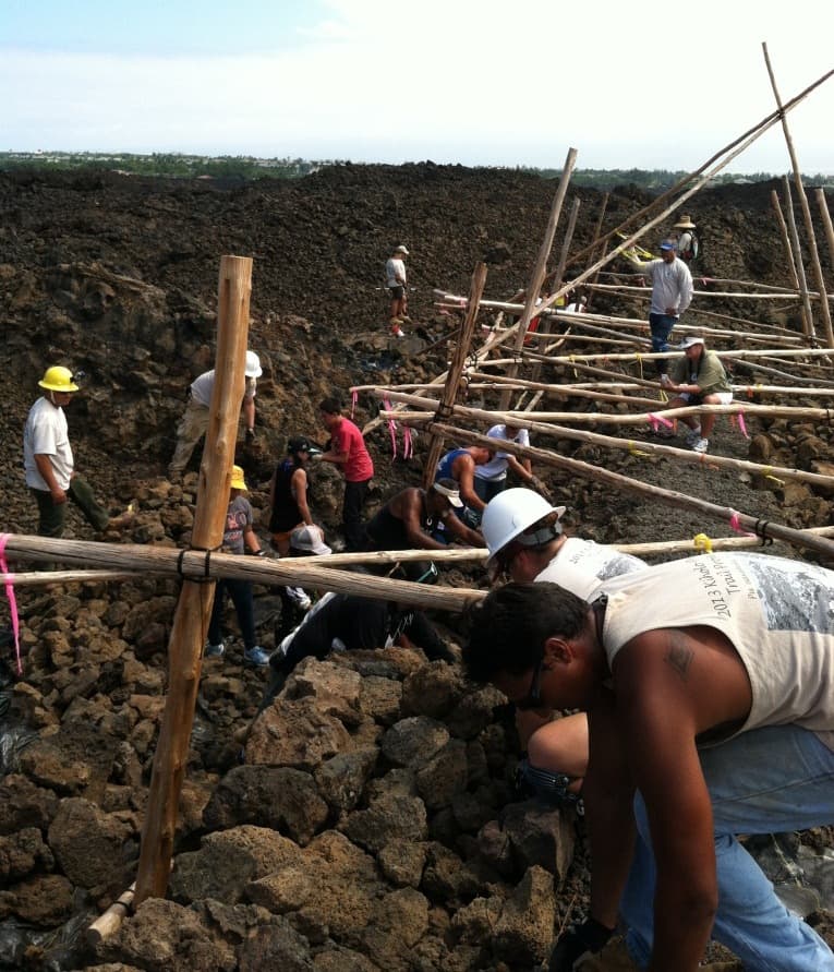
Ala Kahakai is not one long hike so much as a coastal system that still governs how people move along Hawaii Island. The trail corridor runs about 175 miles, crosses more than 200 ahupuaa, and links shoreline paths, inland connectors and historic places from Kona to Kohala. That makes it a practical access route, a cultural landscape and a land-use issue all at once.
What Ala Kahakai is and why it was created
The National Park Service established the Ala Kahakai National Historic Trail in 2000 to preserve, protect and interpret traditional Native Hawaiian culture and natural resources. A National Park Service planning document places its addition to the U.S. National Trails System on Nov. 13, 2000, while Hawaii Pacific Parks Association materials describe it as established on Nov. 14, 2000. However the date is framed, the purpose is the same: to recognize a shoreline corridor that still carries history, access and stewardship responsibilities.
The trail also fits the broader intent of the National Trails System Act, which was designed to promote preservation of and public access to historic resources. On Hawaii Island, that means a national designation built around local places that are still part of daily life, not a museum piece separated from the communities around it.
A trail network, not a single route
Ala Kahakai works as a network of segments, not as one continuous paved path. That matters for anyone planning a walk, a shoreline crossing or a short visit, because the trail can shift quickly from easier stretches to lava rock, beach walking, heat exposure, tide issues and uneven ground. The National Park Service treats it as a place where natural conditions such as geologic processes, soils, climate, soundscape, air quality and water resources all shape use.
- trail maps
- driving or walking directions to access points
- accessibility information
- current-conditions updates
For a practical visit, the key tools are straightforward:
Those resources are essential because one section may be passable while another is not, and the safest choice depends on the time of day, the weather, the tide and the user’s comfort level with rugged terrain. The trail is best approached as shoreline infrastructure with cultural meaning, not as a standard park loop.
Why the route matters to Hawaii Island history
The deeper value of Ala Kahakai lies in the way it explains the island’s older geography. National Park Service brochure material says Polynesians arrived via ocean trails around 1,500 years ago, and that arrival reshaped the west side of Hawaii Island, including plant and animal life. The same material ties settlement to the ahupuaa system, which organized land use for centuries and allowed island populations to live from the resources of each land division.
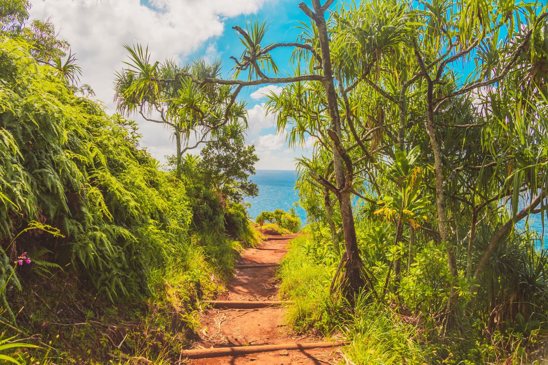
That history is visible in the trail’s layout. The corridor links communities, ancient travel routes, heiau, fishponds and other historic places across the island, showing how the coastline once functioned as a transportation system and a lived-in cultural landscape. The Ala Kahakai Trail Association describes Hawaii Island’s trail network as connecting communities mauka to makai, between ahupuaa and by channels across islands, which captures the way movement, fishing, ceremony and daily life were tied together long before modern roads.
The trail’s reach gives it local meaning in familiar places like Kona and Kohala. It also helps explain why shoreline access remains such a sensitive issue on Hawaii Island: when a path is open, it connects people to coastlines, historic sites and each other; when access is blocked or under review, a piece of that relationship disappears.
Stewardship, access and contested shoreline space
Ala Kahakai has been shaped by formal planning for years. National Park Service documents include a Comprehensive Management Plan and an Abbreviated Final Comprehensive Management Plan and Environmental Impact Statement dated October 2008, showing that the corridor has long been treated as a managed landscape rather than an informal trail. That kind of planning matters on an island where shoreline access, conservation and development often collide.
One of the clearest examples is Kauleolī in South Kona. The Trust for Public Land says it protected the 59-acre Kauleolī fishing village so the people of Hawaii can continue to walk the path of South Kona’s ancestors. That protection captures the trail’s public purpose in concrete terms: land preservation is not only about scenery or habitat, but about keeping a corridor open for cultural continuity and lawful access.
The trail also remains a live land-management issue. A 95-acre Kona section was still seeking community input in 2026, showing that the corridor continues to evolve through public review, not just historic designation. For Big Island residents, that is the part that matters most: the trail is still being negotiated section by section, with real consequences for shoreline movement and community use.
How to read the trail on the ground
The most useful way to approach Ala Kahakai is to think like a shoreline planner. A short visit can be enough to experience a small segment, while a longer outing may require careful checking of access, weather and terrain. Because the route is fragmented and conditions change, the safest and most useful habit is to start with the National Park Service’s maps and current-conditions information rather than assuming a segment will be open or easy.
That approach keeps the trail grounded in reality. Ala Kahakai is both heritage infrastructure and public access infrastructure, and on Hawaii Island those two roles are inseparable. The route still follows the edge where the island’s past and present meet, and every open segment reflects a decision to keep that connection visible.
This article was produced by Prism’s automated news system from verified source data, official records, and press releases, then run through automated quality and moderation checks before publishing. The system is built and supervised by the people who set the standards it runs under. Read our full AI policy.
Did this article answer your question?