Ala Kahakai trail preserves Native Hawaiian history across Hawaii Island
Ala Kahakai is a 175-mile coastal corridor where access, erosion, and stewardship shape how Hawaii Island’s heritage sites are reached and protected.

Ala Kahakai runs 175 miles along Hawaii Island’s shorelines, climate zones, and living cultural sites. Added to the National Trails System on November 13, 2000, it was created to preserve, protect, and interpret traditional Native Hawaiian culture and natural resources, while linking more than 200 ahupuaa and the wahi pana that still mark the island’s history.
What the corridor preserves
The trail connects ancient settlement sites with heiau, loko ia, petroglyphs, holua slides, and other places of deep cultural meaning. Hawaii’s earliest trails followed the natural contours of the land, with major prehistoric ala loa linking shorter coastal routes and mauka-makai paths that moved people between the shoreline and upland areas.
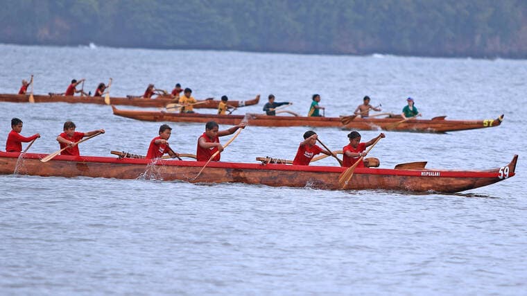
Ala Kahakai follows that older movement system more than a modern recreation route. It preserves the routes communities used as they lived, traveled, fished, farmed, and gathered across the coast. A shoreline walk on Hawaii Island can pass through several climate zones instead of one continuous landscape.
Where access already exists
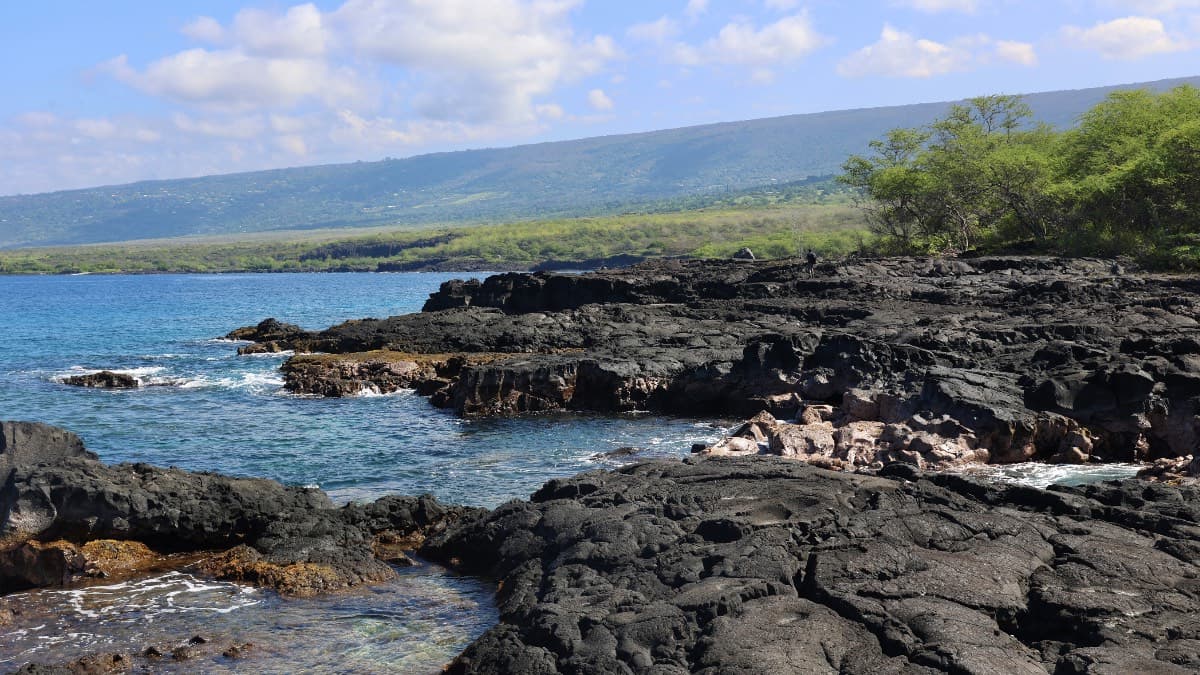
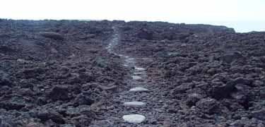
Some of the clearest public access is in the park units that already manage their own shoreline segments. Open sections can be found within Hawaii Volcanoes National Park, Kaloko-Honokōhau, Puuhonua o Hōnaunau, and Puukoholā Heiau. Those segments offer the most practical way to see how the corridor works on the ground, with trail surfaces that change quickly from āā to pāhoehoe, then to sand and stepping stones.
South Kohala is one of the strongest examples of the trail’s range. The route runs from the southern boundary of Puukoholā Heiau to Anaehoomalu Bay, crossing a stretch where beaches, resorts, and cultural sites sit close together but are tied by a much older travel pattern. A small section of the corridor also runs through Puukoholā Heiau National Historic Site, where the heiau itself was built in 1790-91 by Kamehameha I.
What is at risk along the route
Ala Kahakai is still incomplete. It is made up of segments rather than a single continuous path, and parts of the ancient and historic routes have already been lost to erosion, lava flows, earthquakes, and modern development. Once a segment disappears, the movement pattern, cultural context, and future access it carried can be lost with it.
The long-term goal is to preserve historic routes for eventual public use where active management is in place.
Who keeps the trail alive
The trail is still cared for by descendants, and that living stewardship is built into how the corridor is managed. The model is community-based, shared with the State of Hawaii, community partners, local families, and trail ohana, so the work is not limited to one agency or one park boundary. The Hawaii Department of Land and Natural Resources engages descendants and stakeholders from North Kohala to Kaū in planning.
The 2008 Final Environmental Impact Statement and Comprehensive Management Plan pushed that logic further by favoring development of a comprehensive ahupuaa trail system. The management vision is to rebuild a system that reflects the way Native Hawaiian travel once linked coast and uplands, rather than leave the corridor as a loose collection of disconnected pieces.
How to read the trail on the ground
The trail changes quickly from one segment to another, and the footing, access, and cultural context can shift just as fast. Local knowledge and respect for managed sections are essential.
- Expect uneven surfaces, including aāā, pāhoehoe, sand, and stepping stones.
- Look for heiau, loko ia, petroglyphs, and other wahi pana as part of the corridor’s story, not as side attractions.
- Treat erosion scars, lava-affected sections, and closed areas as signs of active stewardship, not empty gaps.
- Pay attention to park boundaries and managed segments, since access is uneven across the island’s shoreline.
The trail’s 25th anniversary in 2025 marked how much had been preserved and how much remained unfinished. Ala Kahakai still depends on descendants, agencies, and local families to hold together a route that connects North Kohala, South Kohala, and Kaū with the island’s older coastal and mauka-makai travel network.
This article was produced by Prism’s automated news system from verified source data, official records, and press releases, then run through automated quality and moderation checks before publishing. The system is built and supervised by the people who set the standards it runs under. Read our full AI policy.
Did this article answer your question?