Guide to 10 Big Island County Day Hikes: Rainforest to Summit
Local residents will learn practical details, safety advice, and community impacts for 10 day hikes across Big Island County, from rainforests to summits.
Hawaiʻi Island offers day hikes that move from rainforest plunges to summit-edge panoramas. Below are ten well-known routes with distances, difficulty, key features, safety notes, and the local significance each trail holds for communities, ecosystems, and county planning.
1. ʻAkaka Falls Loop (Hāmākua Coast)
A short, paved 0.4-mile loop that delivers a close view of the 442-foot ʻAkaka Falls through dense rainforest vegetation and viewing platforms. Because it’s paved and brief it’s heavily used by both residents and tour visitors; arrive early to avoid crowds and slippery boardwalks. The trail’s high visitation requires steady upkeep, local park staffing and volunteer groups manage erosion and signage, which helps sustain small business activity in nearby Hāmākua towns that rely on visitor spending. Wear slip-resistant shoes as paths can be wet and muddy.
2. Pololū Valley Lookout and Ridge Trail (North Kohala)
Lookout to valley floor and back is roughly 2–3 miles round-trip with a steep descent and a strenuous return climb; expect a moderate-to-strenuous rating. The ridge and black-sand beach vistas are spectacular but the steep switchbacks demand planning, bring water, sun protection, and allow extra time for the climb back. For North Kohala, Pololū is both a cultural landscape and an economic draw; safe access preserves local heritage sites and supports small-scale guiding and transport services. Avoid cliffs in high winds.
3. Waipiʻo Valley Lookout to Hiʻilawe Falls view (Hāmākua Coast)
From lookout to valley floor ranges about 3–6 miles round-trip depending on route; conditions are generally moderate but can be muddy and slippery. The valley’s taro terraces and seasonal waterfalls are culturally significant, respect private taro loʻi and check access because the road to the valley floor is sometimes restricted. When access is open, visitor impacts (parking, waste, trail wear) require coordination between County Parks and landowners to protect agricultural production and wahi kapu areas. Wear sturdy footwear for valley-floor muck.
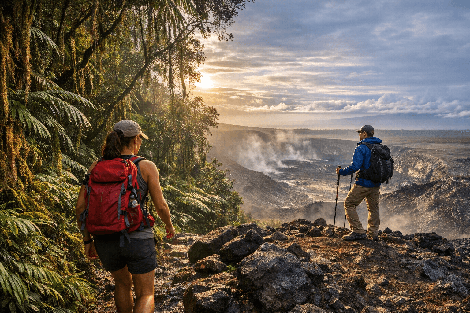
4. Mauna Kea Visitor Information Station short trails (summit access requires acclimation)
Short interpretive trails around the VIS offer easy-to-moderate walks at high elevation with stark, high-country views and nighttime astronomy opportunities at the station (not the summit). Conditions are cold, windy, and thin air, dress in warm layers, acclimate gradually, and understand that summit roads require high-clearance 4WD vehicles. Policy choices about access, visitor education, and road maintenance here affect emergency-response costs and the balance between tourism and cultural-land stewardship. Check altitude and vehicle requirements before heading up.
5. Kīpuka Puaulu (Bird Park) and surrounding trails (Hilo side)
Variable loops through native forest offer easy to moderate birdwatching opportunities close to Hilo. The kīpuka supports native avifauna and local restoration projects, staying on posted trails helps protect seedlings and ongoing volunteer planting efforts. For the Hilo community, the park is a living classroom that supports ecological tourism and educational programs, helping diversify local employment beyond coastal tourism. Follow signage and avoid restoration plots.
6. South Point (Kaʻula) coastal trails and cliffs (Kaʻū)
Coastal trails around the southernmost U.S. point are variable and mostly moderate, with exposure near dramatic cliffs and strong trade winds. No services exist on-site, so bring ample water and sun protection; be extremely cautious near cliff edges and respect access signage. South Point has cultural and subsistence significance for Kaʻū communities and draws visitors who contribute to the local economy but also increase maintenance and safety demands. Plan for limited cell coverage.
7. Pololū–Ainahou coastal ridgelines (North Kohala)
Ridges between Pololū and Ainahou vary from moderate to strenuous and traverse rugged coastline, remote beaches, and archaeological sites. These routes reward experienced hikers but require good navigation and contingency planning, cell coverage can be spotty, so inform someone of your plans and expected return time. Protecting archaeological sites requires staying on trails; cooperative land stewardship preserves both heritage and the small-business benefits of guided cultural hikes. Bring extra gear for rugged terrain.
8. Kaumana Caves (lava tube near Hilo)
Short explorations inside accessible lava-tube sections present moderate difficulty due to uneven floor and low ceilings; bring a reliable light source and sturdy shoes. Parts of the tube require helmets or cautious crawling; check for closures and access rules before entering. The lava tube is a geological asset for Hilo’s nature tourism and science education, but unmanaged entry can create rescue incidents and damage fragile formations. Use headlamps and observe posted guidance.
9. ʻImiloa to Waiākea Uka ridge routes (Hilo hinterlands)
Moderate ridge routes moving through cloud-forest fragments and rolling agricultural hills provide varied terrain and strong landscape views. Some paths cross private lands, respect posted signage and obtain permission where required to avoid trespass issues and to support cooperative community access arrangements. These trails connect residential and farming communities, so careful use maintains local access and reduces conflicts that could prompt stricter closures. Be prepared for wet, muddy sections.
10. Makalawena Beach from Kekaha Kai State Park (Kona coast)
Approximately 1.5–2 miles one-way over old lava fields, moderate in difficulty, leading to a white-sand crescent favored for snorkeling and fewer crowds. The lava crossing makes sturdy footwear essential; there are no facilities at the beach so carry water and sun protection and pack out what you bring. Preserving Makalawena’s low-impact character depends on visitor discipline and park enforcement; unmanaged use increases cleanup costs and can harm coral and shoreline habitat. Expect hot, exposed walking across lava.
- Check local conditions and park advisories before you go, weather and road closures change quickly across microclimates.
- Leave no trace: pack out waste, stay on established trails, and honor wahi kapu and private property.
- Carry navigation aids, headlamps, first-aid kits, and extra water; remote hikes may require satellite locators.
- Respect local customs and restoration work, volunteer groups and county crews shoulder maintenance costs that visitor behavior can increase or reduce.
General safety and community considerations
When to hike and permits Dry months (spring–fall) generally provide more consistent trails, but coastal heat may be intense; after heavy rains, avoid steep or stream-crossing routes. Some roads and valley accesses require permits or are seasonally closed, confirm with state parks, county parks, or landowners before traveling.
Closing thought Plan like a local: match the trail to your fitness and gear, respect cultural and ecological boundaries, and treat volunteer and county resources as shared investments, your choices on the trail directly affect community safety, long-term access, and the island’s outdoor economy.
This article was produced by Prism’s automated news system from verified source data, official records, and press releases, then run through automated quality and moderation checks before publishing. The system is built and supervised by the people who set the standards it runs under. Read our full AI policy.
Did this article answer your question?