Hilo residents invited to shape Hilo Bay resilience plan Saturday
Hilo residents will get their first public say on a bay resilience plan that could steer future flood fixes, restoration work and watershed spending across 470 square miles.

Hilo residents will have a first chance to weigh in on the long-term future of Hilo Bay when the County of Hawaii hosts a Community Listening Fair on Saturday, May 23, from 10 a.m. to 4 p.m. at the Aupuni Center Conference Room, 101 Pauahi St., Suite 1, Hilo.
The event is part of the Hilo Bay Resilience and Watershed Management Plan, a county effort led by the Department of Research and Development and backed by a $2 million National Fish and Wildlife Foundation grant with U.S. Department of Defense funding. County officials say the goal is to build a data-informed roadmap for stewarding the state’s largest watershed area, then turn that work into a community vision for Hilo Bay and the lands that feed it.
Mayor Kimo Alameda has said every voice matters in the process and urged residents to share what Hilo Bay means to them. The county says the listening fair will include interactive activity stations and facilitated feedback, with refreshments provided. People who need disability accommodations were asked to contact Beth Dykstra by May 18, 2026.
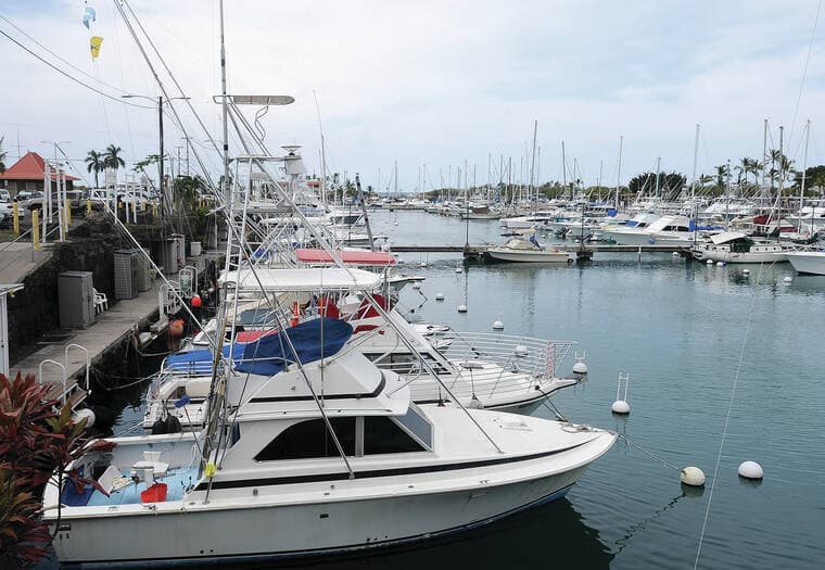
The planning effort carries real stakes for East Hawaii because Hilo Bay has struggled with impaired water quality for decades. County background material says an earlier 2005 Hilo Bay Watershed-Based Restoration Plan was not approved as a watershed management plan largely because of insufficient data. The U.S. Army Corps of Engineers later said more technical studies, including water quality monitoring, were needed to finish a data-informed plan. In its Hilo Bay PAS work, the Corps identified terrigenous sediments and nitrogenous compounds as the main pollutants affecting the bay, with heavy metals such as arsenic as a secondary concern.
The Corps also said pollutants reach the bay through natural surface drainage, stormwater discharge and possibly groundwater discharge. Its study found the Hilo breakwater helps protect Hilo Harbor but increases pollutant residence time in the bay, while concluding that reducing watershed pollution should come first.
County draft material says the watershed covers about 470 square miles from Mauna Kea and Mauna Loa to Hilo Bay, with about 69 percent of the land state-owned and annual rainfall ranging from roughly 75 to 300 inches. The same draft says Hilo Bay and its sub-watersheds have been impaired for decades, affecting endangered habitats and local communities. It also says the new plan will incorporate EPA Section 319 eligibility requirements and guide future resilience and infrastructure work as Hilo adapts to climate change and population growth.
Hydraulic models are being developed for Honolii Stream, Wailuku River and Alenaio Stream, with flood scenarios ranging from 10-year to 500-year return periods. The county says Lynker Corporation is supporting the project, while a volunteer Community Advisory Committee made up of community members, nonprofit organizations, educational institutions and government agencies is advising the work. The listening fair is the public kickoff, but the county’s next decisions on modeling, priorities and funding will help shape what comes after.
This article was produced by Prism’s automated news system from verified source data, official records, and press releases, then run through automated quality and moderation checks before publishing. The system is built and supervised by the people who set the standards it runs under. Read our full AI policy.
Did this article answer your question?