Kealakekua Bay park blends history, snorkeling and cultural stewardship
Kealakekua Bay offers snorkeling, history and scenic views, but access rules, reef protections and cultural obligations shape every visit.
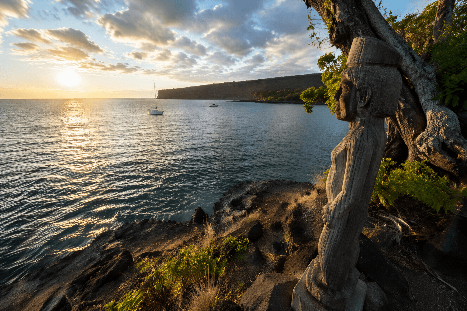
Kealakekua Bay State Historical Park is small enough to miss on a map, just 4.0 acres, but the place carries far more than its footprint suggests. South Kona visitors come for clear water, reef life and views of Hikiau Heiau and the Captain Cook monument across the bay, yet every part of the shoreline sits inside a protected landscape that demands restraint as much as it invites use.
A small park with a large historical burden
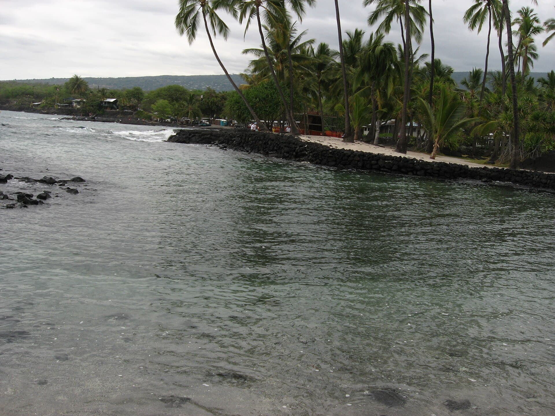
The park sits about 12 miles south of Historic Kailua Village and charges no entrance fee. It also gives visitors the basics needed for a day on the coast, including a picnic pavilion, restrooms, scenic viewpoints and wildlife viewing. That convenience is part of the appeal, but the setting is what makes it different from a typical beach stop: Hawai‘i State Parks identifies Kealakekua Bay as the site of the first extensive contact between Hawaiians and Westerners, after Captain James Cook’s ships Discovery and Resolution entered the bay in January 1779.
That history is not abstract. The National Register file describes Kealakekua Bay as a sheltered bay with a major concentration of archaeological and historical sites at Kaawaloa, while the south side at Nāpōopoo still retains Hikiau Heiau. From the park, those places are not just points on a map. They are part of the view, and part of the responsibility that comes with standing in a place where worship, diplomacy, trade and conflict all left marks in the land.
What the bay protects, and why the rules matter
The state began formal protection in 1967, when 180 acres surrounding the bay were designated a historical park. The area was later listed on the National Register of Historic Places in 1973 as the Kealakekua Bay Historical District. The Department of Land and Natural Resources says the state acquired park lands between 1967 and 1982 to preserve the bay’s historical, cultural, natural and scenic values, and a later executive order set aside the bay, Nāpōopoo Landing and surrounding park land for public park purposes.
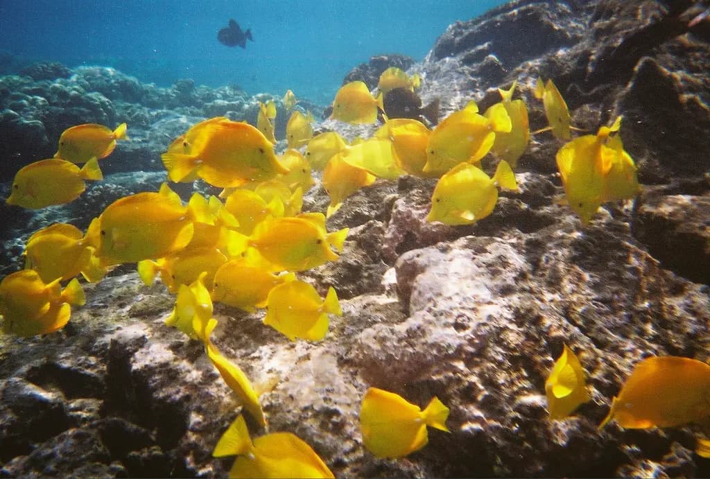
Those protections reach underwater as well. Kealakekua Bay is formally regulated as the Kealakekua Bay Marine Life Conservation District, which extends from the highwater mark seaward to a line from Cook Point to Manini Beach Point. In that district, fishing, taking or injuring marine life, taking or altering sand, coral or other geological features, and fish feeding are prohibited. The rules are not decorative; they are the reason the bay still functions as a living marine environment rather than a depleted recreational zone.
What those marine rules mean in practice
- Do not touch, stand on or remove coral, sand or rock formations.
- Do not feed fish. The bay’s rules prohibit it, and feeding changes animal behavior in ways that can damage the reef.
- Do not fish or harvest marine life inside the conservation district.
- Stay aware of where you are in the water. The protected area begins at the highwater mark and runs offshore to the Cook Point and Manini Beach Point boundary line.
- Use only approved commercial kayak operators. State Parks requires commercial kayak operators in Kealakekua Bay State Historical Park to apply for a Rental Vessel Special Use Permit, and each kayak vessel needs a registered decal.
Access is part of the management strategy
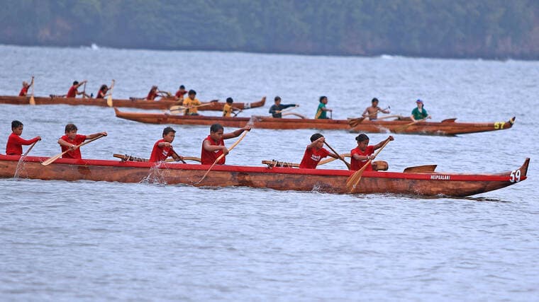
Kealakekua Bay draws heavy use because it is both beautiful and relatively accessible, but access is not uniform across the shoreline. Kaawaloa Cove at the bay’s northern boundary can be reached only by boat, which helps explain why the area remains a destination for tours and guided outings rather than a casual walk-in spot. That limited shoreline access also means commercial activity has to be managed closely, especially when paddlers, snorkelers and sightseers are all converging on the same small bay.
Pressure on the site is not theoretical. A local report on the 2023 land-board approval said visitor counts in Kealakekua Bay and Kaawaloa Cove ranged from 250 to 400 people per day in 2019. For a place with a compact shoreline, a fragile reef and major cultural sites, that level of traffic helps explain why parking, kayak access and operator permits have become part of the stewardship conversation instead of afterthoughts.
Public input shaped the management timeline
The bay’s master-planning history shows how much community involvement has influenced the site’s management. DLNR materials say public meetings were held in 2009, 2010 and 2016, and a Draft EIS meeting was held on April 14, 2018. The final master plan was delayed by community-based undertakings, including the creation of the Kealakekua Cultural Advisory Ohana after testimony and a Cultural Impact Assessment.
That kind of process matters because Kealakekua is not just a recreation area. It is a place where residents, descendants, cultural practitioners, agencies and visitors all have a stake in how use is balanced against protection. The planning record shows that local voices did not merely comment on the bay, they changed the pace and shape of the decisions around it.
A living reef still depends on active stewardship
The Nature Conservancy says the bay was likely populated between 900 and 1300 A.D. and later became a ruling center for the Kona coast, with fish abundance tied to the konohiki system. That historical ecology still matters today because the bay’s reef fish populations remain supported in part by its MLCD status, which limits harvest and protects habitat from the most direct forms of take.
The stewardship network around the bay is broad. The Nature Conservancy describes a partnership that includes lineal descendants, landowners, resource managers, community members, agencies, nonprofits, researchers and ecotourism companies. Hoāla Kealakekua Nui, a community restoration, education and outreach group focused on preserving the bay, has also become part of that work. DLNR said the group was instrumental in planning, design and implementation of a coral restoration project in Kealakekua Bay, and a 2026 local report said a second annual invasive-species removal effort lined up with the Kealakekua Bay Community Action Plan adopted in 2022.
For visitors, the practical lesson is straightforward: the bay is open, but it is not unmanaged. Snorkeling here comes with the chance to see reef life in a protected setting, the chance to stand near one of Hawaii Island’s most important historical districts, and the obligation to leave the place as intact as it was found. Kealakekua Bay works because use and stewardship are enforced together, and that balance is what keeps the bay readable as both a destination and a sacred, protected site.
This article was produced by Prism’s automated news system from verified source data, official records, and press releases, then run through automated quality and moderation checks before publishing. The system is built and supervised by the people who set the standards it runs under. Read our full AI policy.
Did this article answer your question?