Offshore Kaʻū Earthquake Upgraded to Magnitude 4.4, Revised From Initial 4.2
A quake 8 miles from Pāhala hit magnitude 4.4, upgraded from 4.2, drawing 155+ felt reports from across Hawaiʻi Island within 30 minutes.
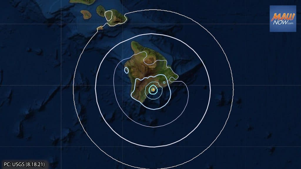
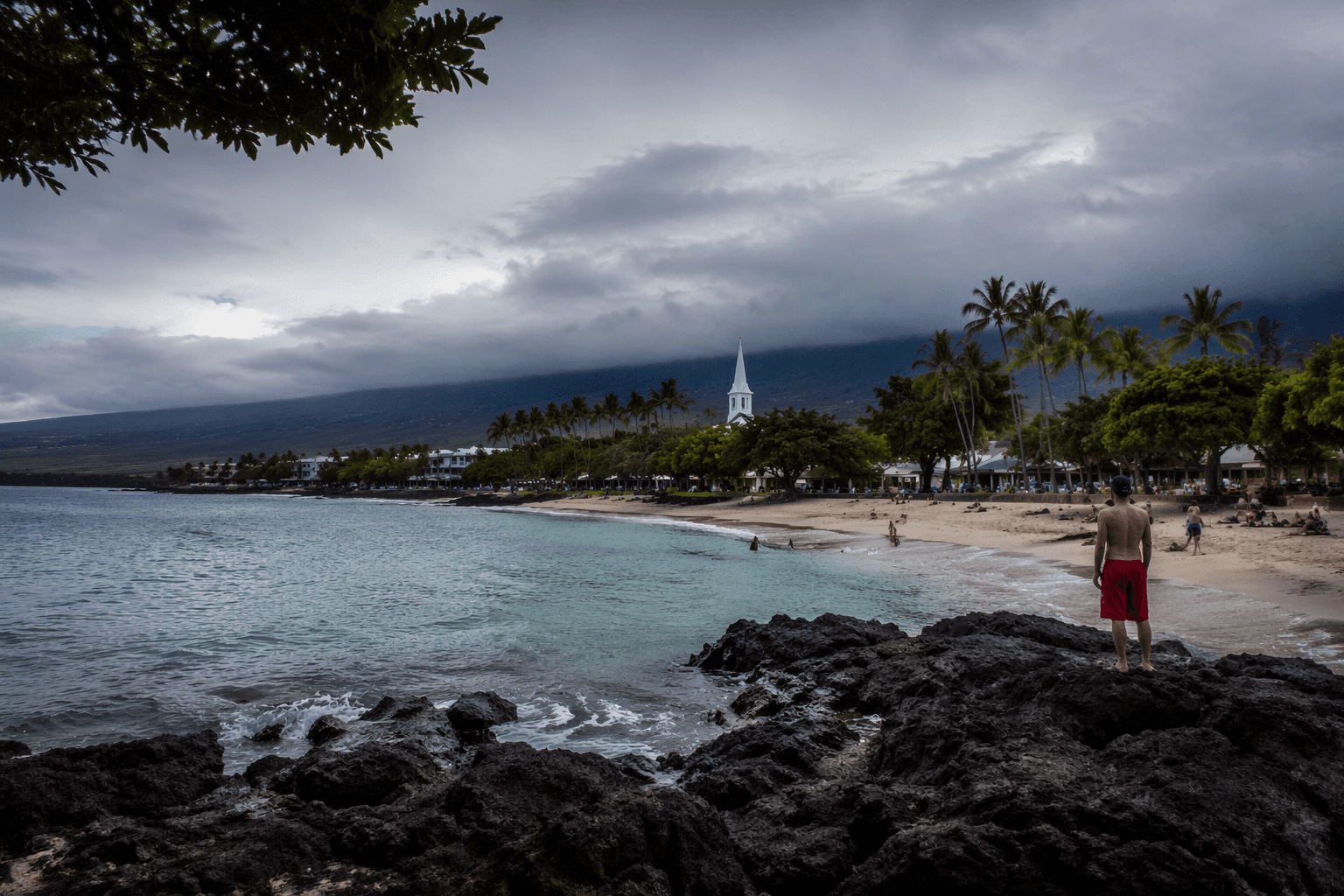
A magnitude-4.4 earthquake struck under the ocean south of the Kaʻū district at 5:16 p.m. Thursday, centered about 8 miles east-southeast of Pāhala and roughly 44 miles south-southwest of Hilo at a depth of 18 miles below sea level, according to the U.S. Geological Survey and the Hawaiian Volcano Observatory.
Hawai'i County Civil Defense had initially reported the temblor as a magnitude-4.2 shortly after 5 p.m., but HVO and USGS later revised the figure upward to 4.4. The Pacific Tsunami Warning Center on Oahu determined the quake did not generate a tsunami threat for the Big Island or the State of Hawaiʻi.
More than 155 felt reports came in within the first half-hour after the shaking, with responses reaching as far north as North Kohala. The Modified Mercalli intensity scale rated the event at IV, described as light shaking, with no damage to buildings or infrastructure expected based on that intensity level.
The quake had no apparent impact on either Mauna Loa or Kīlauea, the Hawaiian Volcano Observatory reported. "This earthquake is part of the seismic swarm under the Pāhala area, which has been going on since 2019," the Observatory stated. "Earthquakes in this region have been observed at least as far back as the 1960s."
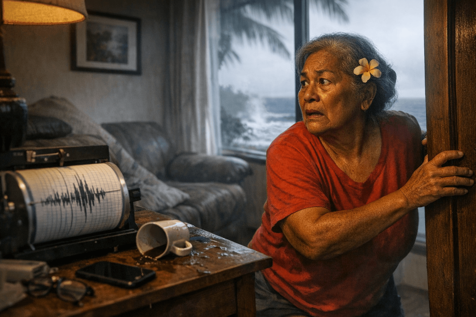
Hawaiʻi County Civil Defense urged anyone who felt strong shaking to inspect their property. "If the earthquake was strongly felt in your area, check for any damages, including but not limited to structural and gas, water, and electrical utilities," the agency advised, adding that aftershocks remain possible in the coming days to weeks.
The Hawaiian Volcano Observatory said it continues to monitor Hawaiian volcanoes for any changes.
This article was produced by Prism’s automated news system from verified source data, official records, and press releases, then run through automated quality and moderation checks before publishing. The system is built and supervised by the people who set the standards it runs under. Read our full AI policy.
Did this article answer your question?