USGS: Kilauea summit shows subtle shifts near Halemaumau hazard zone
Tiny quakes and ground shifts under Halemaumau are a warning that Kīlauea can change fast, even while the summit eruption is paused.
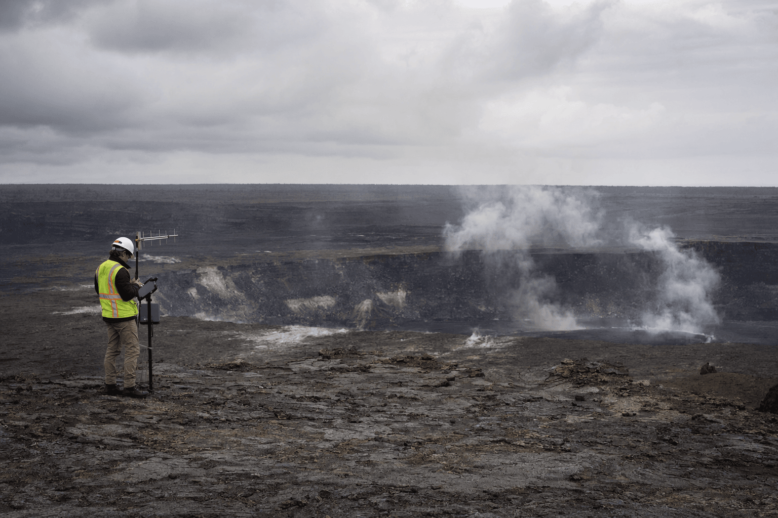
Shallow earthquakes and subtle ground deformation under Halemaumau’s south rim have become the latest sign that Kīlauea’s summit can turn quickly, even when lava is not fountaining. The U.S. Geological Survey’s Hawaiian Volcano Observatory said the movement highlights the dynamic and hazardous nature of the closed area inside Hawaii Volcanoes National Park.
The volcano was in an advisory state on May 1, with the Aviation Color Code at Yellow and the summit eruption paused. USGS forecast another fountaining episode could begin between Tuesday, May 5, and Saturday, May 9. That matters for anyone planning a visit to the park or traveling near the summit, because the same system that pauses for days can restart abruptly.
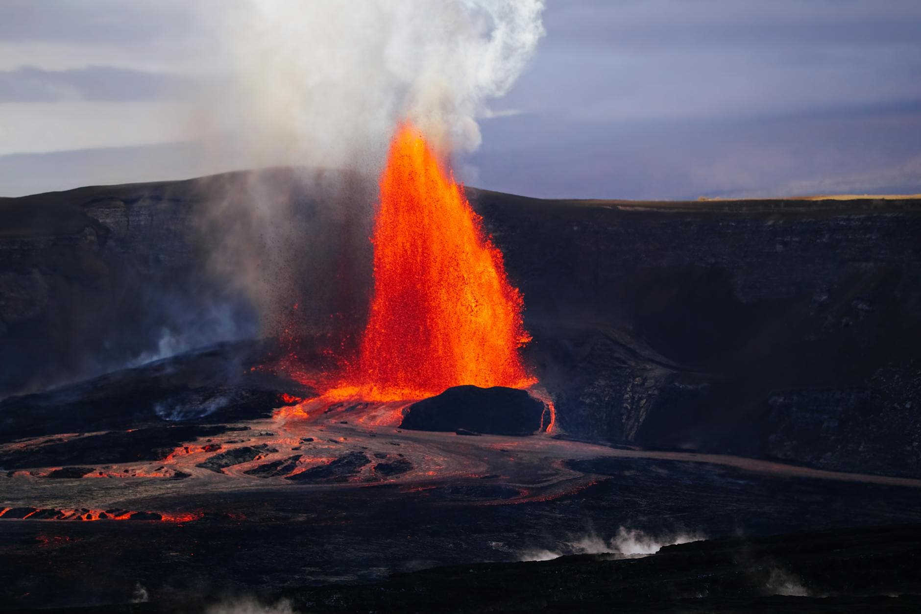
The latest unrest followed Episode 45, which began at 1:34 a.m. HST on April 23 and ended at 10:01 a.m. that same day. The fountains reached about 900 feet, or 270 meters, and USGS counted 96 small earthquakes around the summit during that episode, all smaller than magnitude 2.0. Most were within Halemaumau crater and south and southwest of the caldera, underscoring how active the summit remains beneath the surface even between eruptions.
USGS also reported a separate swarm of 15 shallow earthquakes on April 9, during the final hours of Episode 44, about 0.6 to 1.2 miles, or 1 to 2 kilometers, beneath the south rim of Halemaumau. Most were too small to be felt, though several were felt by HVO staff monitoring from the crater rim. Scientists said the recent shallow quake pattern and localized deformation are not directly like the warning signs before summit eruptions in the 1970s and 1980s, but they still show the summit is moving.
The practical risks are not abstract. The National Park Service closed Kīlauea summit on March 10 because of hazardous tephra and shut Highway 11 between mile markers 24 and 40. On March 24, park officials said the eruption had already produced 43 and counting summit episodes, all within Hawaii Volcanoes National Park. USGS says the eruption, which began December 23, 2024, has now produced more than 35 episodes in its first year, a pattern that keeps the summit in a state of frequent change.
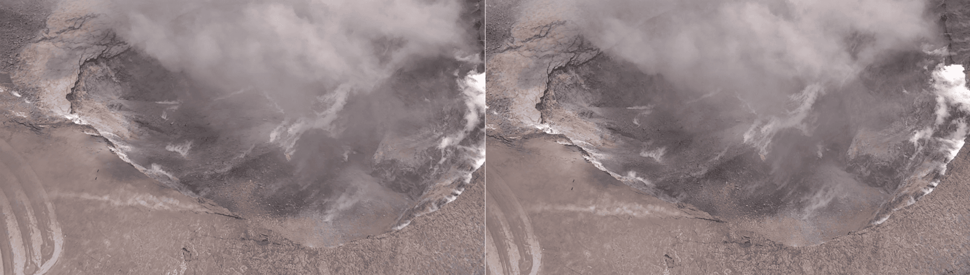
A new south-rim camera, V3cam, was deployed on December 19, 2025 with park permission to watch Kaluapele and Halemaumau from the south rim. USGS says that view looks into an area that is off-limits to the public because of significant volcanic hazards, a reminder that the first changes if conditions worsen would likely show up in the summit crater itself, not miles away in town. Seismicity and deformation remain low in the East Rift Zone and Southwest Rift Zone, while summit sulfur dioxide emissions are expected to stay in a typical range of 1,000 to 5,000 tonnes per day during the pause.
This article was produced by Prism’s automated news system from verified source data, official records, and press releases, then run through automated quality and moderation checks before publishing. The system is built and supervised by the people who set the standards it runs under. Read our full AI policy.
Did this article answer your question?