Buena Vista County drainage system protects farms, cuts runoff and erosion
A Storm Lake drainage fight shows how Buena Vista County’s districts shape repair bills, flood risk and who pays when water moves through farms and towns.

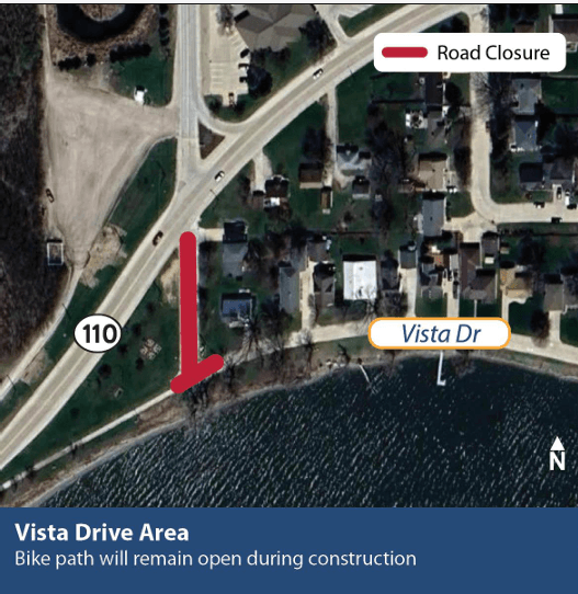
Near Expansion Boulevard and Tyson Foods’ feedmill site in Storm Lake, Drainage District No. 13 left Buena Vista County trustees weighing a $655,000 repair, a $1.5 million improvement and a $2.4 million upgrade. In Buena Vista County, drainage decides where water goes, who pays to move it, and how much flood risk stays on the land or spills into roads, towns and downstream rivers.
Who controls the system
Buena Vista County has 159 drainage districts, and the Board of Supervisors serves as trustee for all of them. Drainage districts are legally organized to build and maintain drainage outlets or levee embankments so land can be protected from flooding. In practical terms, that means drainage here is not private machinery sitting on one farm. It is county-governed infrastructure with legal authority behind it.
Iowa law gives county boards of supervisors the power to establish drainage districts, levees, ditches, drains, watercourses and settling basins when they serve public utility or public health, convenience or welfare. The same legal framework also allows two or more contiguous landowners to petition a county board to create a district. That makes drainage a public system built around private land, with the county acting as the organizing authority when individual parcels need a shared outlet.
The county’s drainage office is shared with Calhoun and Sac counties, another sign that this work often crosses county lines in both staffing and accountability. The drainage engineer’s office keeps the maps and records for the districts, so the system is traceable rather than hidden. For landowners, that means the question is never just whether a tile line works on one field, but which district governs the outlet, who the trustees are and what obligations follow.
What drainage changes on the ground
Drainage in Buena Vista County supports higher yields, more days available for planting and harvesting, improved soil structure, less runoff and reduced erosion. It affects whether a field can be worked after a rain, how much topsoil stays in place, and how much standing water lingers near a lane, culvert or county road.
The county also makes the system visible through township maps. Drainage in Buena Vista County is broken into mapped districts, district by district, across the landscape.
If a ditch backs up or an outlet fails, the district map shows who is inside the system and whose land, roads or nearby development may be affected. In a county where farms sit beside growing places like Storm Lake, drainage decisions can alter how water moves past a township road, around a city edge or toward a shared outlet.
Why District No. 13 matters now
On December 3, 2025, trustees tabled action, approved a $25,000 preliminary survey and reclassification, and sought clarification from Tyson on a proposed “simple fix.” Three engineering paths were under consideration: a $655,000 repair, a $1.5 million improvement and a $2.4 million upgrade.
The most expensive option could cost some landowners as much as $8,000 per acre, more than half the county’s average farmland market price. When bills are measured that way, drainage decisions can shape whether repairs happen, how they are financed and how much strain falls on the people whose land sits inside the district.
A district outlet that once mainly served farmland can become entangled with a city street like Expansion Boulevard, a feedmill site, and the drainage needs of nearby development. In that corridor, the county is balancing land use, public works and private cost-sharing at Expansion Boulevard and Tyson Foods’ feedmill site.
The watershed reaches far beyond the county line
Drainage choices in Buena Vista County do not stop at the county border. The North Raccoon River originates near Marathon in Buena Vista County, and the broader Raccoon River basin drains about 3,640 square miles across 14 counties. Water that leaves a field through a district outlet can move into a larger system that carries local decisions downstream for miles.
That downstream reach is one reason Buena Vista County appeared in the Des Moines Water Works litigation. The case identified Buena Vista County and Sac County as trustees for certain drainage districts, including joint trusteeships, and described the Raccoon River basin as draining portions of seventeen Iowa counties.
Iowa’s drainage law has roots in the mid-1800s, the first documented drain tile in the state was installed in 1868 at Iowa State in Ames, and the modern shape of drainage district law took form in 1884.
Where to start when you need answers
The county’s drainage engineer office is the best local starting point because it holds the maps and records for the districts. That is where you find whether a parcel sits inside a district, which township map applies and what outlet or levee system is tied to the land. For anyone weighing repairs, buying property or tracking a drainage dispute, the relevant facts are already organized by district and by township.
This article was produced by Prism’s automated news system from verified source data, official records, and press releases, then run through automated quality and moderation checks before publishing. The system is built and supervised by the people who set the standards it runs under. Read our full AI policy.
Did this article answer your question?