Cleveland County growth plan explains rural preservation and development zones
Cleveland County’s land-use map draws a clear line between farmland, suburban growth, and denser development. The county’s 2021 plan and zoning code show why one parcel gets preserved while another is pushed toward roads, utilities, and subdivisions.
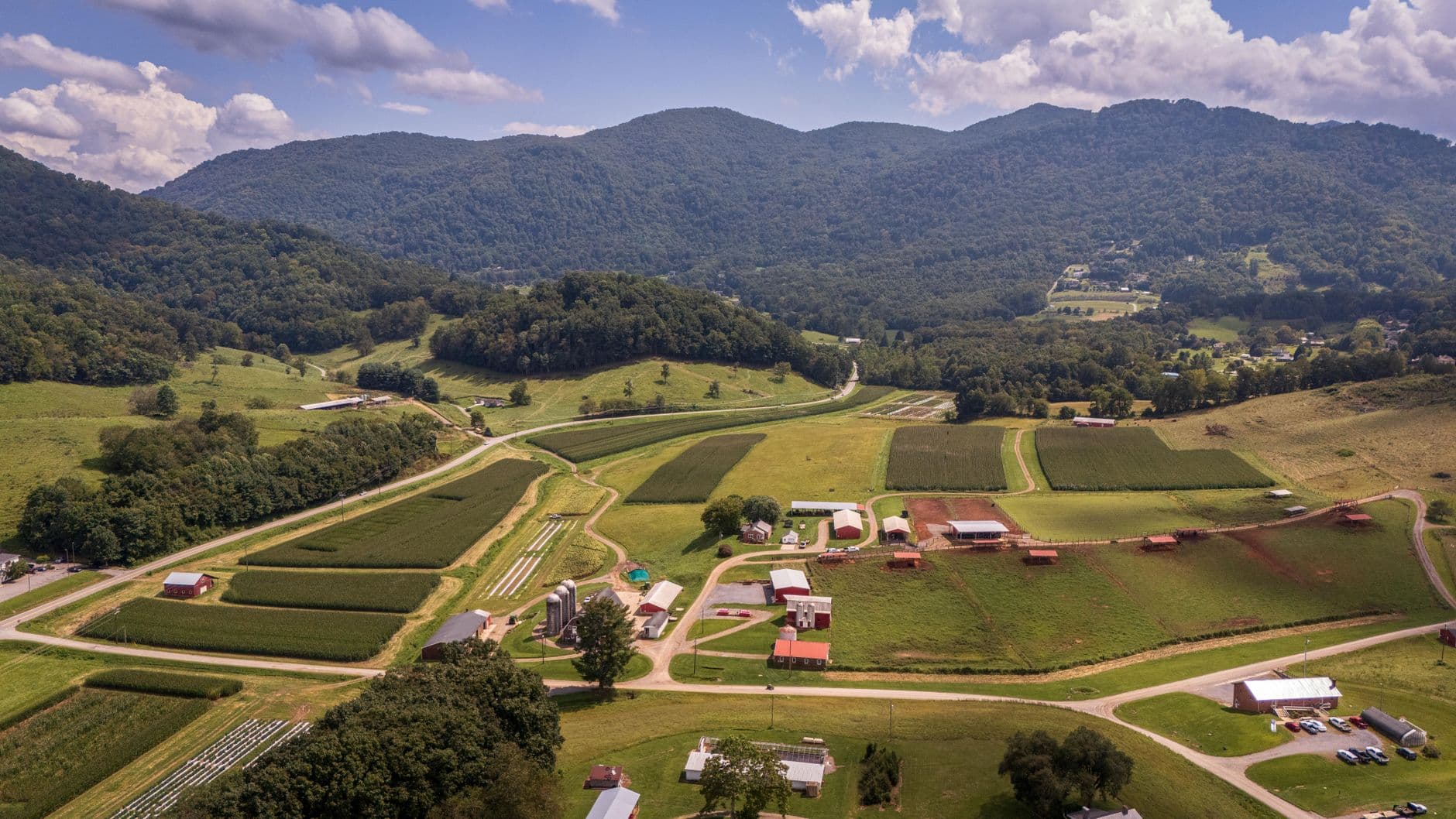
Adopted Dec. 7, 2021, Cleveland County’s Comprehensive Land Use Plan is the rulebook behind decisions that shape roads, subdivisions, and the future of farmland across the county. It gives residents a plain way to read where the county expects housing and commercial pressure, and where it wants rural land to stay rural.
What the 2021 plan actually does
The adopted plan file identifies Cleveland County Benchmark Planning as the preparer. Its acknowledgments and steering committee show the document was built with both elected leadership and local planning voices in the room.
County officials and staff use the plan when they talk through growth pressure in Shelby, Kings Mountain, Waco, the unincorporated communities, and the farm country between them. A rezoning request, a subdivision sketch or a commercial site proposal can look like a one-off decision on paper, but the land-use plan gives those calls a broader direction.
How the county divides land
The plan’s growth categories are Rural Preservation, Primary Growth and Secondary Growth, and those labels do real work when someone wants to know why one stretch of land is treated differently from another.
Rural Preservation is the county’s signal that agricultural land, natural resources and low-density character should be protected. Primary Growth is where the county expects the most intense uses to go, making it the clearest target for denser housing, more commercial activity and the infrastructure that usually follows. Secondary Growth sits in the middle, allowing development but in a less concentrated way than the primary areas.
One parcel may be left in pasture or timber while another nearby is steered toward subdivision streets or a business corridor. A request that seems routine in one part of the county can run into more resistance in another because the county has already labeled the land according to its long-term role.
Why these labels affect daily life
These growth zones influence how subdivision patterns unfold, where commercial development clusters and how far utilities, roads and other services may need to stretch to support new building. In the rural parts of the county, the plan’s preservation language is aimed at keeping farm operations, open land and low-density living from being crowded out by spillover development.
In places like Shelby, Kings Mountain and Waco, the same plan points growth pressure toward areas where the county expects more intensity and more demand on roads, water and sewer systems. Residents feel that in traffic on familiar routes, pressure on local infrastructure and the changing look of neighborhoods that sit near growth boundaries.
The Unified Development Code is the enforcement tool
The county does not rely on the plan alone. Cleveland County’s Unified Development Code serves as the zoning code and subdivision regulations, which gives the county a formal regulatory tool to carry out the land-use framework. That is where the broad map becomes enforceable rules about setbacks, permitted uses, lot layout and whether a proposed project fits the county’s long-term direction.
For residents, that means the plan and the code work together. The land-use plan shows the county’s intended future, while the Unified Development Code turns that intent into the zoning and subdivision standards used in day-to-day review. If a landowner wants to build a new house cluster, open a business or divide acreage, the question is not only whether the idea is possible, but whether it matches the area’s designated role in the county plan.
How planning and zoning decisions are supposed to work
A CMPDD story map for Crystal Springs says, “The Land Use Plan is a vital part of the Comprehensive Plan since zoning decisions are required by State law to be based on the adopted Land Use Plan.”
The adopted plan is the legal and policy baseline that connects future zoning choices to an adopted vision, rather than leaving those decisions to case-by-case judgment with no countywide map behind them. For anyone trying to understand why a rezoning request advances in one area and stalls in another, that link between the adopted plan and zoning law is the key.
Where residents will feel the effects most
In Shelby, Kings Mountain and Waco, the county’s growth map helps steer where denser development belongs and where utilities may eventually need to follow. In the unincorporated communities and surrounding farmland, it provides a stronger case for keeping large areas in Rural Preservation when the land still functions as agricultural ground or open rural space.
This article was produced by Prism’s automated news system from verified source data, official records, and press releases, then run through automated quality and moderation checks before publishing. The system is built and supervised by the people who set the standards it runs under. Read our full AI policy.
Did this article answer your question?