Plano launches interactive park shade map after resident request
A Plano resident’s shade question became an interactive park map that lets families pick cooler times by park, date and hour. The beta tool draws on more than 43,000 trees.
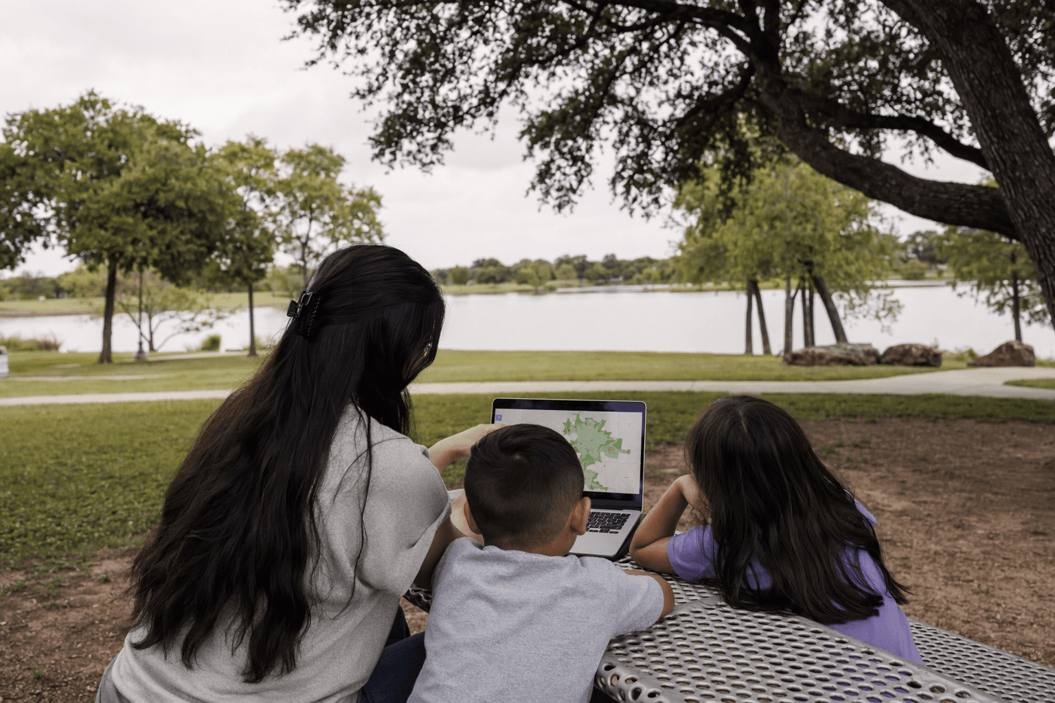
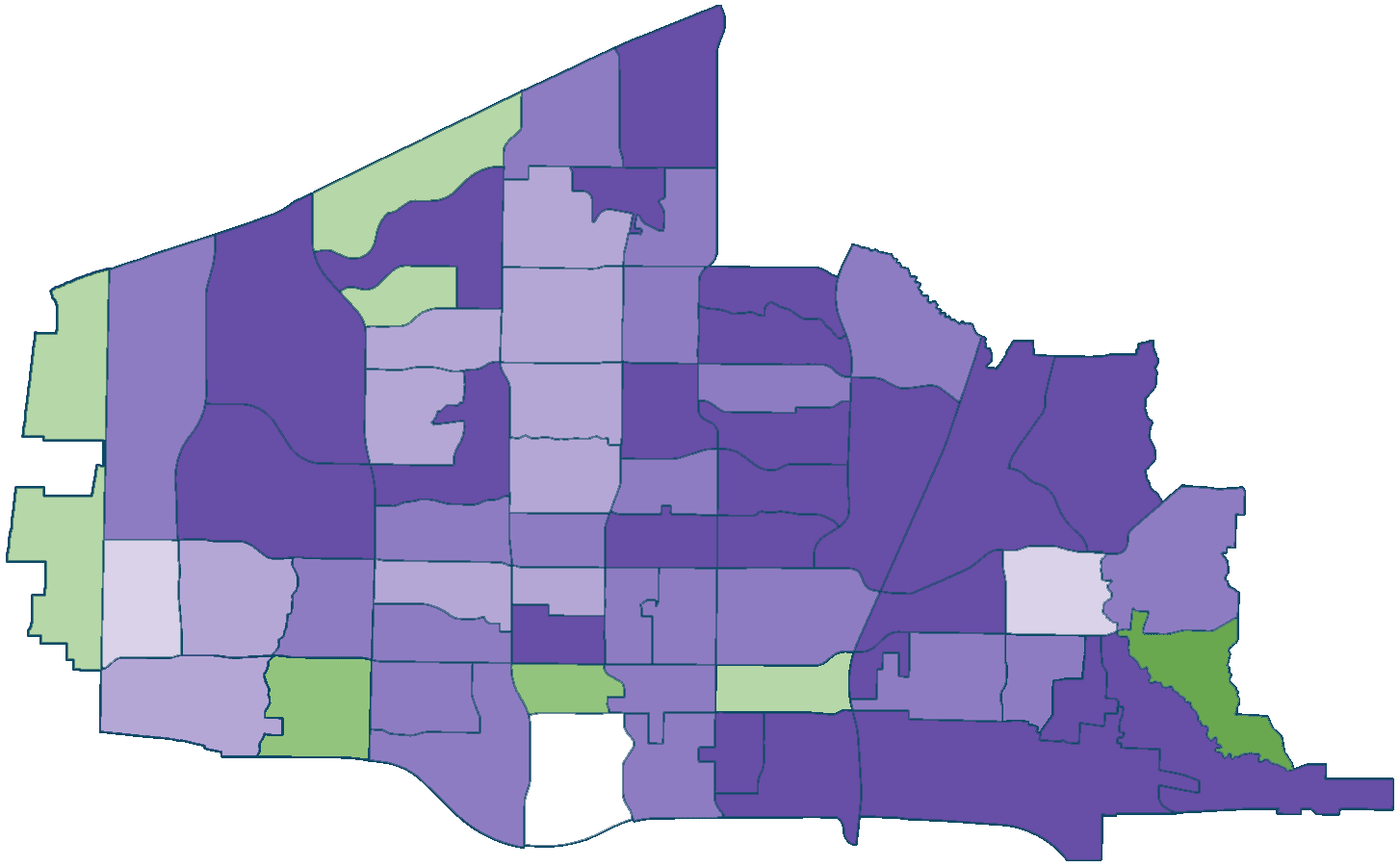
Plano families, runners, seniors and parents now have a new way to check where park shade will fall before they head out into the heat. The city’s beta Plano Shade Map lets users pick a park, date and time to see how sunlight and shade shift by season and time of day, turning a resident’s simple question about the best time to visit a park into a practical tool for everyday use.
That matters in a city where a midday walk, a playground stop or a dog outing can feel very different depending on tree cover. Plano Parks and Recreation Assistant Director Dave Angeles said the tool helps residents “take the guesswork out of planning a park visit” and lets them choose the time and place that works best for them. For families trying to avoid the hottest part of the afternoon, the map can help line up a play break with the shadiest stretch of the day. For older adults and runners, it offers a quick way to compare where a route or seating area may be more comfortable in warmer months.
The city described the map as an interactive 3D visualization tool built from its current Parks tree inventory and generalized tree and building models. Because it is still in beta, Plano said the map may not reflect exact real-world conditions. Residents can report inaccuracies so the city can update the tool as it collects more data. The project also came out of collaboration among planning, GIS, urban forestry and parks staff, showing how city data can be turned into something residents can actually use on a hot Texas day.
Plano’s broader urban forestry work gives the map its backbone. City materials say the Urban Forest Master Plan was created in 2017 to guide public trees and canopy growth over the next 25 years. Plano says its urban forest includes more than 43,000 inventoried trees, with removals, replacements and new plantings recorded weekly. City forestry pages also say trees help provide shade, improve air quality, manage stormwater runoff and support physical and mental well-being.
The city’s scale makes the tool more than a novelty. Plano had 285,494 residents in the 2020 Census, and its 2025 population estimate is 299,262. In a North Texas summer, even a small planning tool can change when people leave home, where they stop and how long they stay outside.
This article was produced by Prism’s automated news system from verified source data, official records, and press releases, then run through automated quality and moderation checks before publishing. The system is built and supervised by the people who set the standards it runs under. Read our full AI policy.
Did this article answer your question?