Severe storms and dangerous heat threaten Cumberland County Thursday
Damaging winds, hail and heat put Cumberland County on alert as storms were expected after 2 p.m. and heat index values topped 100.
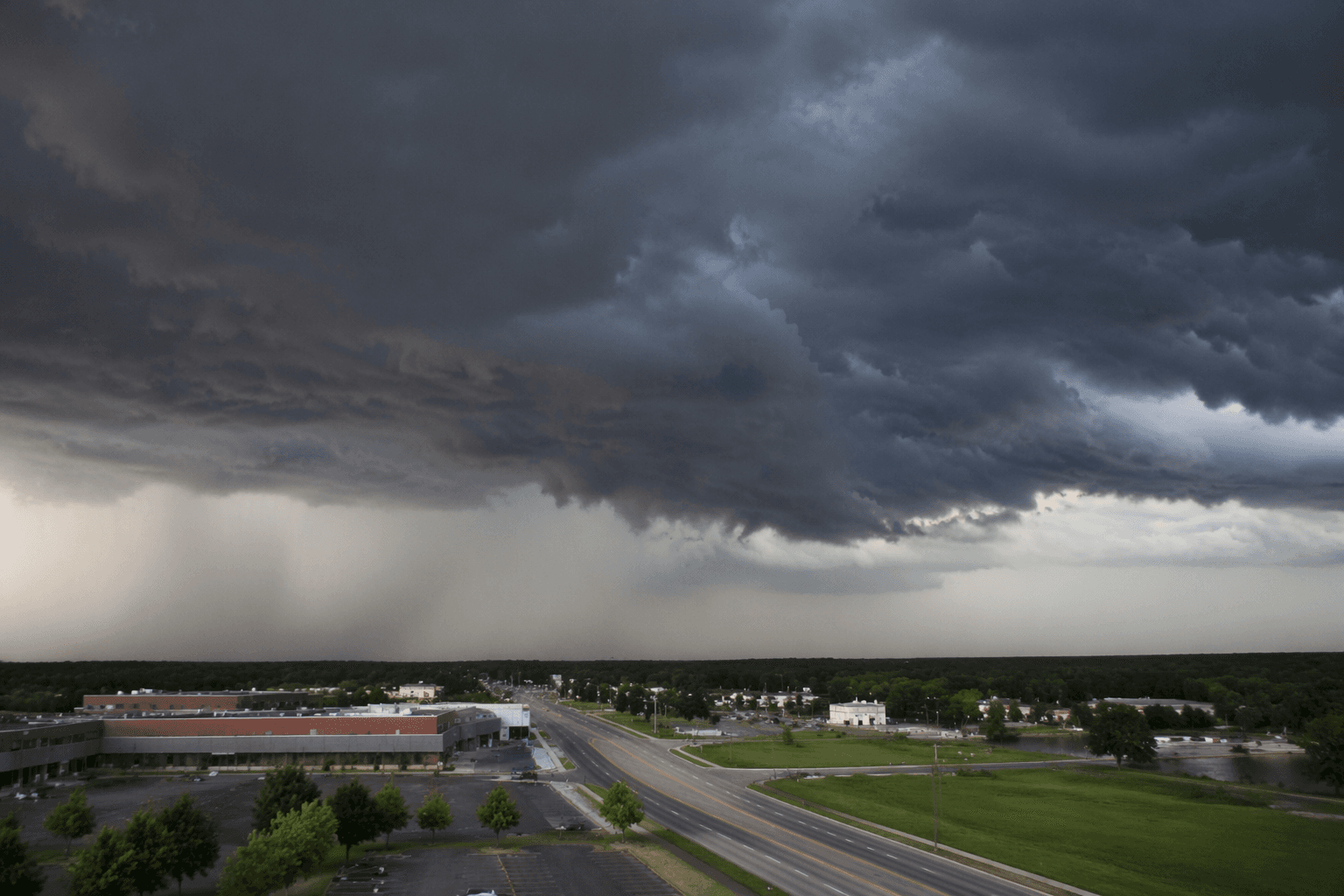
Residents heading into the afternoon commute faced a twin threat of gusty winds and dangerous heat, with the worst storms expected to build after 2 p.m. Cumberland County sat under the same severe-weather setup that had New Jersey on a Slight Risk for thunderstorms, and forecasters warned that conditions could turn fast once the cold front moved through.
The main hazards were damaging wind gusts, hail and oppressive heat. Temperatures were forecast in the upper 80s to mid-90s, with heat index values in the mid-90s and, in some spots, the lower 100s. Even before the strongest cells arrived, sustained winds of 15 to 25 mph and gusts of 30 to 40 mph were expected across New Jersey, making the afternoon blustery well before storms intensified.
For Cumberland County workers, parents and event organizers, that timing mattered. Outdoor work, youth sports, municipal events and school pickup windows all fell into the stretch when storms were most likely to flare, and the strongest cells were capable of gusts of 60 to 70 mph. That kind of wind can bring down tree limbs, make driving hazardous and cause brief power disruptions, especially when the air is already hot and humid.
National Weather Service Mount Holly materials said thunderstorms could become severe after 2 p.m. and heavy rainfall was possible, reinforcing that the day was not just a heat story but a storm story too. The broader National Weather Service message for the Mid-Atlantic said severe thunderstorms and heavy rain remained possible across the region as the frontal system slowed, a setup that can keep dangerous weather lingering longer than expected.

Later in the weather cycle, National Weather Service Mount Holly also extended a Severe Thunderstorm Watch for portions of southern New Jersey, underscoring how quickly the pattern could shift from forecast to warning. For Cumberland County, the practical response was simple: clear the afternoon schedule where possible, watch the sky closely, and be ready to move inside quickly as the front approached.
This article was produced by Prism’s automated news system from verified source data, official records, and press releases, then run through automated quality and moderation checks before publishing. The system is built and supervised by the people who set the standards it runs under. Read our full AI policy.
Know something we missed? Have a correction or additional information?
Submit a Tip