Flood Watch issued for Decatur County through Tuesday evening
Decatur County stayed under a Flood Watch through Tuesday evening, with the Tennessee River at Decatur already near key flood thresholds and dangerous road crossings a major concern.
Heavy rain kept Decatur County under a Flood Watch through Tuesday evening, and the National Weather Service said flash flooding from excessive rainfall remained possible. The clearest local concern was along the Tennessee River at Decatur, where water levels can turn quickly from nuisance flooding to a broader threat for low-lying homes, river bottoms and travel corridors.
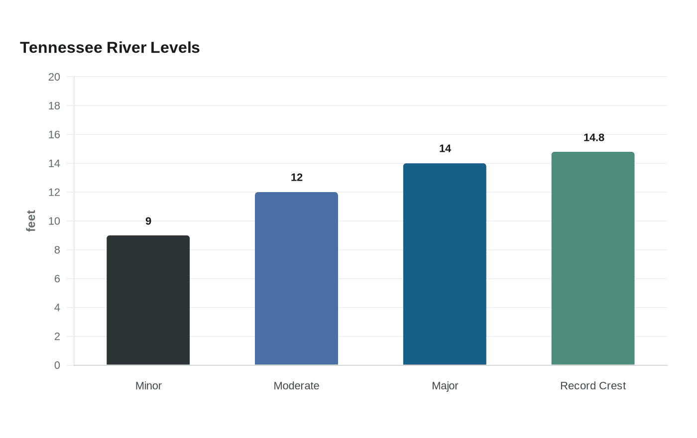
The Tennessee River at Decatur gauge puts minor flooding at 9 feet, moderate flooding at 12 feet and major flooding at 14 feet. NOAA lists the record crest there at 14.8 feet, a reminder that the river can climb into serious flood territory fast when rain persists across the region.
The watch covered Decatur County along with Weakley, Henry, Carroll, Benton and Henderson counties, and the warning area included Decaturville, Paris, Huntingdon, Lexington, Dresden, Parsons, Martin and Camden. That meant anyone driving toward or through low-lying areas near the river had to be ready for water over the roadway, especially where runoff funnels into ditches, drains and creek crossings after heavy downpours.
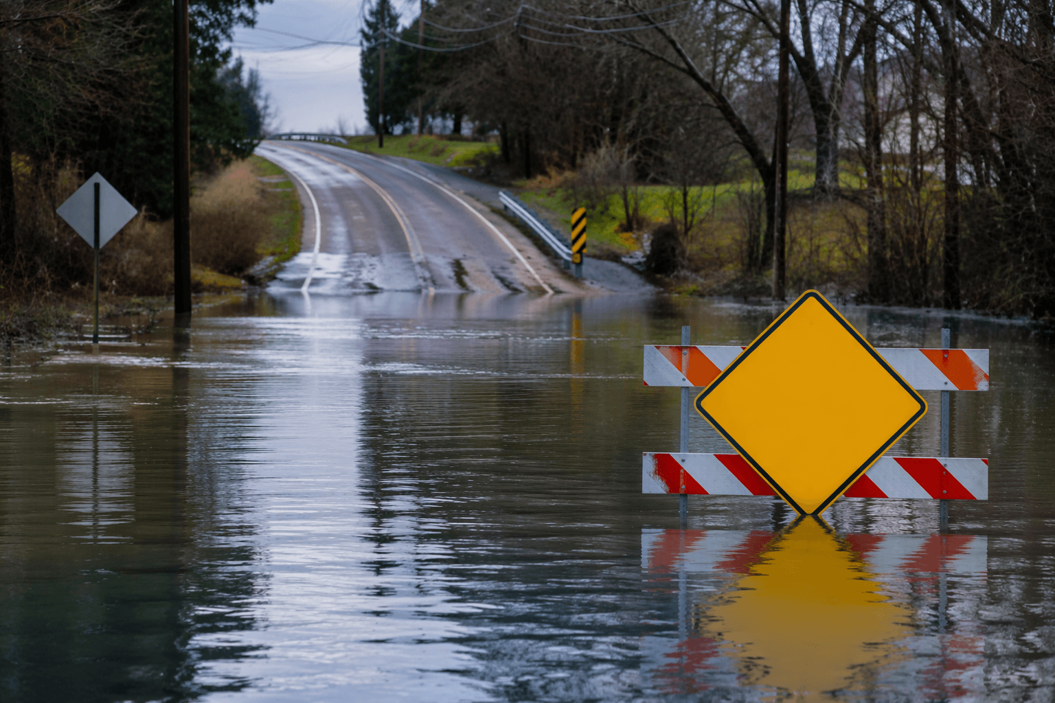
NWS Nashville urged people to have multiple ways to receive warnings and to never drive through flooded roadways. That warning is not theoretical: the weather service says most flood fatalities happen in vehicles, and only 12 inches of moving water can sweep a car away.
The broader flood picture in Tennessee showed why officials were sounding the alarm. NWS flood statistics list the May 1-3, 2010 flooding as the deadliest flood in the state since 1996, with 22 deaths statewide. The Aug. 21, 2021 flash flood in Humphreys County was the deadliest Middle Tennessee flood since 1969, killing 20 people.
For Decatur County households, the practical risk was simple and immediate: watch the river, avoid flooded crossings and be ready for warnings to come fast before evening. In a county shaped by the Tennessee River corridor, even minor rises can create dangerous conditions on roads and in low spots long before water reaches peak flood stage.
This article was produced by Prism’s automated news system from verified source data, official records, and press releases, then run through automated quality and moderation checks before publishing. The system is built and supervised by the people who set the standards it runs under. Read our full AI policy.
Know something we missed? Have a correction or additional information?
Submit a Tip