Dolores County Stoner fire page centralizes evacuation alerts and restrictions
Remote Dolores County residents are being pointed to one page for evacuation notices, Stage 2 restrictions and emergency contacts before conditions shift.
Residents in Stoner, Taylor Mesa and other remote parts of Dolores County now have one place to check before they head into the forest, burn outdoors or trust a back road to stay open. The county’s Stoner Fire Information page centers on evacuation notices, critical updates and direct contact with Dolores County Emergency Management and the Dolores County Sheriff’s Office, reflecting how quickly wildfire conditions can change in the county’s scattered canyon and mesa communities.
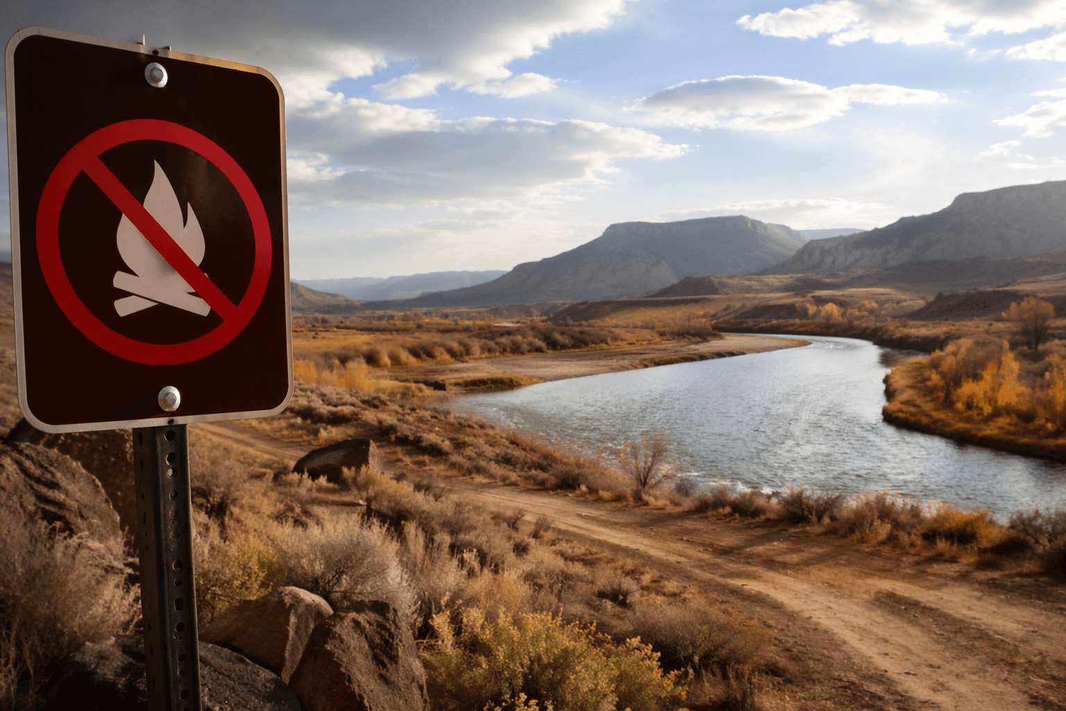
The page also lays out the current fire restrictions affecting the San Juan National Forest, including Stage 2 restrictions. Those rules ban open fires, campfires, charcoal grills and similar flames on national forest land, and they also prohibit smoking outside enclosed vehicles or buildings, using engines without spark arresters, driving off established roads or trails, welding or other open-flame work, and using fireworks, rockets, tracer rounds or other incendiary items. The county’s READY messaging is aimed at getting people prepared before smoke appears, not after an evacuation route is already under pressure.
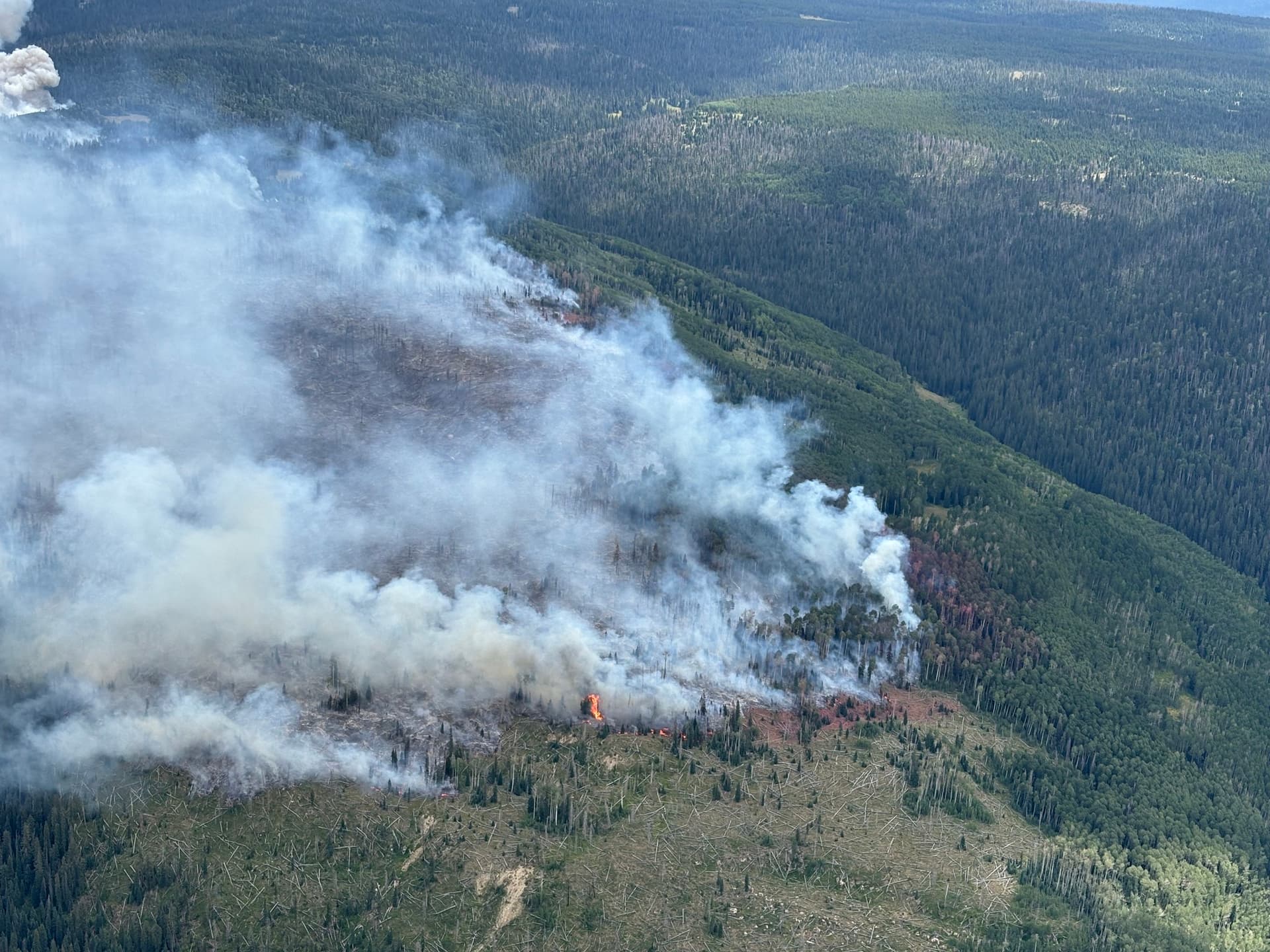
The need for that warning became clear during the Stoner Mesa Fire, which was first reported on July 28, 2025. By Aug. 5, firefighters estimated the blaze at 250 to 300 acres and Dolores County had issued evacuation orders for San Juan National Forest lands on Stoner and Taylor Mesas. Officials described the fire as remote and inaccessible, with extreme fire behavior, group tree torching and spotting ahead of the main fire, while multiple airtankers, an air attack plane and two helicopters were assigned to the incident.
On Aug. 6, the fire had grown to just over 500 acres, with growth expected to the east. The evacuation area included Stoner Mesa Road, Forest Service Road 686, Taylor Mesa Road, Forest Service Road 545, Mavreeso Campground, Burro Bridge Campground and West Dolores Campground. At that point, the Forest Service said there were no anticipated closures to Highway 145 or County Road 38, but the incident still made clear how quickly access decisions can ripple through the area.
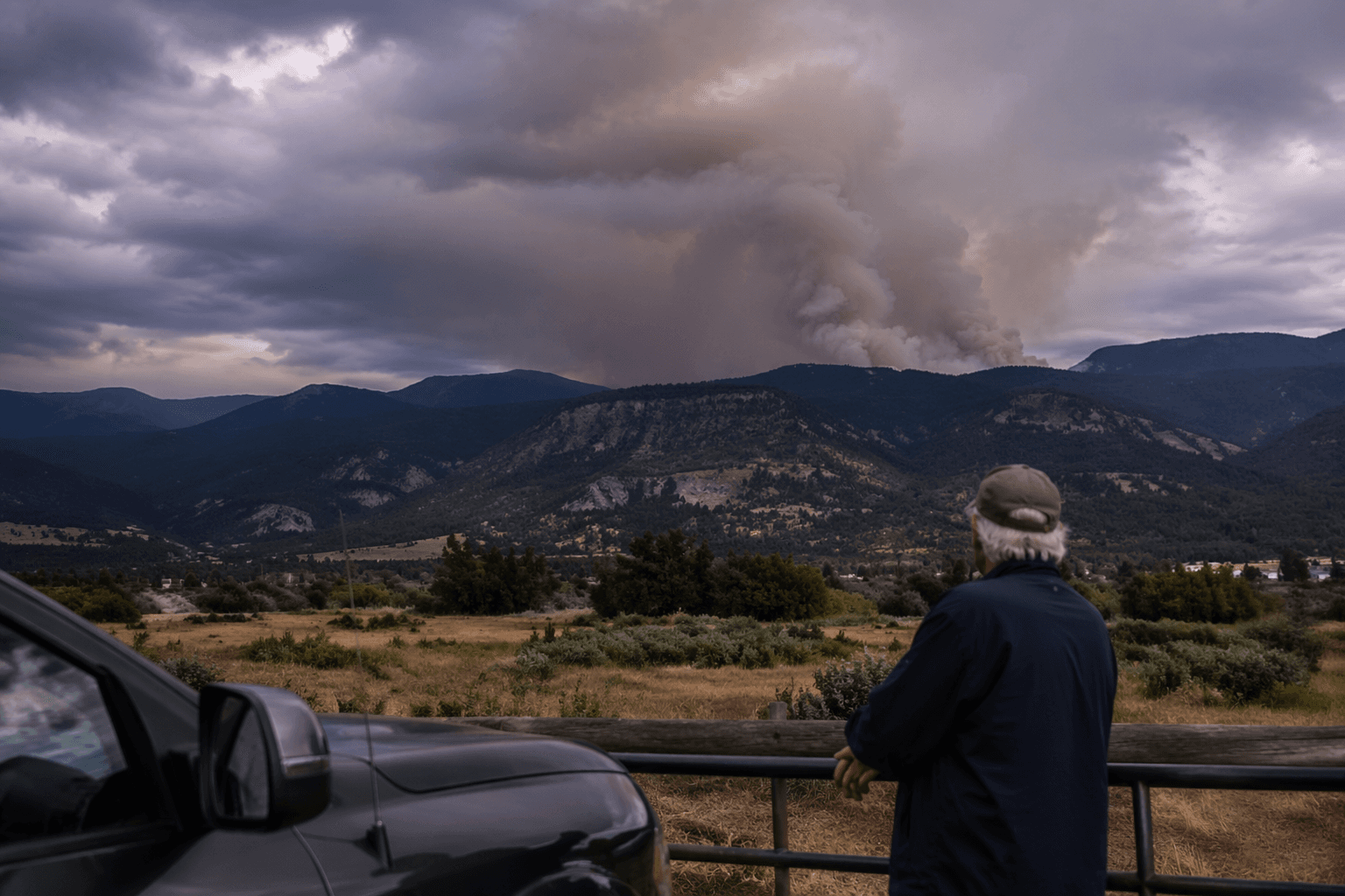
The county’s communication push continued into August as officials told Rico residents at an Aug. 12 public meeting to use Everbridge for emergency alerts, not Nixle, which was no longer being used. The San Juan National Forest set Stage 2 fire restrictions to take effect at 12:01 a.m. on Aug. 8, citing recent wildfire activity, persistent severe fire weather and extended drought. A later local update put the fire at 7,123 acres with 0% containment on Aug. 13, and by Aug. 21 the Stoner Mesa Fire Area, Road and Trail closure remained the only fire-related closure on the forest, underscoring how one remote fire can reshape travel, recreation and evacuation planning across Dolores County.
This article was produced by Prism’s automated news system from verified source data, official records, and press releases, then run through automated quality and moderation checks before publishing. The system is built and supervised by the people who set the standards it runs under. Read our full AI policy.
Know something we missed? Have a correction or additional information?
Submit a Tip