Montezuma County Signs Mylar Documents for Dolores Subdivision Amendment
Montezuma County commissioners signed Mylar documents March 17 adjusting the boundary line between two Butler Subdivision lots on Road 37 near Highway 145.
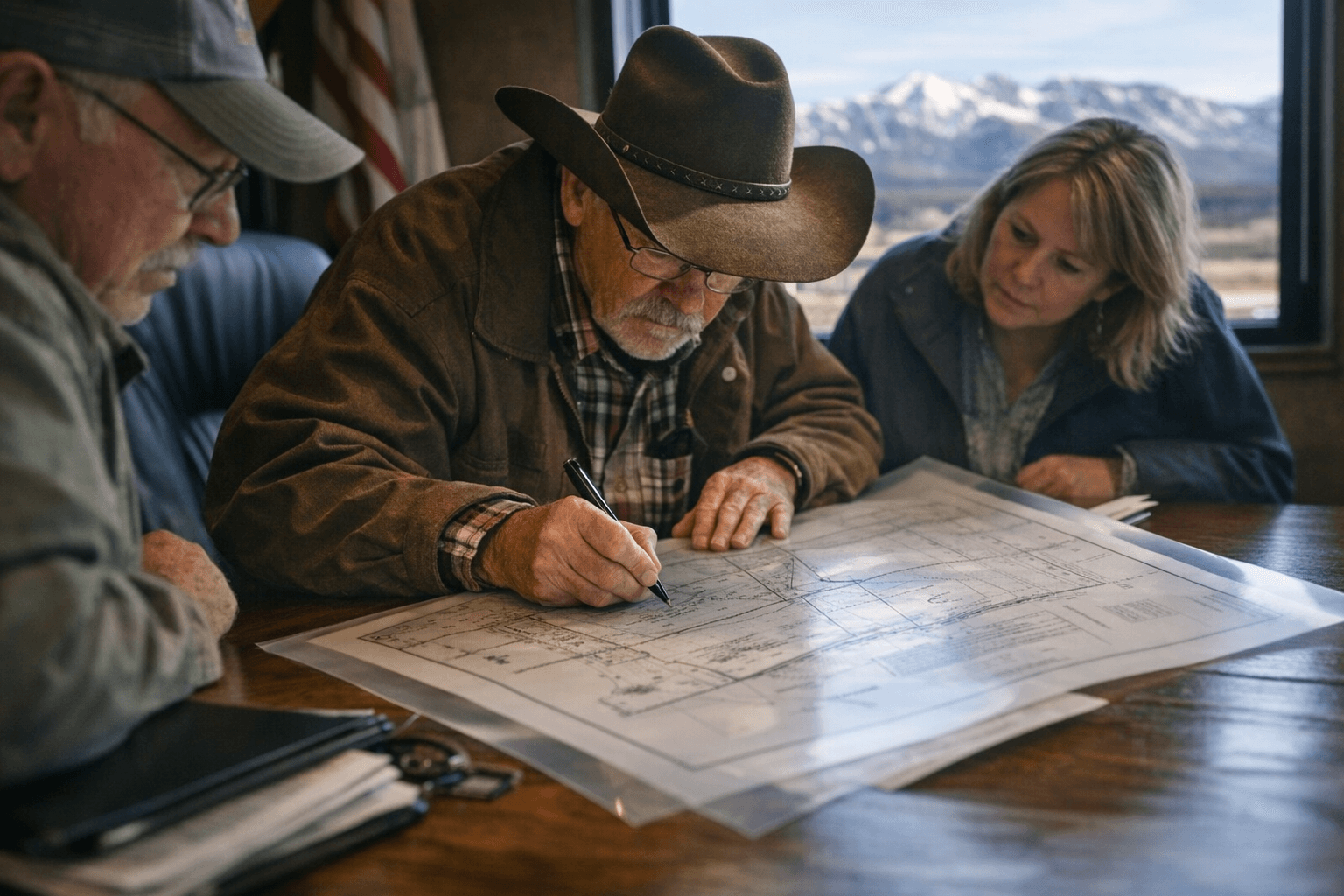
Montezuma County commissioners moved quickly through a planning item at their March 17 regular meeting, signing Mylar documents to finalize a subdivision amendment adjusting the boundary line between two adjoining lots in the Butler Subdivision east of Highway 145.
The amendment affects Lots 17 and 18 of the Butler Subdivision, both carrying Dolores, Colorado mailing addresses on Road 37. Scott and Gayle Mabery own the smaller parcel at 23950 Road 37, approximately 0.63 acres, while Darren and Candida Gemmill hold the neighboring property at 23962 Road 37, consisting of approximately 2.09 acres. Both lots sit within Section 14, Township 38N, Range 14W, N.M.P.M.
The Planning Department brought the finalized survey maps to the board for official signatures, describing the action as routine. "Short and sweet," the planning presenter told commissioners. "All we have is a Mylar to get signed for the amendment of the Butler Subdivision on a boundary line adjustment."
Commissioners wasted little time. "Roll them out and we'll come down and we'll get them signed and then we'll go on," one commissioner responded. After the signing, the exchange closed with a "Thank you very much" and a summary verdict: "In and out."
A Mylar is a finalized, film-based survey map that serves as the official recorded document when a subdivision plat or amendment is approved. Once signed by the appropriate governing body, it is submitted to the county clerk and recorder for filing. Whether the Mylar has been formally recorded with the Montezuma County Clerk and Recorder following the March 17 meeting had not been independently confirmed as of publication.
The boundary line adjustment itself, and what specifically changed between the two lots in terms of dimensions or configuration, was not detailed in the meeting's public record. The Planning Department file for the amendment, including the surveyor's map and application materials, would contain that specifics.
The March 17 session also included approval of minutes from the March 10, 2026 meeting and moved on to a public comment period with one comment entered into the record.
This article was produced by Prism’s automated news system from verified source data, official records, and press releases, then run through automated quality and moderation checks before publishing. The system is built and supervised by the people who set the standards it runs under. Read our full AI policy.
Did this article answer your question?


