San Juan National Forest page urges Dolores County backcountry safety checks
A few minutes on the forest conditions page can keep Dolores County travelers out of trouble when snow, closures or blocked roads turn a simple outing into a rescue risk.

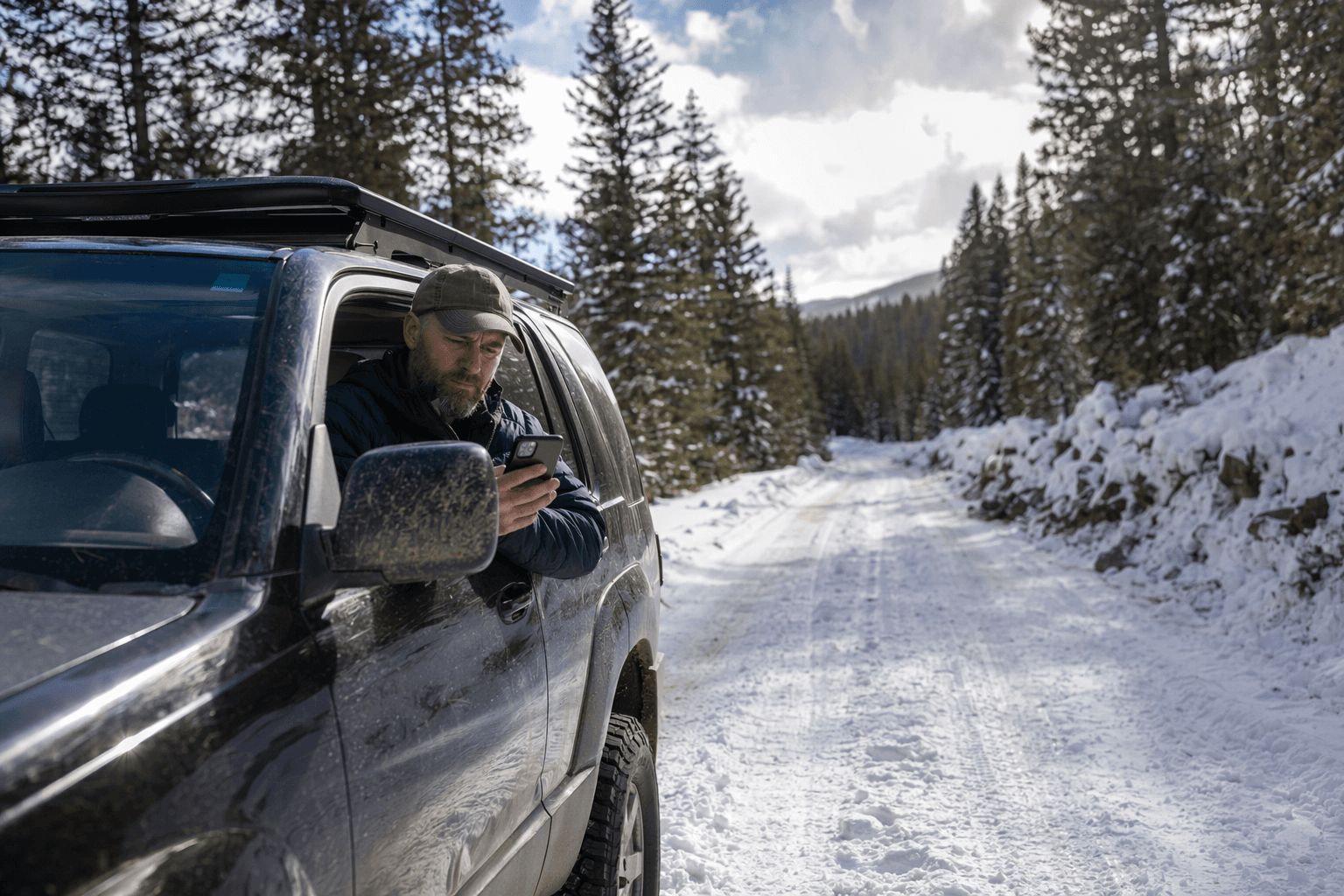
Check the mountain before you leave
The safest trip into Dolores County’s backcountry starts before the engine warms up. If you are heading toward a trail system, a forest road, a hunting spot or a high-country campsite, the San Juan National Forest current conditions page is built to answer the questions that matter most: is there snow, is the road open, and is your route actually legal to drive?
The first thing to verify is avalanche danger whenever snow remains on the slope. The current conditions guidance tells travelers to check the Colorado Avalanche Information Center before going into the mountains, because avalanche conditions can change quickly and the safest choice one morning can become a bad bet by afternoon. That matters in a county where a routine outing can climb fast into higher elevation terrain, where snow, wind and warming temperatures can alter the route in hours.
Start with avalanche forecasts and weather
The Colorado Avalanche Information Center is not just a map or a forecast page. It provides avalanche safety information, education and research for anyone planning to travel in the Colorado mountains when there is snow on the ground. It issues avalanche forecasts each day by 4:30 p.m., and it updates those forecasts whenever conditions change significantly.
That timing gives local travelers a real planning window. If you are deciding whether to ski, snowshoe, snowmobile or even simply drive toward a higher trailhead, the forecast should be one of the first checks you make, alongside the weather and the route you plan to take. The forest guidance also reminds people to think about the limits of their equipment and experience, which is a practical way of saying that a safe trip depends on matching the day’s conditions to what you can actually handle.
Roads can change faster than maps do
Road status is the next critical checkpoint. The San Juan National Forest current conditions page points users to forest road status tables that are updated as soon as ranger districts relay changes, and that detail is especially important around Dolores, Rico, Stoner and the surrounding national forest lands. A road that looked passable last week can be blocked by snow, downed trees or maintenance issues without much warning.
That warning is not theoretical. The forest notes say any road can be blocked at any time by snow or fallen timber, and that is a real problem for drivers in trucks, people towing trailers and anyone trying to reach a remote trailhead with a full load of gear. It is also why the page’s message about self-reliance matters so much: if a vehicle gets stranded, the Forest Service and the counties do not rescue it. Once you leave paved roads, the responsibility for getting back out rests with the driver.
Why motor vehicle use maps belong in the plan
A general map is not enough for motorized travel in the San Juan. The forest directs travelers to Motor Vehicle Use Maps, commonly called MVUMs, because those maps are the legal document used to enforce travel rules. They show which roads and trails are open to motorized travel, by district, vehicle class and season.
For people in Dolores County who ride, hunt, camp or move between dispersed sites, that legal detail matters just as much as the physical road surface. A route may look open from the windshield and still be off-limits for the vehicle you are driving or for the season you are traveling in. Checking the MVUM before you go helps prevent tickets, damage to the road system and the kind of confusion that sends people onto closed or unauthorized routes.
A small county depends on these checks
This guidance carries extra weight in Dolores County because the community is small and the backcountry is part of everyday life. The county had 2,326 residents at the 2020 census, and the U.S. Census Bureau estimated the population at 2,466 in July 2025. When a place is that small, access to public land is not a side issue. It is tied to recreation, work, family outings and the seasonal rhythms of life across the county.
The San Juan National Forest itself covers about 1.8 million acres in southwestern Colorado, and the Dolores Ranger District manages 597,373 acres across Dolores, Montezuma and San Miguel counties. The Dolores Ranger District office is co-located with the BLM Tres Rios Field Office in Dolores, which makes the town a practical hub for people trying to sort out road access, seasonal closures or general forest conditions before heading out.
Seasonal closures protect roads and wildlife
The current conditions page is also a reminder that some closures are there for more than convenience. Forest Service seasonal closures can open around May 1 as conditions allow, but those openings depend on how quickly snow melts, how muddy roads become and whether the ground can handle traffic without damage. The forest also uses closures to protect deer and elk during winter and early spring, when food is scarce and pregnant females are especially vulnerable.
That makes the closure calendar part of public land stewardship, not just a bureaucratic hurdle. If you push around a gate or ignore a closed route, you are not only risking a citation or a stuck truck. You are also increasing damage to roads that may already be fragile and disturbing wildlife at a sensitive time of year.
A simple pre-trip routine can prevent a bad day
Before you head out, the safest routine is straightforward:
- Check the avalanche forecast first if there is snow on the slope.
- Review the weather and route information for the exact area you plan to visit.
- Open the forest road status tables to see whether your road or trailhead is still accessible.
- Compare your vehicle, trailer and tire setup with the conditions on the ground.
- Look at the MVUM to confirm the route is open to motorized travel for your vehicle class and season.
- Confirm whether the area is under a seasonal closure or wildlife-protection restriction.
That sequence can keep a backcountry day from turning into a recovery operation. In a county where distances are long, terrain is variable and conditions can shift quickly, the current conditions page is not just helpful planning material. It is part of the safety system that helps keep Dolores County travelers from making avoidable mistakes before they ever reach the trailhead.
This article was produced by Prism’s automated news system from verified source data, official records, and press releases, then run through automated quality and moderation checks before publishing. The system is built and supervised by the people who set the standards it runs under. Read our full AI policy.
Did this article answer your question?


