Douglas County offers free flood map checks for unincorporated residents
A free county form can show whether an unincorporated Douglas County home sits in a flood zone, a finding that can change mortgage terms and insurance bills.

A free county form could determine whether an unincorporated Douglas County home needs flood insurance before a mortgage closes. On April 28, Douglas County Public Works said residents can request Flood Insurance Rate Map and zone information at no cost, including whether a property sits in the current flood map, a flood zone, a floodway, a possible hazard area, or an area with a base flood elevation or depth.
That matters most for homeowners, buyers and lenders in unincorporated Douglas County, where flood insurance may be required as a condition of a mortgage or loan if a property falls inside a Special Flood Hazard Area. The Colorado Division of Insurance says flood insurance is separate from homeowners coverage, and standard policies do not cover flood damage. It also says the National Flood Insurance Program is available to homeowners, renters, condominium owners and associations, whether or not a property is in a floodplain, with coverage that typically carries a 30-day waiting period after the application and first premium payment. About 25% of flood insurance claims come from outside high-risk areas.
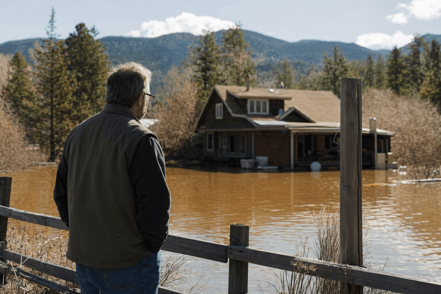
The county’s floodplain information page says the map request is part of its Community Rating System annual recertification work. Douglas County says FEMA moved the county from CRS Class 7 to Class 5, effective May 1, 2020, which qualified NFIP policies in Special Flood Hazard Areas for a 25% premium discount instead of the previous 15% discount. FEMA says stronger floodplain management can reduce risk and lower insurance costs, a point that carries direct financial weight for anyone comparing a purchase price, monthly housing cost and closing timeline.

Douglas County’s floodplain planning materials treat floodplains as Class 3 constraints or hazards, described as a very high to extreme threat to public safety. Section 18 of the Douglas County Zoning Resolution governs the Floodplain Overlay District, and county materials say the goal is to limit land uses in floodplains to reduce damage to life and property and preserve floodplain functions as open space. The county also says a floodplain development permit is required before construction or development begins in any Special Flood Hazard Area.
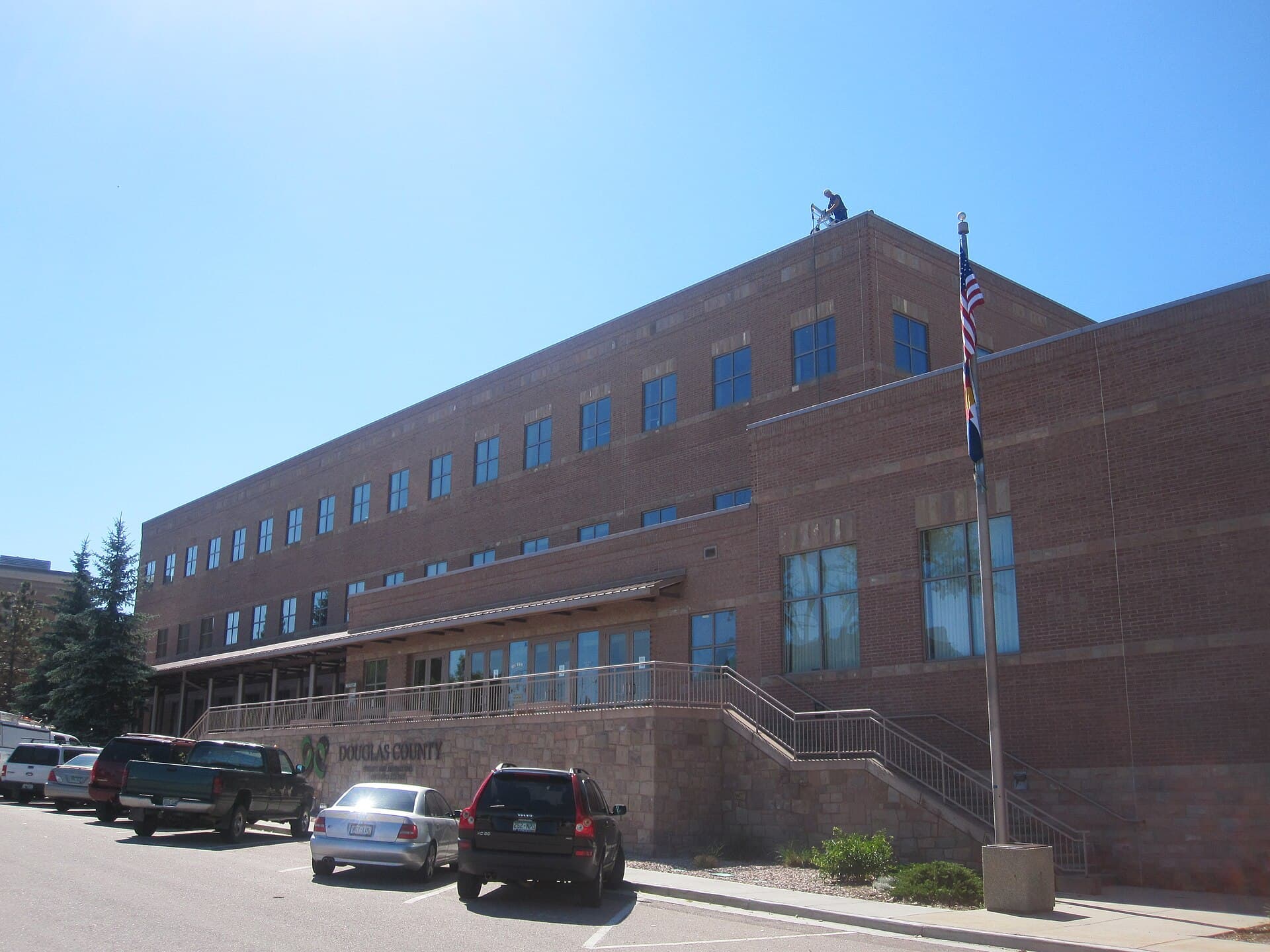
Residents can request the information by calling 303-660-7490 or visiting Douglas County Public Works at 100 Third St. in Castle Rock. County GIS also points residents to the Riparian Conservation Zone map in the Real Property app, while FEMA says the National Flood Hazard Layer is the current effective flood-hazard dataset used to support the NFIP. For buyers, builders and lenders in unincorporated Douglas County, the county’s map check can settle the question before a surprise requirement turns into a higher bill or a delayed closing.
This article was produced by Prism’s automated news system from verified source data, official records, and press releases, then run through automated quality and moderation checks before publishing. The system is built and supervised by the people who set the standards it runs under. Read our full AI policy.
Did this article answer your question?