Douglas County cemeteries reveal local history through interactive map
Douglas County’s cemetery map turns burial grounds into a visitor guide to Lawrence-area settlement, war memory and family networks. Oak Hill is the clearest stop, with museum tours and preservation tools nearby.
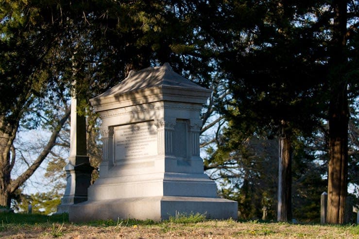
Douglas County’s historic cemeteries work like open-air archives. The county’s interactive map gives residents and visitors a practical way to read the names, family plots, military markers and memorial traditions that shaped Lawrence, Baldwin City, Eudora, Lecompton and the rural townships around them.
Start with the county map
The most useful entry point is Douglas County’s interactive cemetery map, which the county launched on May 7, 2020. Senior GIS Analyst Amy Roust created it with Douglas County Heritage Coordinator Jan Shupert-Arick and John Nichols of the County Clerk’s Office, who gathered cemetery records, and the county said the work had been underway for about three years before launch.
That long timeline matters because it shows the map was built as a records project, not a quick web feature. It gives readers a way to move from broad county history to specific burial sites, and it ties together places that are often discussed separately, including Lawrence and the smaller communities that sit within the same settlement pattern.
Douglas County also says there are eight cemetery districts covering 11 cemeteries in the county. Those districts levy taxes to pay for upkeep and maintenance, which makes the cemeteries part of the county’s public life, not just its past.
Why Oak Hill carries so much of the story
Oak Hill Cemetery in Lawrence is the strongest place to start if you want one site that captures the county’s layered history. It appears in Explore Lawrence’s Historic Cemeteries materials and in Digital Douglas County History, which gives it both a visitor-facing and an interpretive role.
Its origins are tied to the aftermath of Quantrill’s Raid in 1863. Lawrence city materials say survivors looked for ways to memorialize those killed in the attack, and in 1864 the mayor urged the city to build a new cemetery because most raid victims were buried in Pioneer Cemetery. A Lawrence history document says the ground now known as Oak Hill Cemetery was purchased on January 5, 1865 from Thomas Sternbaugh, and Lawrence Preservation Alliance says the cemetery was established in 1865 on a 40-acre plot.
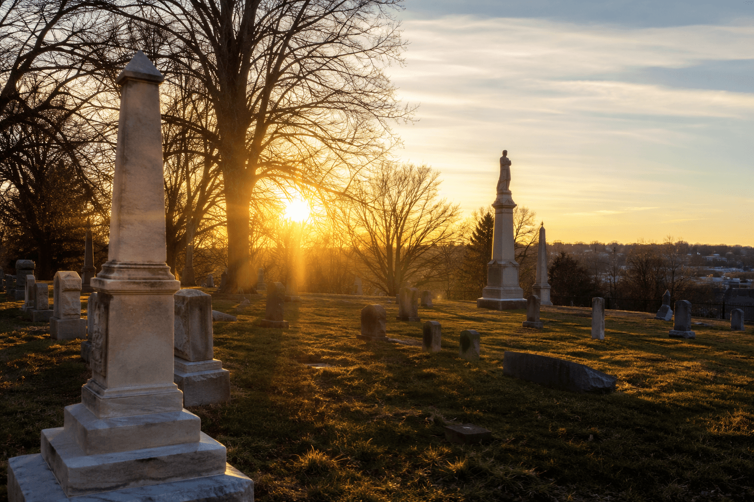
That timeline makes Oak Hill more than a burial ground. It is a civic response to wartime loss, a place where local memory was organized into landscape, and one of the clearest places to see how Lawrence turned grief into a permanent public site.
What to look for on the ground
A walk through a historic cemetery can tell you more than dates. Look for family plots, which often show how households stayed connected across generations and how names reappear as neighborhoods and migration routes changed over time. In a place like Douglas County, those plots can point to settlement patterns that also shaped Lawrence’s growth and the county’s surrounding towns.
Veterans’ markers are another useful marker of county history. They connect individual graves to national conflicts and help show how service reached into local families. Memorial style matters too: monument size, stone material and inscription language can show how commemoration changed over time, from simple markers to more elaborate monuments.
Oak Hill’s educational materials make that reading easier. The City of Lawrence has teaching resources titled What is a Rural Cemetery?, The People of Oak Hill, and Symbolism in the Cemetery. Those materials reinforce the idea that the cemetery can be read as a document, with design choices and inscriptions that reveal the beliefs of the people buried there.
For a first visit, a simple sequence works well:
1. Use the county map to choose a cemetery and note its district.
2. Start with the oldest visible stones and look for family names that repeat.
3. Find veteran markers and compare them with the rest of the section.
4. Pay attention to iconography, stone shape and inscription style.
5. Cross-check names later with digital collections or museum materials.
Oak Hill’s potter’s field broadens the lens
Oak Hill also holds a more complicated and more inclusive chapter of county history: the potter’s field. Watkins Museum of History says its Oak Hill Cemetery Potter’s Field Community Remembrance Project seeks to identify and memorialize all those buried there.
That effort matters because it pushes the story beyond the most visible graves and prominent family names. Potter’s fields often preserve people whose lives were less fully documented, and the museum’s project makes that absence part of the historical record rather than letting it remain invisible.
The museum also hosts Cemetery Tours, which turns Oak Hill and similar sites into interpretive spaces for the public. That kind of programming gives the cemeteries a local economic role too, since heritage visitors often move between a cemetery, a museum, archival resources and nearby businesses during the same trip.
Where to go next after the walk
Oak Hill is the best known stop, but it works best as part of a county-wide circuit. The interactive map helps readers understand that Douglas County’s cemetery story is distributed across multiple communities, not concentrated in one place, and the taxing districts show that those sites are maintained through an ongoing local system.
For added context, pair an on-site visit with the Watkins Museum’s conservation materials and the Digital Douglas County History collection. The county’s Heritage Conservation Council also gives the story a preservation dimension through its Natural and Cultural Heritage Grant Program, developed with the council in 2011, and the county’s Rural Historic Resources Guide for unincorporated Douglas County, which the Heritage Conservation Council accepted on October 5, 2023.
Taken together, those tools make the county’s cemeteries useful in a very practical way. They help visitors decode who settled here, who served, how communities remembered loss, and how those places are still maintained today. In Douglas County, the stones are not just markers of the dead. They are a guide to the living history of the place.
This article was produced by Prism’s automated news system from verified source data, official records, and press releases, then run through automated quality and moderation checks before publishing. The system is built and supervised by the people who set the standards it runs under. Read our full AI policy.
Did this article answer your question?