Dubois County maps reveal lost history after 1839 courthouse fire
Old plat books and maps fill the gap left by the 1839 courthouse fire, showing where Dubois County’s vanished schools, churches, roads, and town centers once stood.
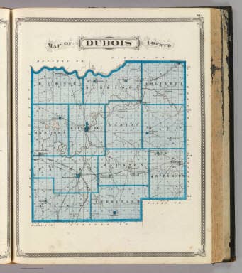
Dubois County’s oldest paper trail was badly burned away in 1839, but the county’s maps still show where life used to happen. In Jasper and across the 432 square miles of southern Indiana, old atlases and plat books can point to vanished schools, churches, cemeteries, rail lines, and town centers that no longer appear on a modern road map.
Why the maps matter now
Dubois County was created in 1818 from Pike County, and Jasper remains the county seat. The county courthouse fire in 1839 destroyed almost all records before that date, leaving a major gap for anyone tracing early settlement, land ownership, or family lines.
The county’s first settlements began in 1801 in the northern part of Dubois County, so some of the earliest footprints predate much of the surviving paper record. George R. Wilson published *History of Dubois County from its primitive days to 1910* in 1910. Jasper was founded in 1830, incorporated as a town in 1866, and incorporated as a city in 1915.
What old maps can show you
The Indiana State Library lists historical county maps, atlases, and plat books for Dubois County. One of the earliest items on the library’s map page is the 1892 *Wilson’s school map of Dubois county, Indiana*, which gives a school-centered view of the county at a time when local education often served as a landmark as much as an institution.
Another revealing piece is the 1898 Dubois County map held in Indiana Memory. Its catalog description outlines the townships and surrounding counties and shows roads, railroads, schools, churches, cemeteries, towns, and other features. It can show where people traveled, where children went to school, where congregations gathered, and where communities buried their dead.
A separate 1876 map by A. T. Andreas, available through the David Rumsey Map Collection, adds a point of comparison from the 19th century. When you place maps like these side by side, roads shift, settlement spreads, and places that once mattered to daily life fade from modern view.
What the plat books reveal about land and neighborhoods
The Dubois County plat book in Indiana Memory dates roughly from 1925 to 1940 and functions as a plat atlas showing the county map, townships, and land ownership. It is especially valuable if you are trying to understand a farm, a rural neighborhood, or the way a property line changed over time.
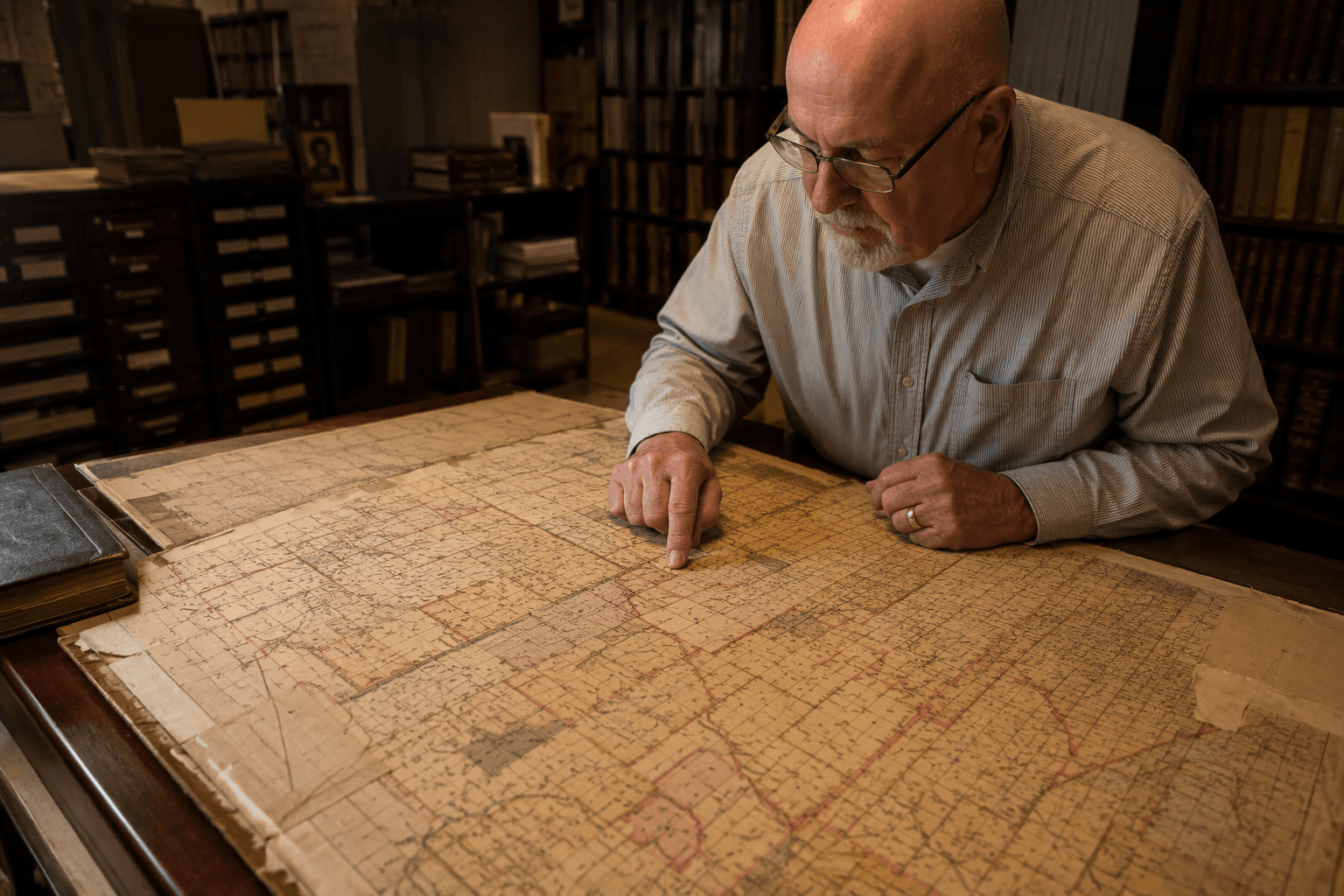
They show who owned what, where township boundaries fell, and how the county was divided before suburban-style subdivisions and digital mapping transformed the landscape. For anyone studying a family farm, a long-held parcel, or the history of a road that seems to appear out of nowhere, a plat atlas can answer questions that courthouse records once held and the 1839 fire nearly erased.
Where to look first
The Indiana State Library is the strongest starting point because its Dubois County maps page brings together county maps, atlases, and plat books in one place. Those materials can be retrieved by filling out a call slip, which gives local researchers a straightforward path to the records without needing to guess where to begin.
The Jasper-Dubois County Public Library is another practical entry point. It offers genealogy resources, digitized newspapers, and a large collection of print materials for research. A map often becomes much more useful when you can match it with a newspaper notice, a family name, or a land description from another source.
How to use the maps for your own search
Start with a present-day place you know, then move backward. A current road, farm, church site, or neighborhood in Jasper can often be traced on an older map to see what was there before. Once you find the location, compare the 1892 school map, the 1898 county map, and the 1925 to 1940 plat book to see whether the land was divided differently, whether a school or church stood nearby, or whether a road once followed a different route.
- vanished schools that no longer appear on road atlases
- churches and cemeteries that marked older settlement patterns
- railroads that once shaped travel and trade
- township lines that help place family land in context
- ownership patterns that explain how farms and neighborhoods developed
A practical search can focus on:
The county’s early records were hit so hard by the 1839 courthouse fire that the map record is one of the best surviving ways to reconstruct local history. It can also help you understand why a family stayed in one area, why a road exists where it does, or why an old town center seems to have disappeared from the landscape.
This article was produced by Prism’s automated news system from verified source data, official records, and press releases, then run through automated quality and moderation checks before publishing. The system is built and supervised by the people who set the standards it runs under. Read our full AI policy.
Did this article answer your question?