Special weather statement warns of thunderstorms, wind gusts in Fresno County
Thunderstorms, gusty winds and small hail could disrupt Fresno County plans through 4:15 p.m. Sunday, with the Sierra crest and central Valley under the closest watch.
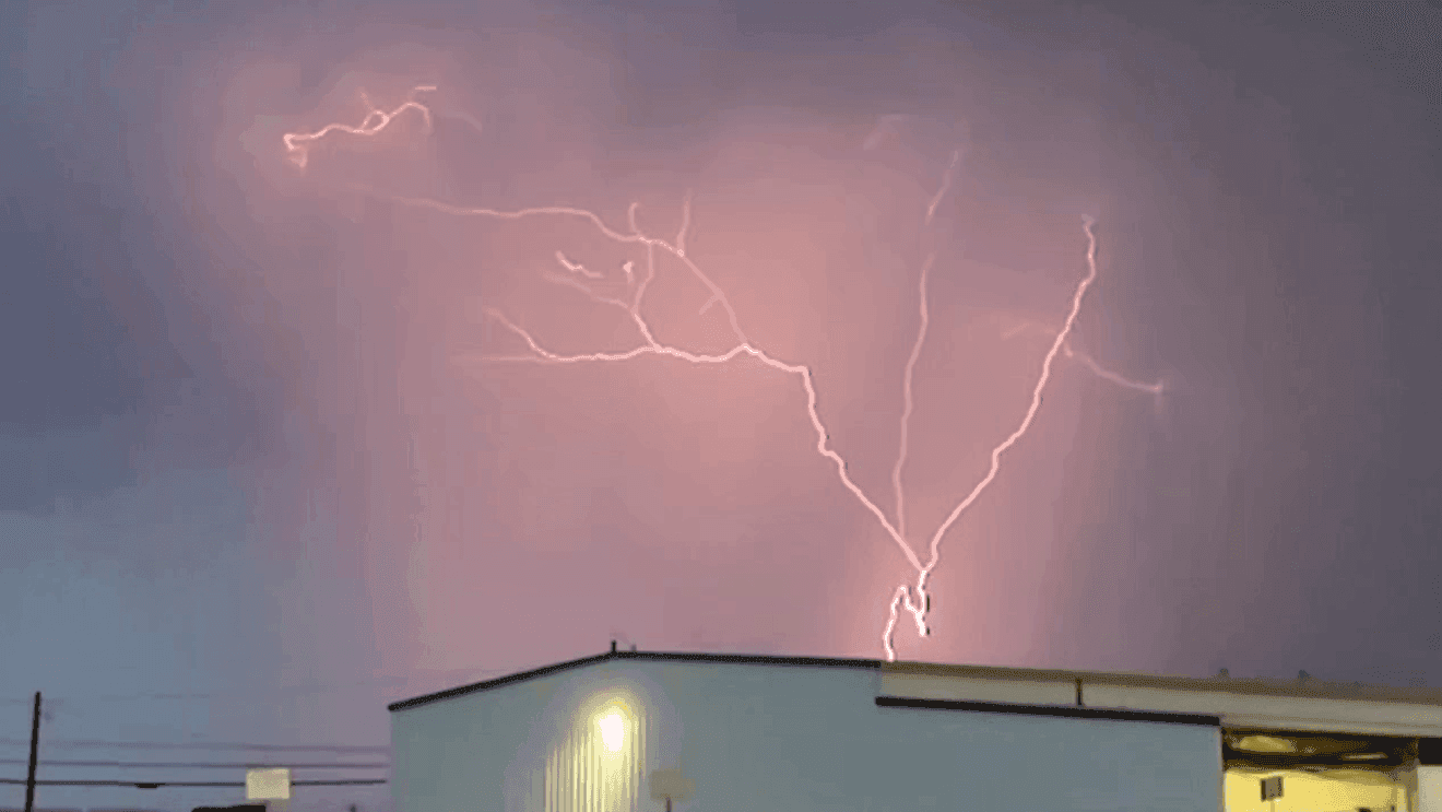
Fresno County drivers, park crews and anyone with an outdoor event this afternoon need to keep one eye on the sky until 4:15 p.m., when a special weather statement remains in effect for strong thunderstorms, wind gusts and small hail. The National Weather Service Hanford office said the warning area covers Fresno County and much of the central California interior, where sudden storm bursts can turn a routine afternoon into a rough travel window.
The biggest concern is not a long-lasting soaking rain but fast-moving weather that can bring brief downpours, reduced visibility and sudden gusts strong enough to make high-profile vehicles, bicycles and roadside work more difficult. Outdoor gatherings across Fresno, Clovis and the rest of the valley floor face the risk of delays or abrupt shutdowns if cells build quickly. Even where storms do not drop much rain, small hail and wind can still damage delicate crops, blow debris into streets and strain local power reliability if branches or lines are hit.
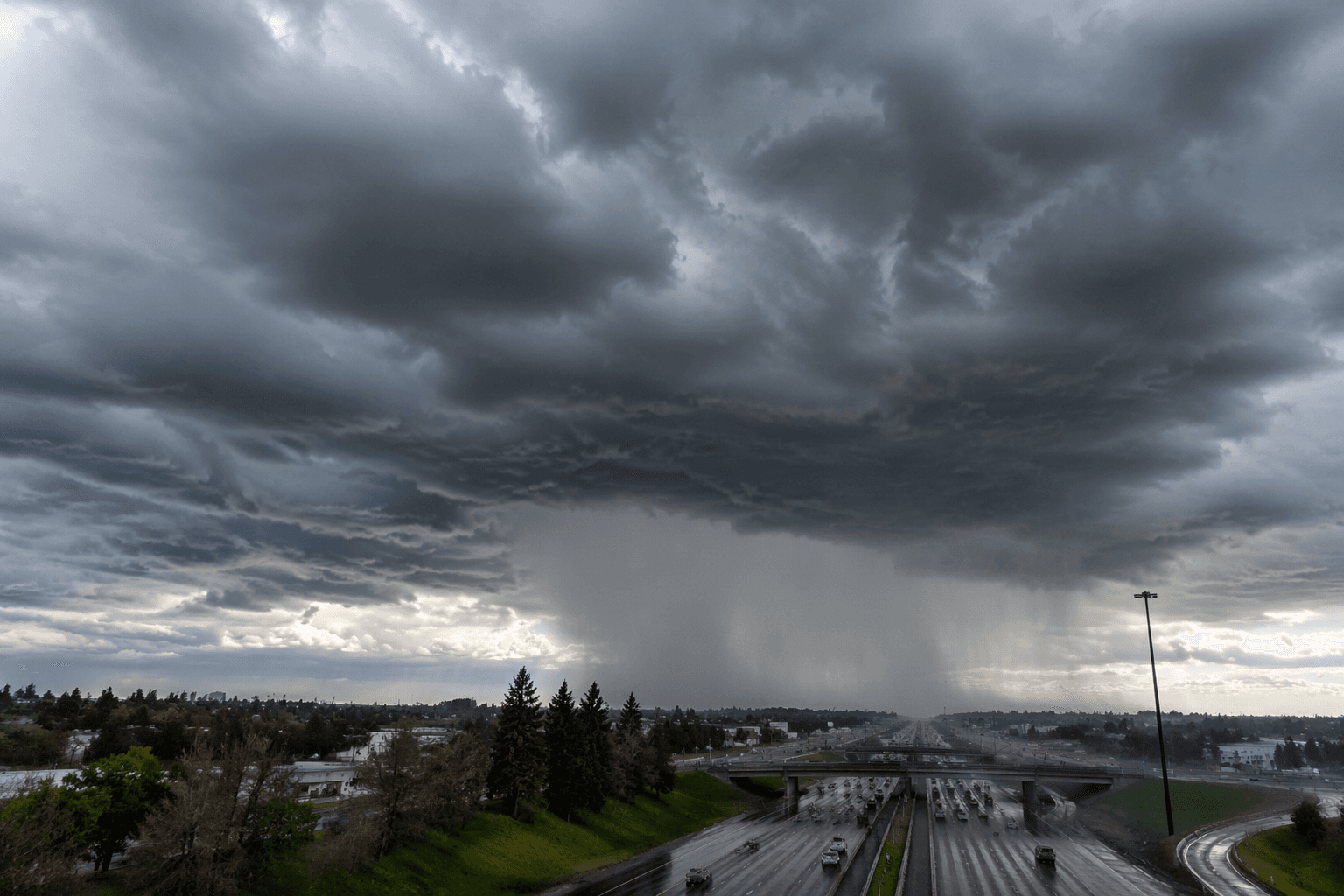
Hanford forecasters said unsettled weather will continue through Memorial Day, with thunderstorms possible across the Sierra crest. That keeps the eastern edge of Fresno County and the foothill-to-mountain corridor in the most alert posture, especially for people headed toward mountain recreation areas, trailheads and weekend travel routes. The office also said stronger wind gusts are expected across central California, a setup that can ripple into the valley with blowing dust, sudden crosswinds and slower traffic on exposed roads.
Elsewhere in the Hanford forecast area, the service issued a Wind Advisory for the Mojave Slopes and Desert from 11 p.m. Monday through 11 a.m. Wednesday, along with a Lake Wind Advisory for the Kern River Valley, including Lake Isabella, from 5 p.m. Monday through 5 p.m. Wednesday. Those alerts show how broadly the unsettled pattern is stretching across the office’s territory, which runs from about 90 feet above sea level near the Merced County line to 14,495 feet at Mount Whitney.
The weather service’s severe-weather pages point residents to the latest special weather statement, local storm reports and county-by-county watches, warnings, advisories and outlooks. The office’s climate pages, which use the 1991-2020 normals period and keep Fresno precipitation totals going back to 1878, underscore how closely late-spring storms are tracked in a region where severe weather can arrive quickly. That caution is justified: on April 21, 2026, a tornado struck Terra Bella in Tulare County, and Hanford later confirmed it as the fourth tornado verified that day, tying the office record for the most tornadoes in one day in its area.
This article was produced by Prism’s automated news system from verified source data, official records, and press releases, then run through automated quality and moderation checks before publishing. The system is built and supervised by the people who set the standards it runs under. Read our full AI policy.
Did this article answer your question?


